Katy Trail Bike Tour: Epilogue

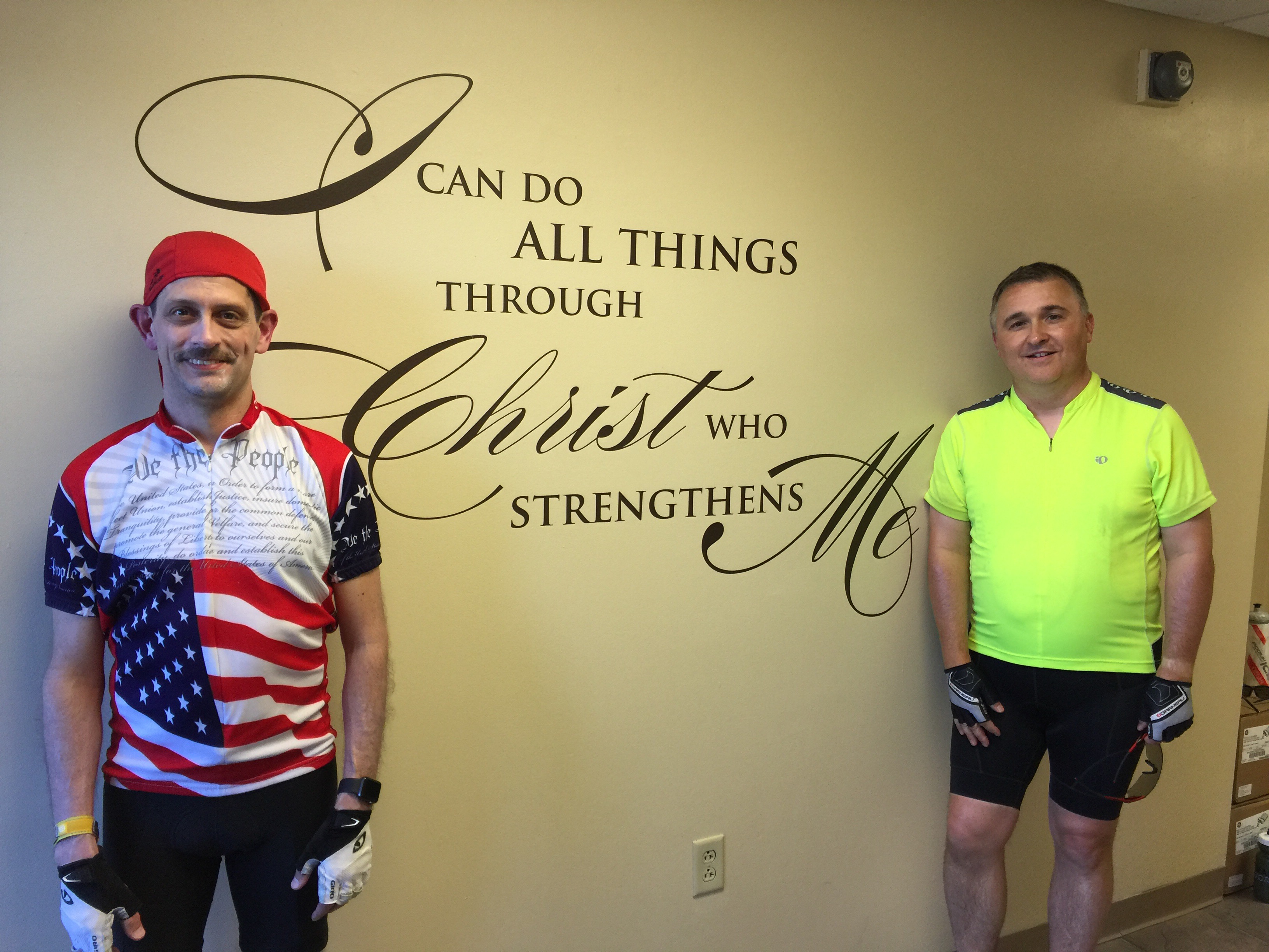
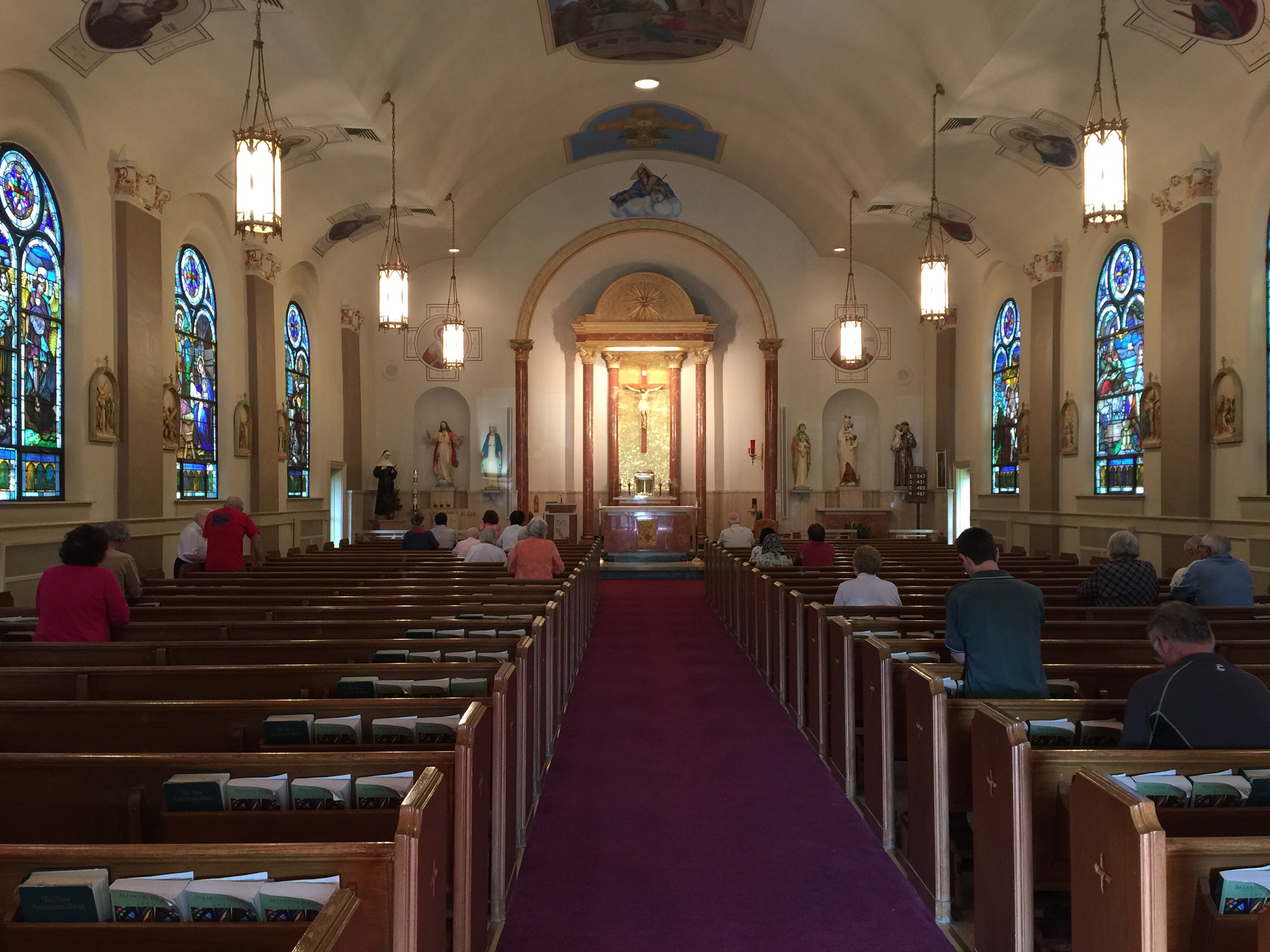
After getting cleaned up last night, I had a great night’s sleep in my own bed.  I’m sure everyone can relate to the comfort of climbing in your own bed after a long journey.  It just feels like home.  Throughout our journey, we had very great accommodations from the various churches and Deacon’s houses we visited.  But there is still nothing quite like being at home.

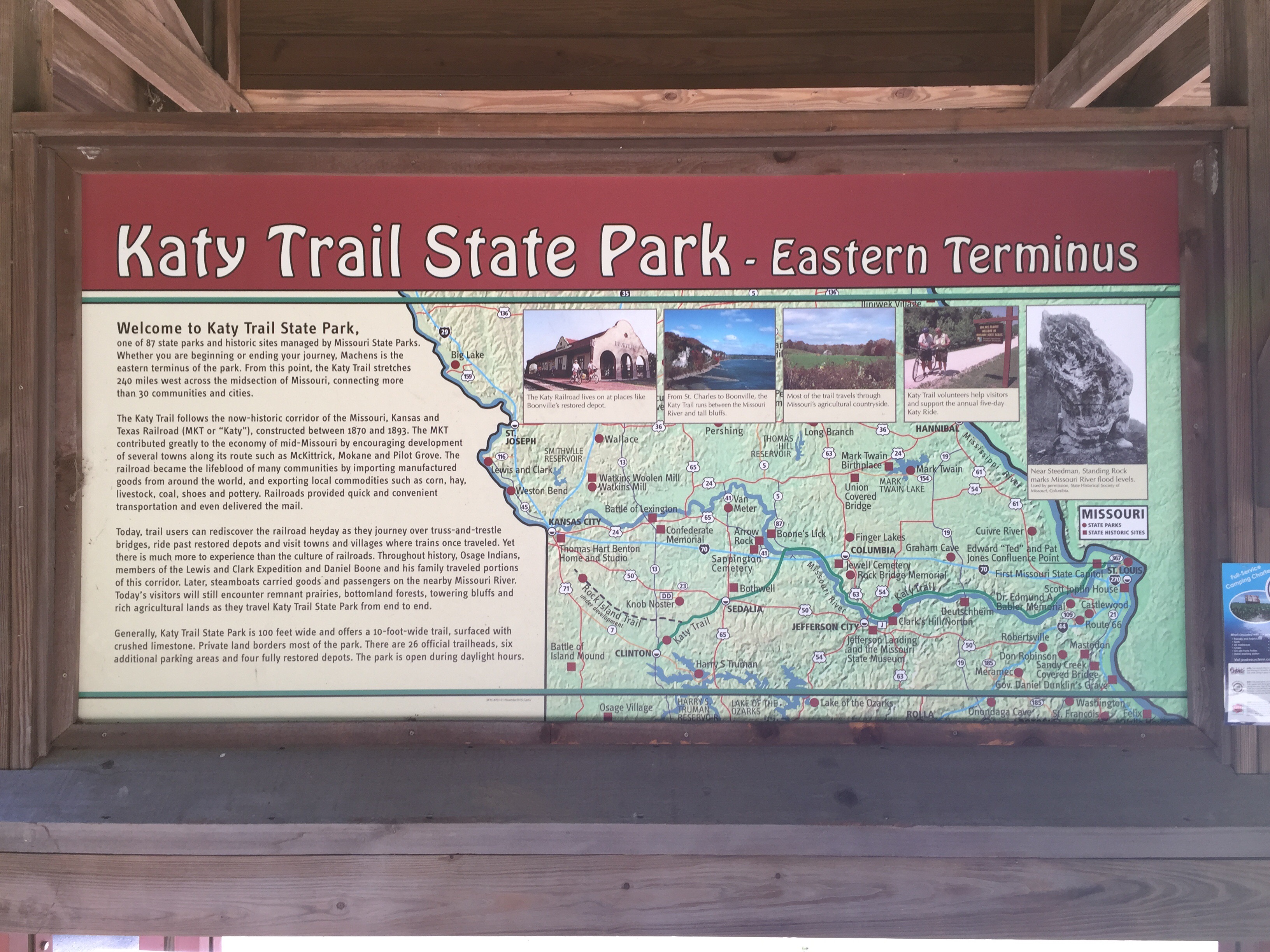
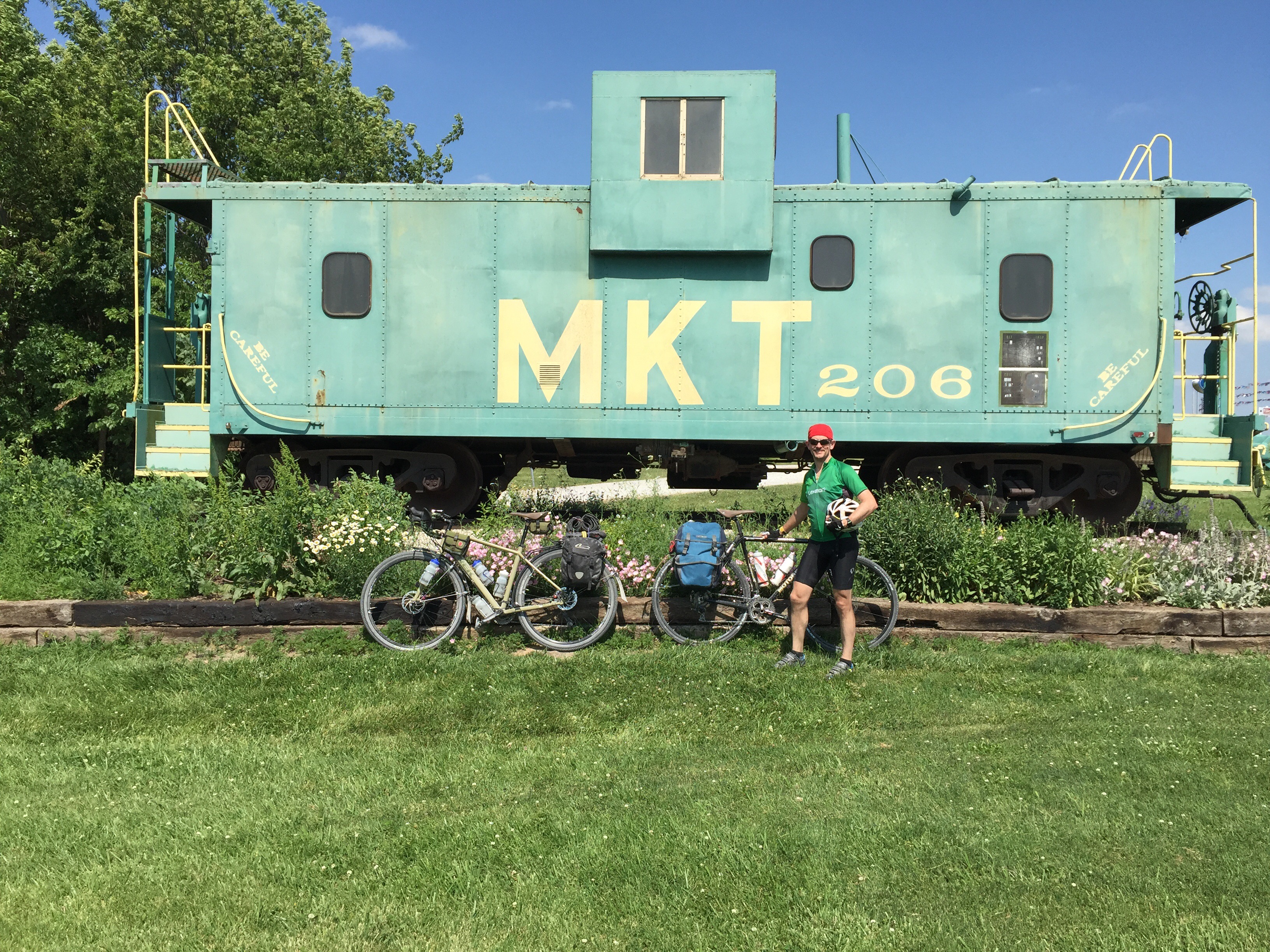
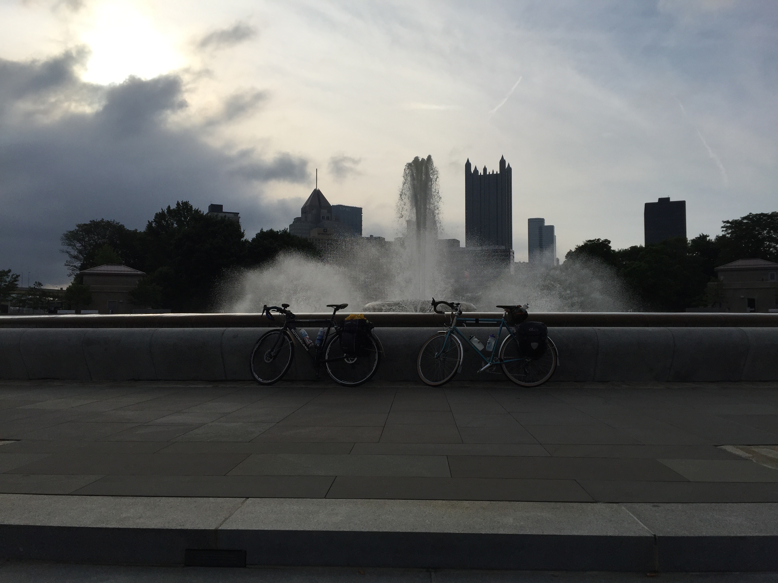
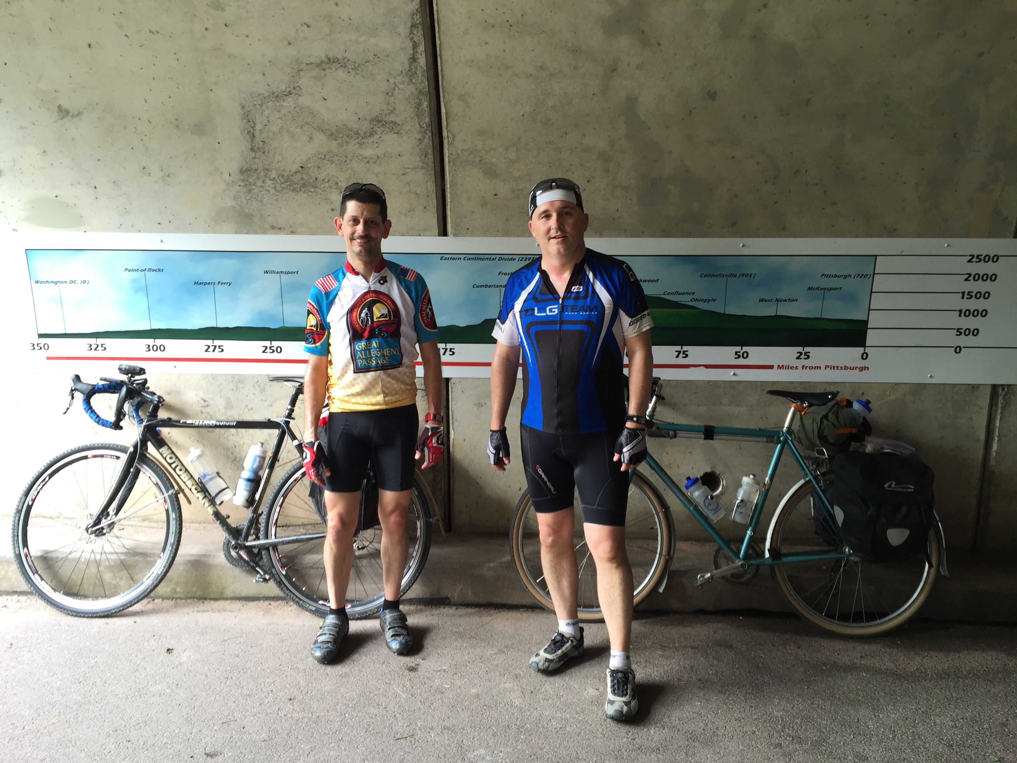
The Katy Trail has a bit of a mystique about it.  Most people who enjoy bike touring have it on their bucket list.  It is kinda like a baseball fan wanting to go to Wrigley or Fenway.  The Katy opened in 1990 and was one of the earliest successful rails-to-trails projects, and arguably one of the most successful in garnering interest.  It is the longest single contiguous rail-trail, although I would say that the combination of the Great Allegheny Passage + C&O Canal makes for a longer continuous off-road ride at about 330 miles.

For me, part of the enjoyment of the tour is the getting ready: the research, reading, watching videos, finding blogs, and talking to people who have already ridden the path.  It was harder than I expected to find out a lot about the towns along the path.  After riding it, I think that is because many are closed up old towns, whose soul lies in the past.  The best book I was able to find was “The Complete Katy Trail Guidebook” (10th ed.) by Brett Dufur.  It was last published in 2013 and could use some minor updates, but overall was a good resource.  I do recommend this book if you’re considering riding the Katy.  Dufur’s book has a small chapter on each of the little towns and areas along the way with history and some details about services.  Some of the services information is no longer up-to-date.

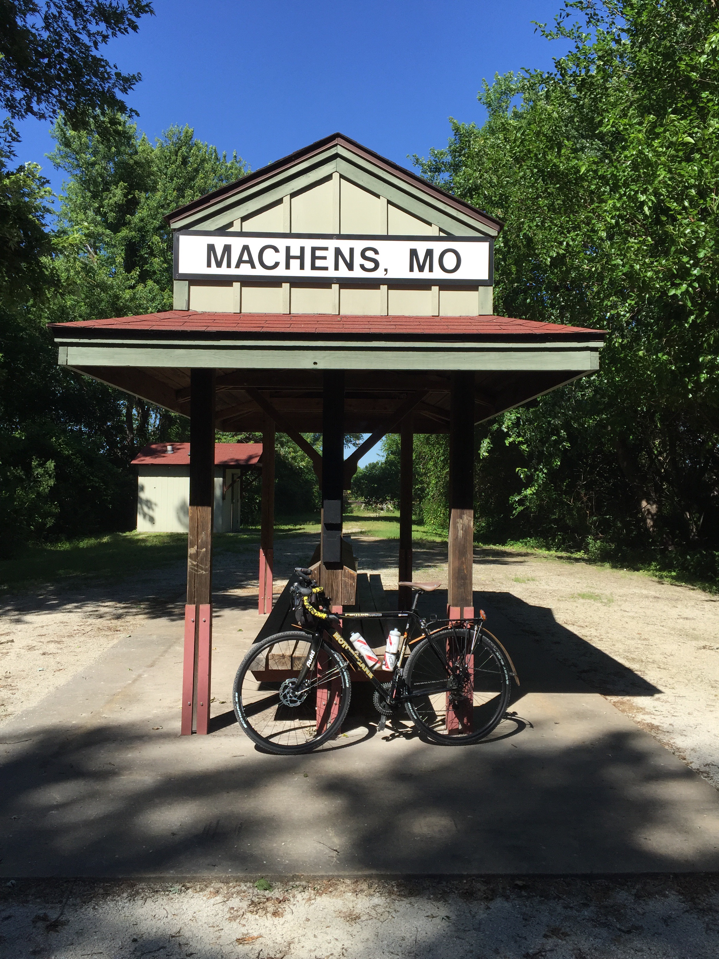
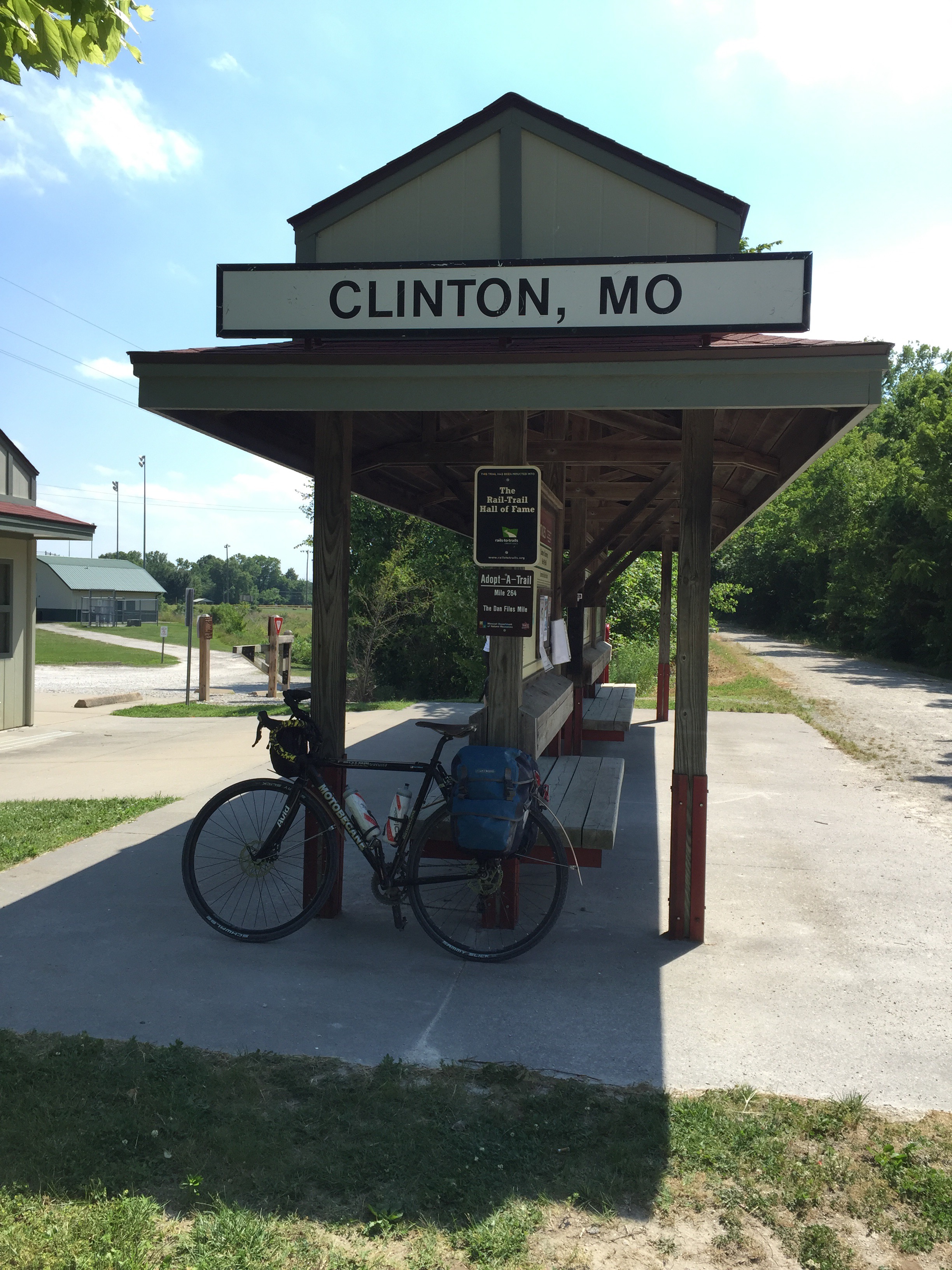
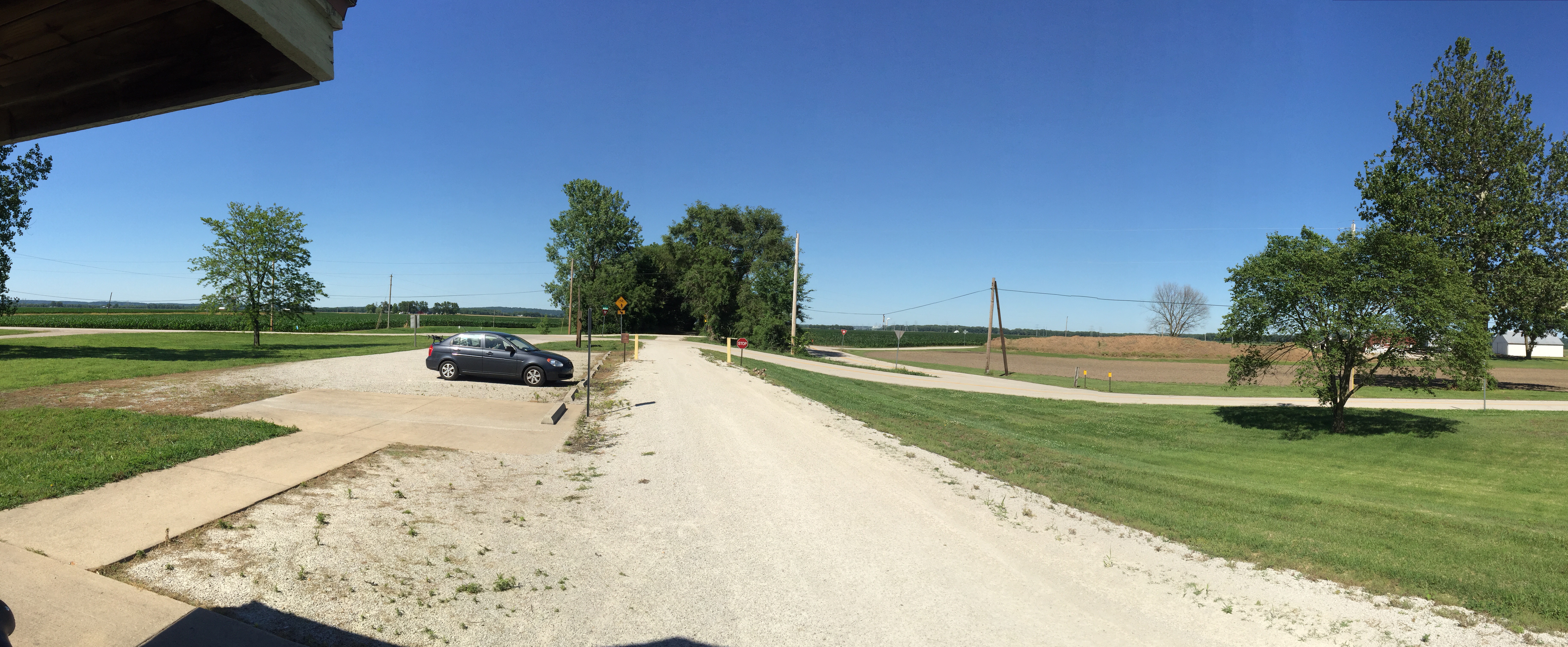
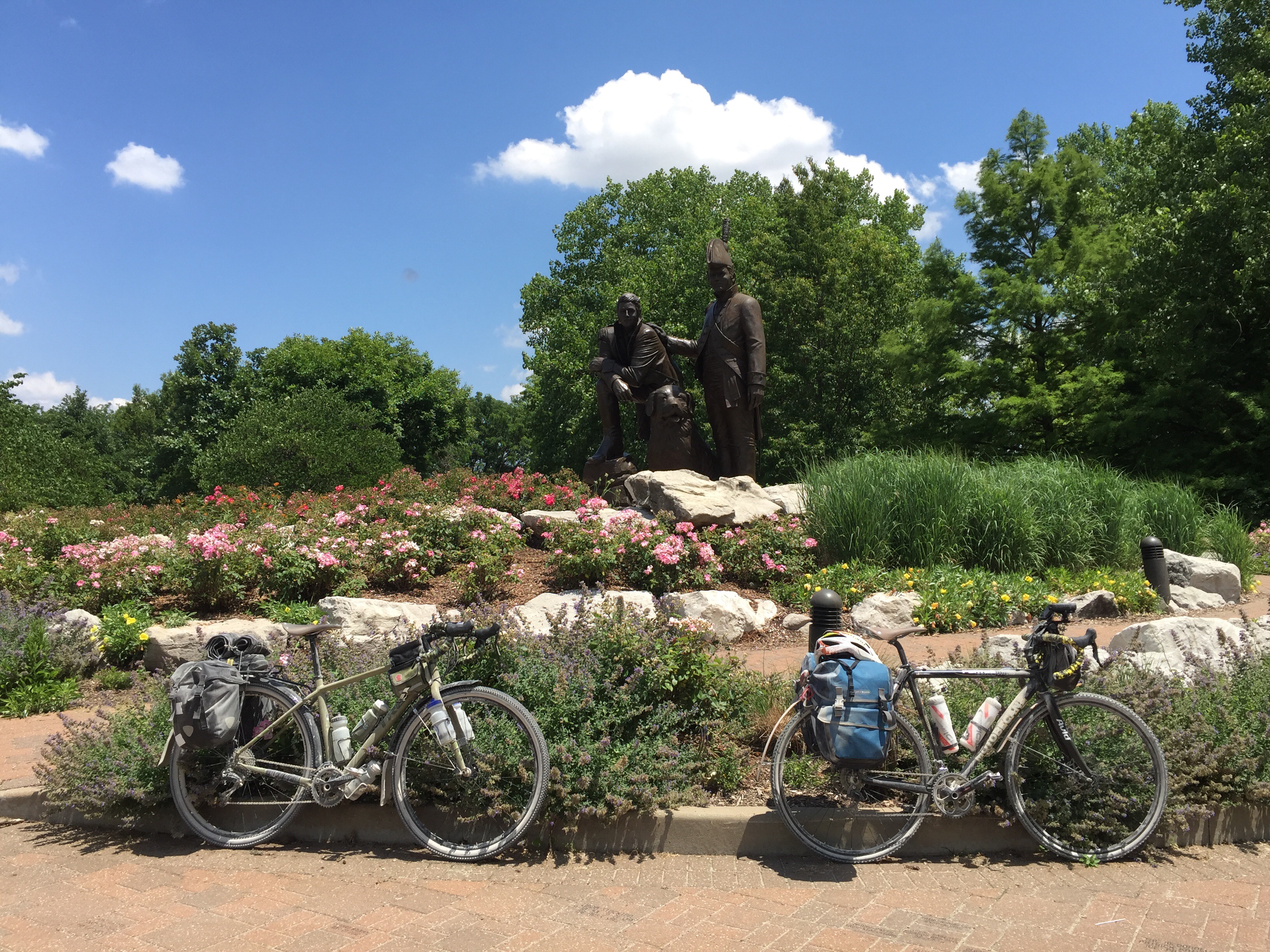
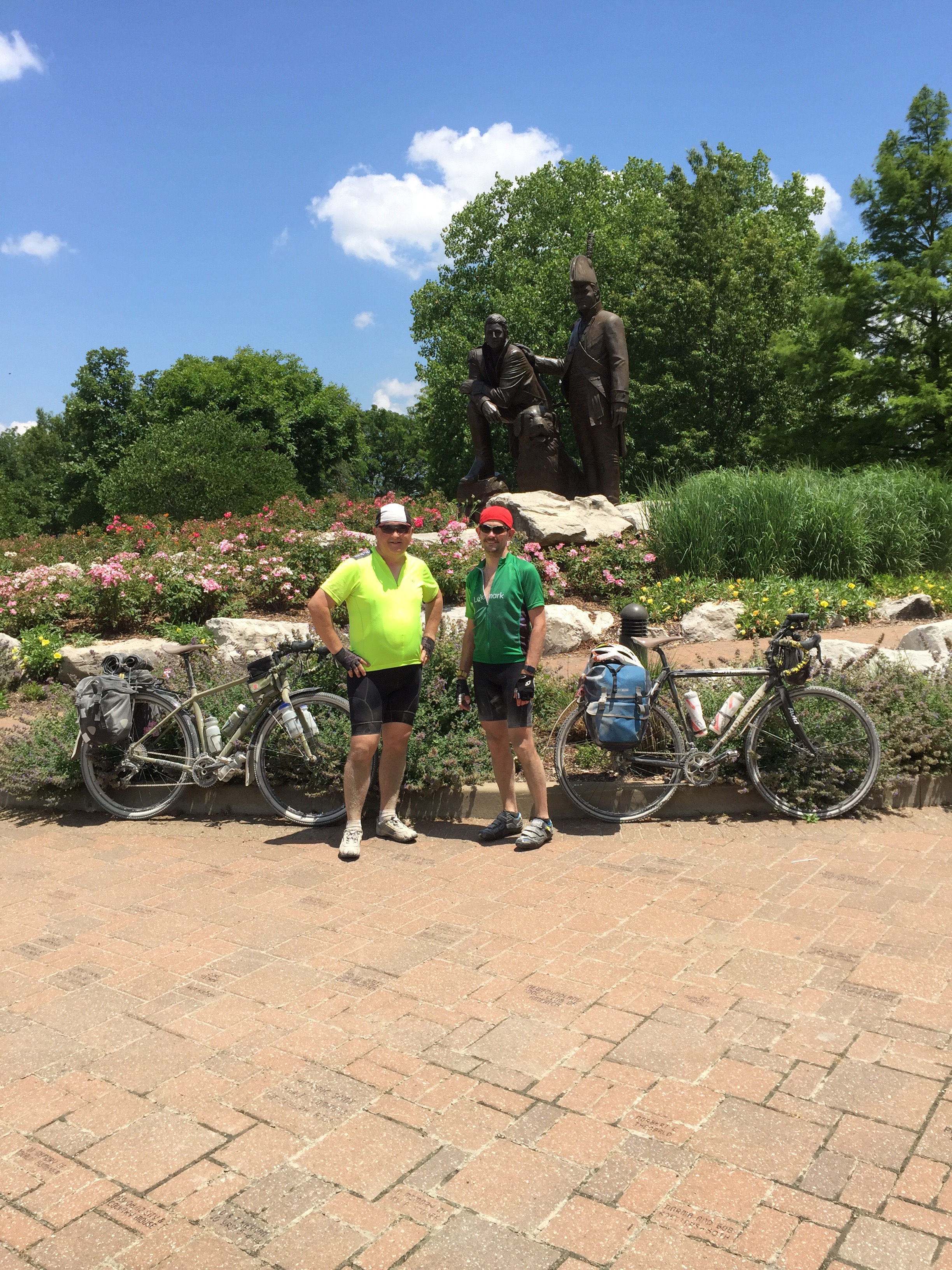
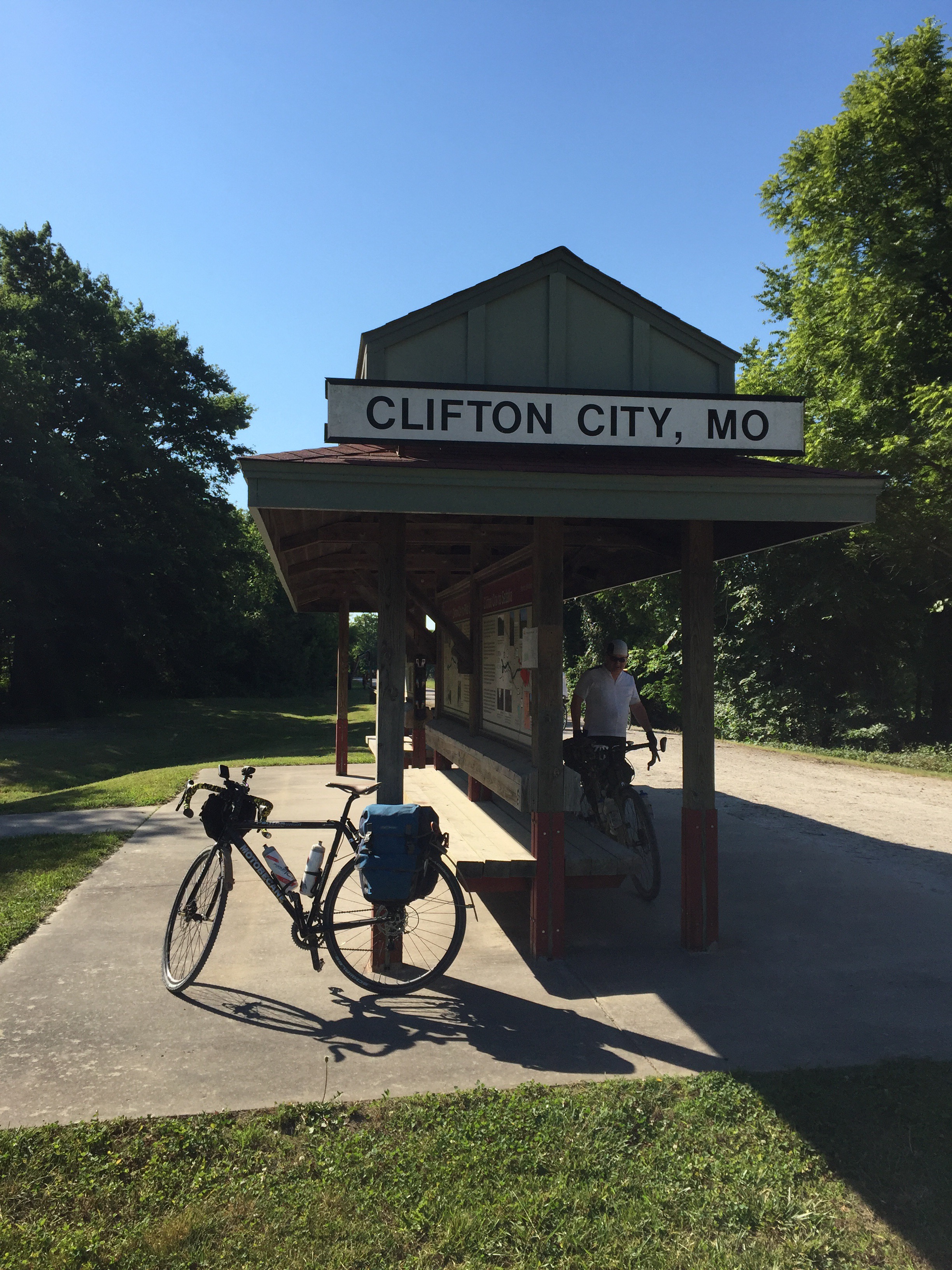
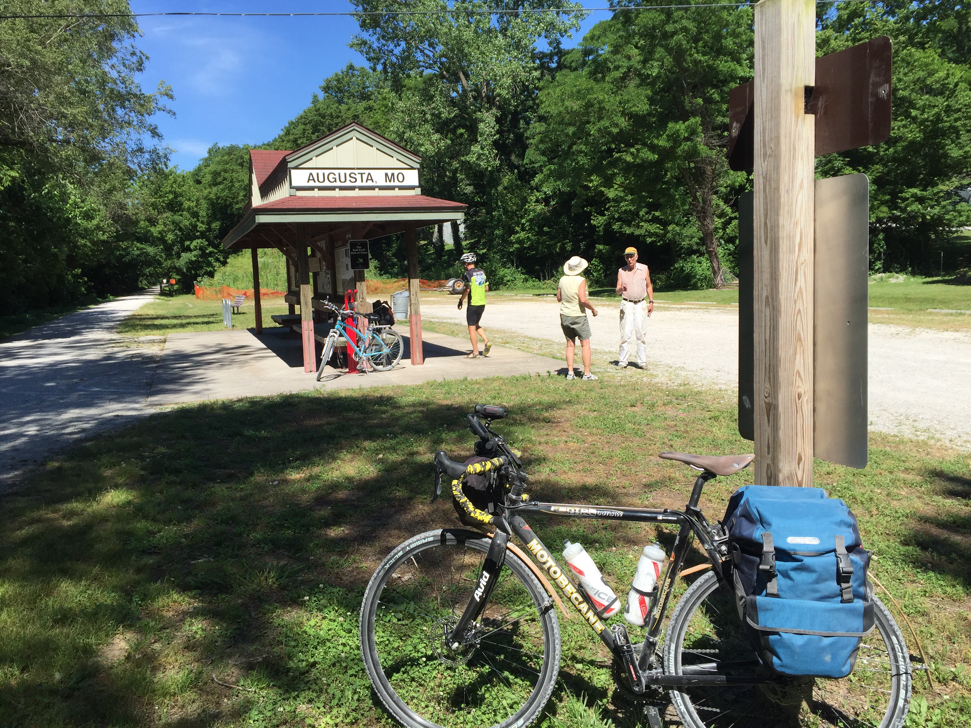
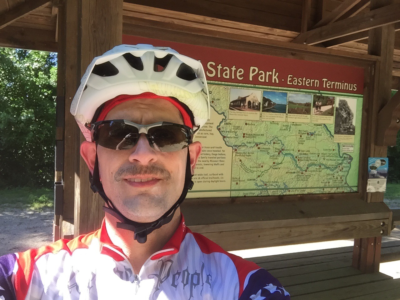
Riding the Katy was a very good experience.  We were able to ride all the way from Machens (the farthest east end) to Clinton (the farthest west end) with only about 3 miles of road riding around the town of Sedalia.  That’s 240 miles with 26 trailheads, wandering through the beautiful prairie and countryside of Missouri.

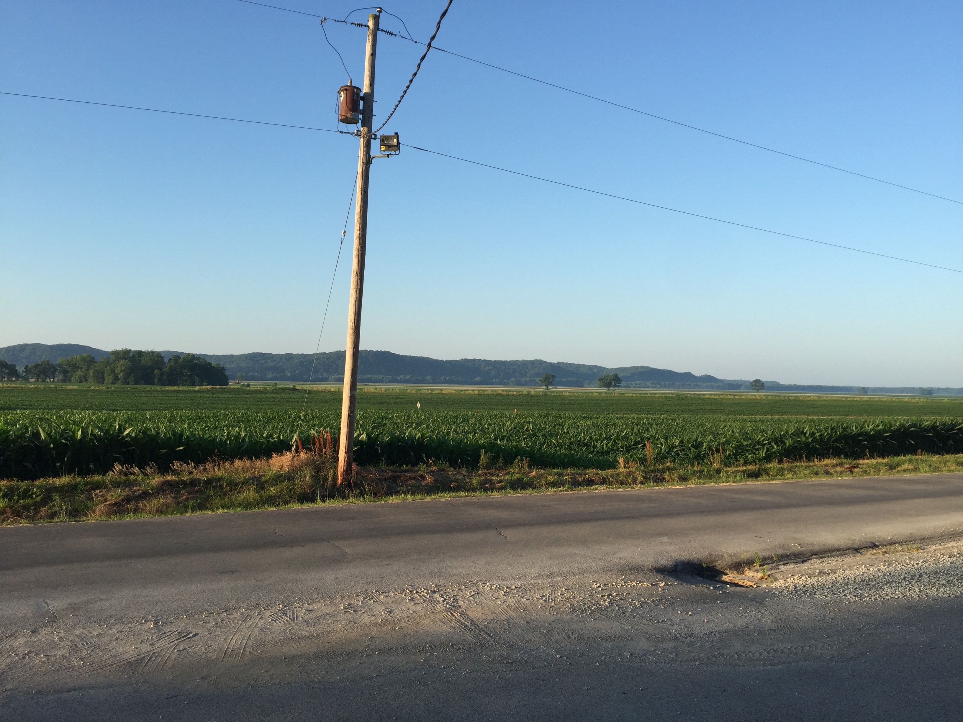
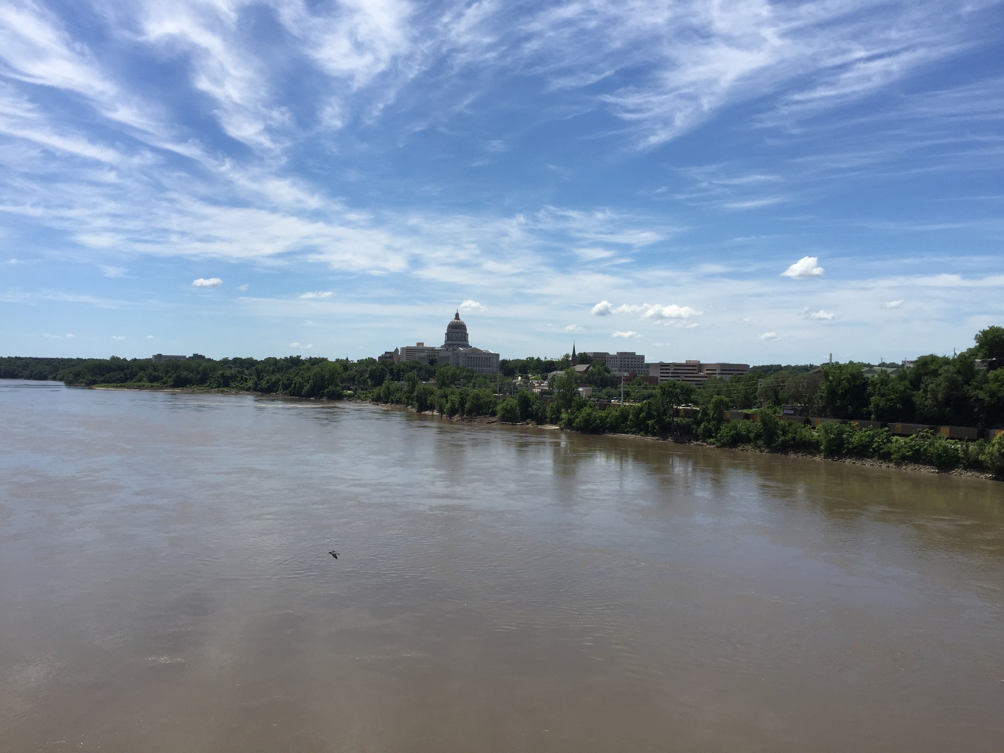
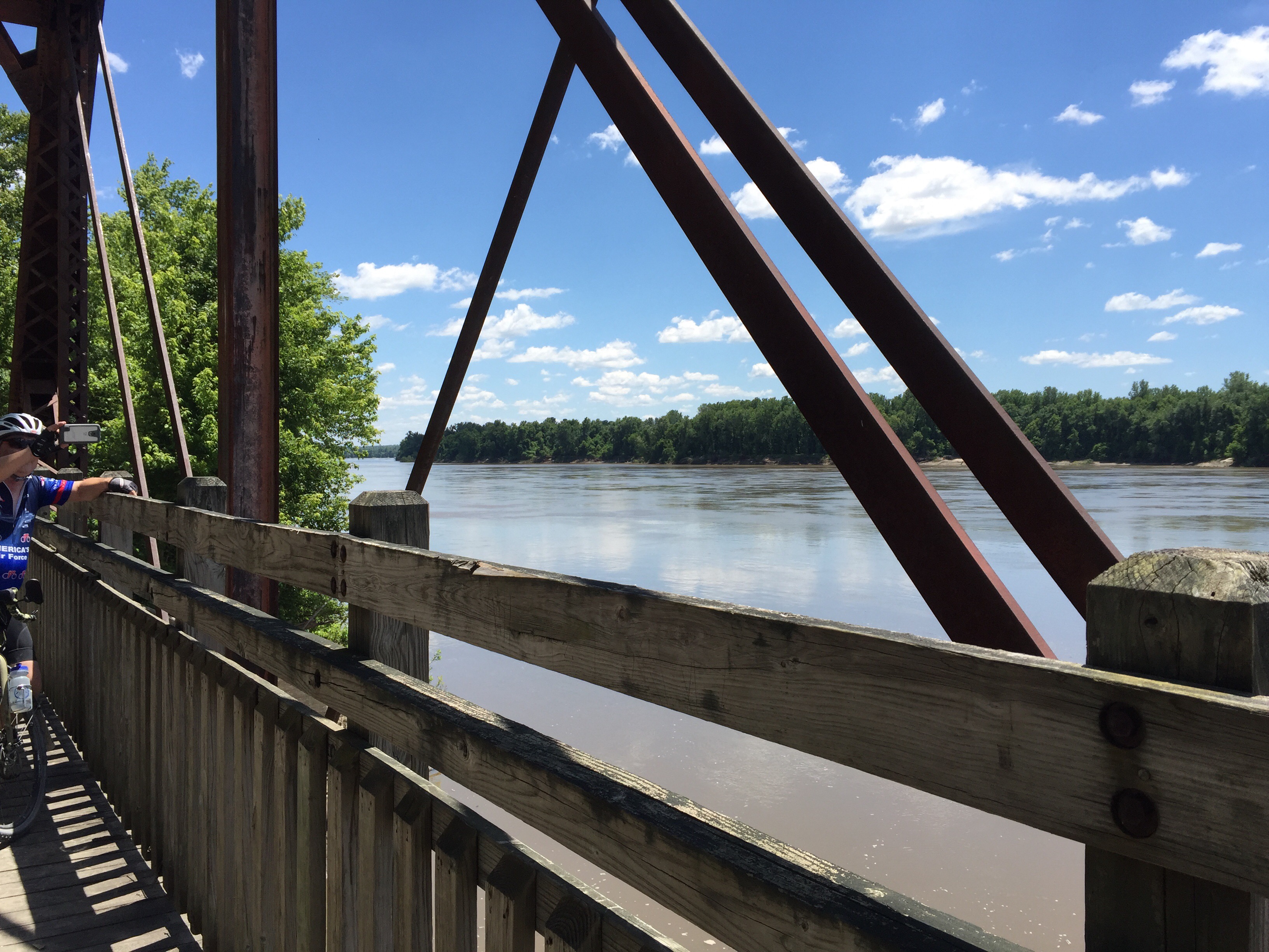
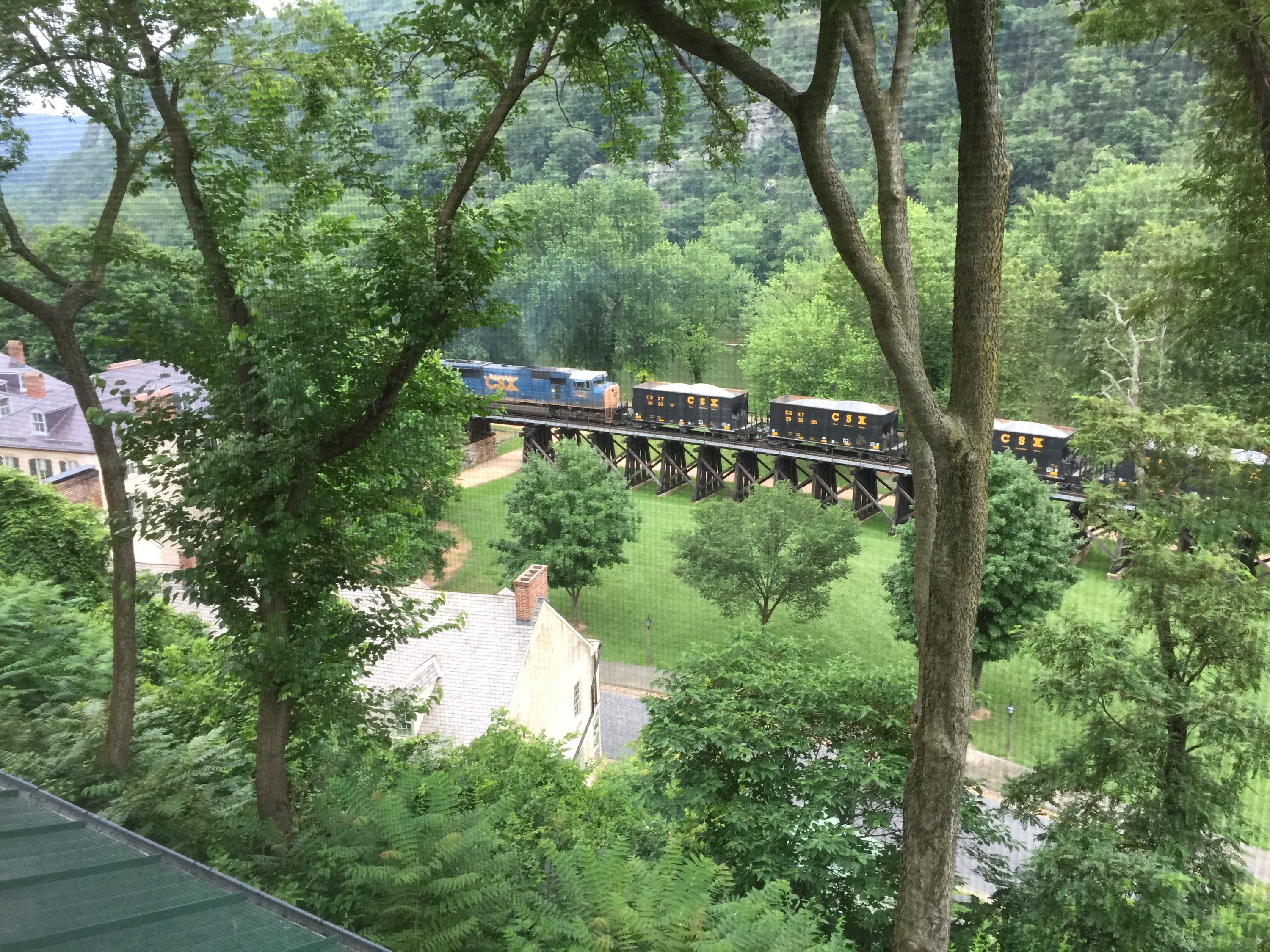
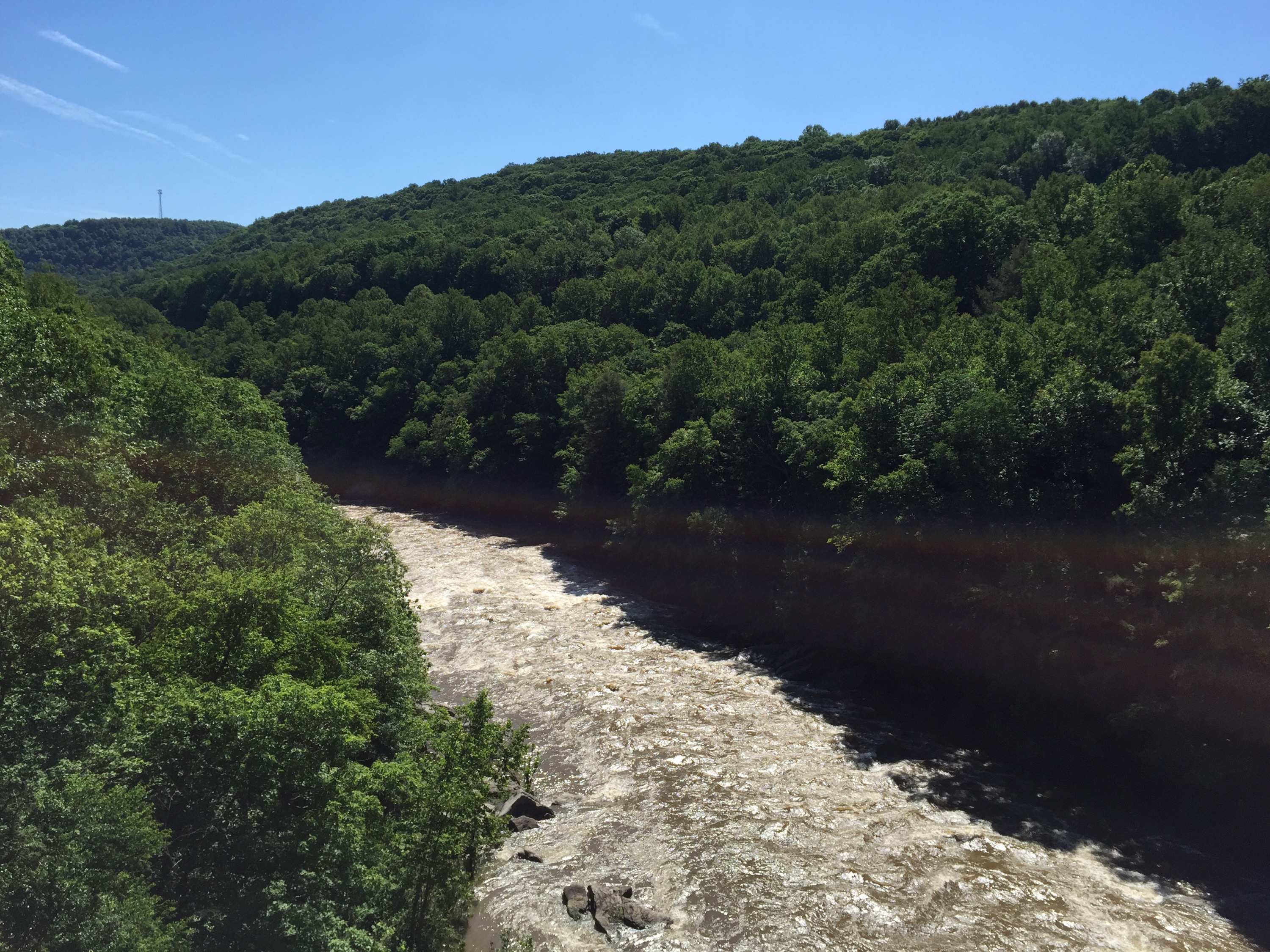
The scenery along the Katy is pretty.  I expected to see much more of the Missouri River – but we really didn’t see much of it.  The Katy and Missouri are relatively near each other from the Eastern end all the way to Boonville, before parting and going different directions.  But even on the eastern part of the trail, the Missouri was often a few hundred yards or more away.  So when we did get a nice view of the Missouri, it was a welcome sight.

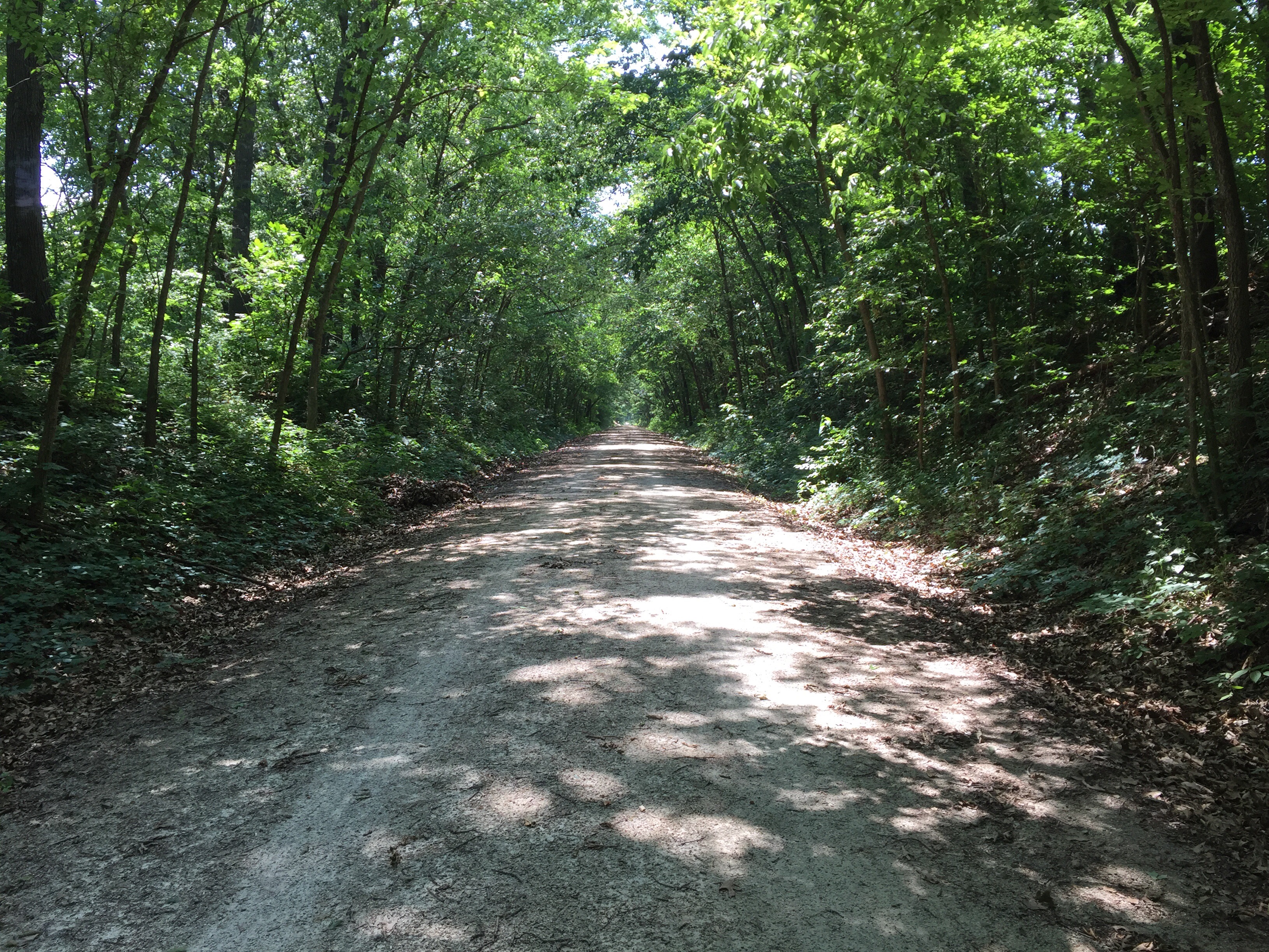
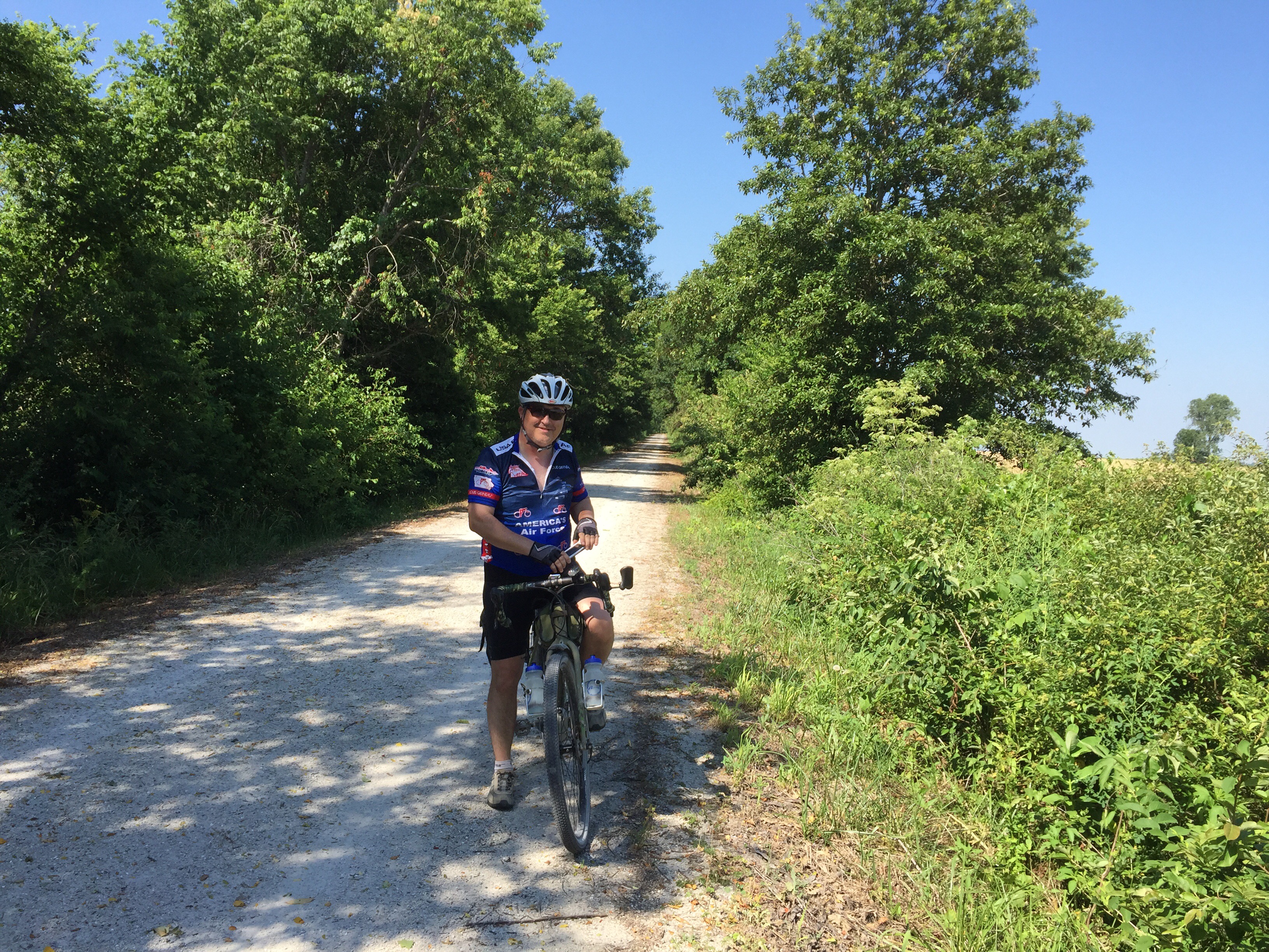
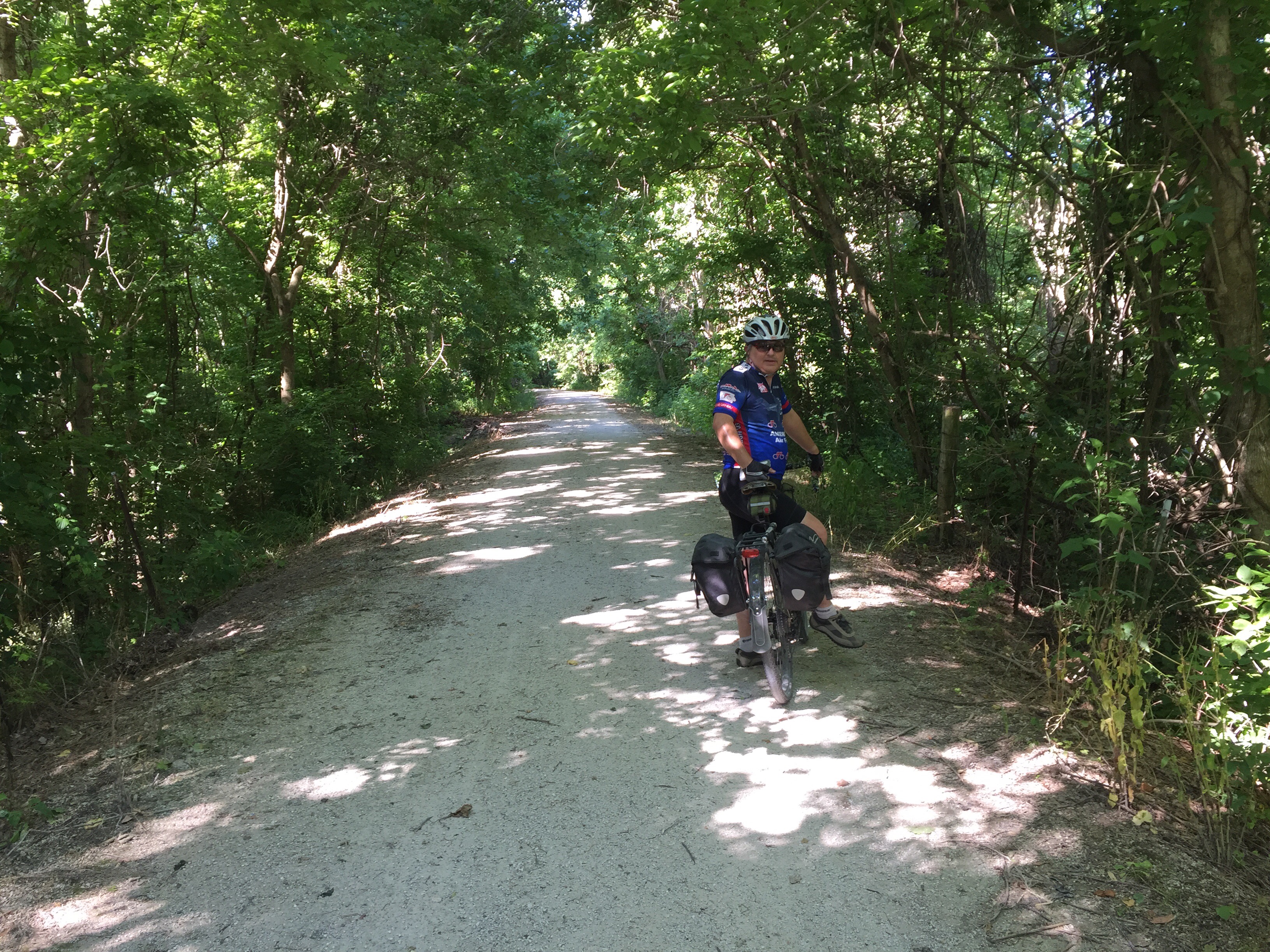
I was a little surprised about how much of the trail was out in the open.  Much of the trail is shaded by a semi-mature canopy of trees.  I’d guess about 50-60% of the total trail has trees lining it.  During the early morning or late afternoon, the trees would do a good job of providing shade, however when the sun was directly over head, most of the canopy wasn’t thick enough to provide much shade.

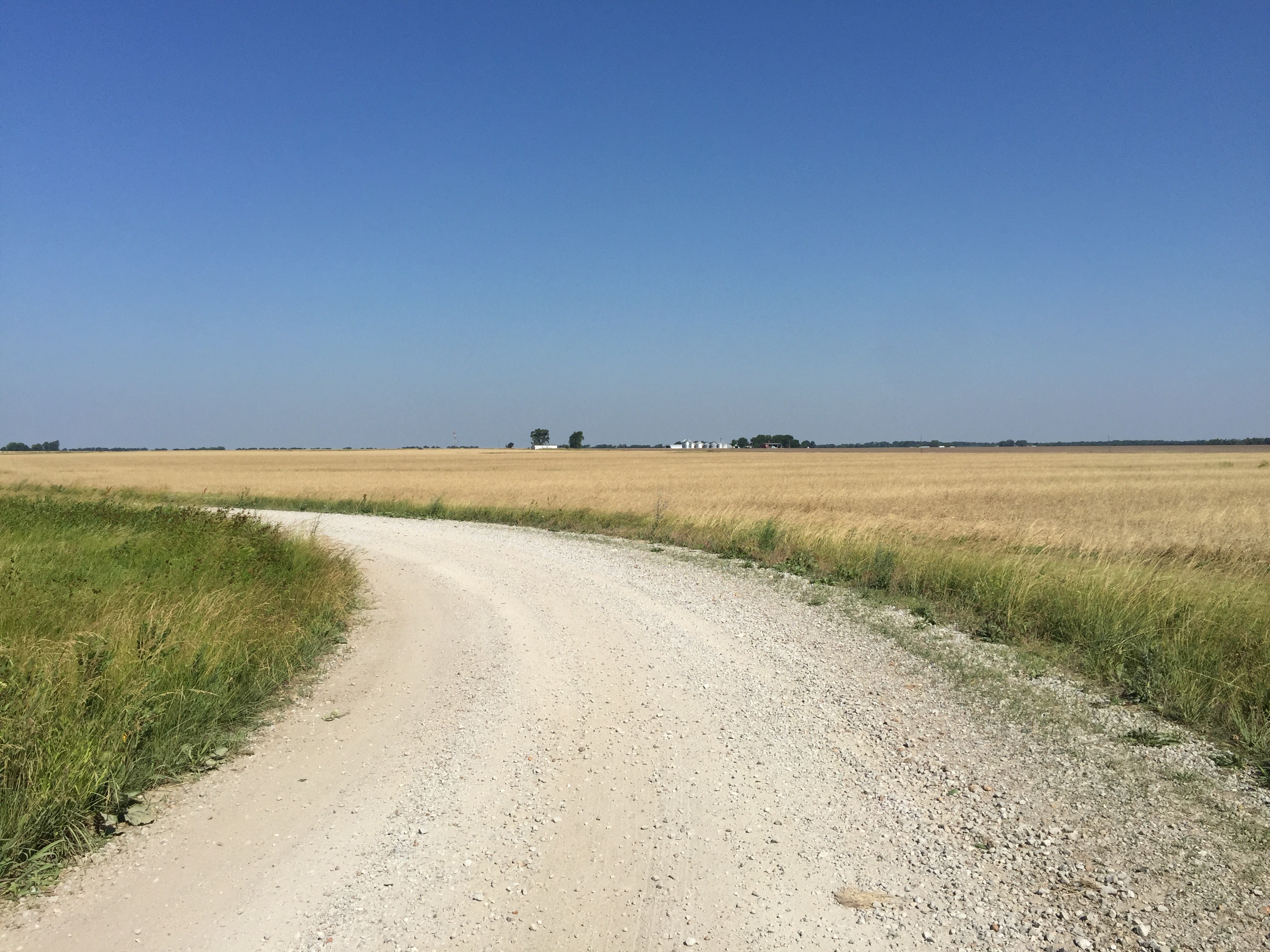
In the prairie areas, there was little-to-no shade at all.  During mid day, we found ourselves picking the left or right side of the trail depending on if there were any trees at all next to the path, just hoping to get a few seconds of shade here and there.

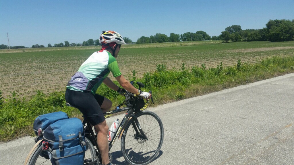
I found the farm country between St. Charles and Jefferson City to be pretty… but a bit repetitive after a while.  The trail is incredibly flat all the way from Machens to Boonville, which doesn’t allow for you to break the monotony by standing out of the saddle for a climb, or coasting down a grade.  It is just a continuous beat of putting one pedal in front of the other until  you reach your destination.  Personally, I like a little bit of variety in my ride to help make the miles pass.

The prairie between Sedalia and Clinton was my favorite of the farm areas, though.  It was very windy up there, but the wind seemed to make the fields come alive, like watching the ocean on a beach.  The waves of air would ripple across the grain or corn, causing them to dance in rhythm.

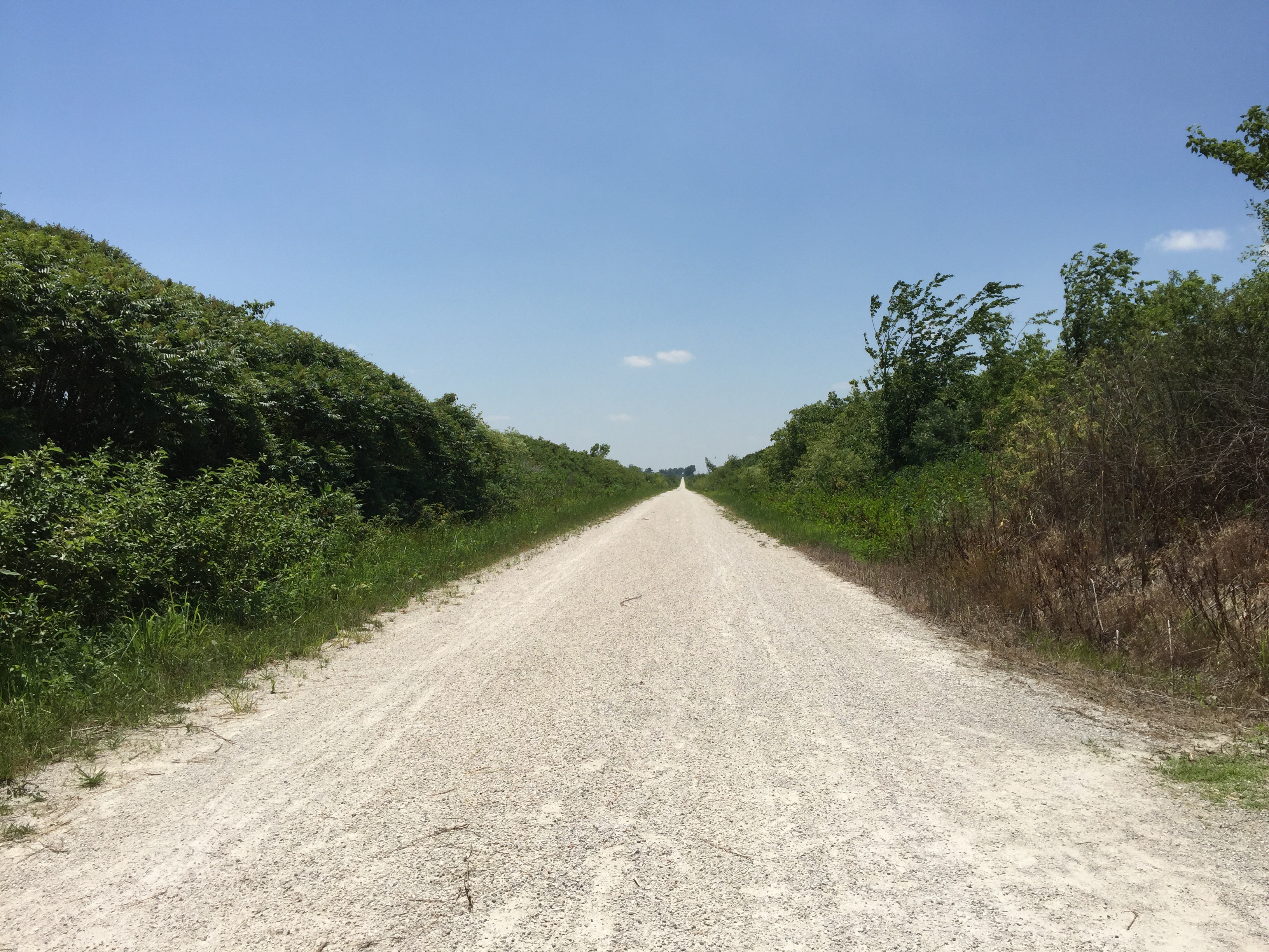
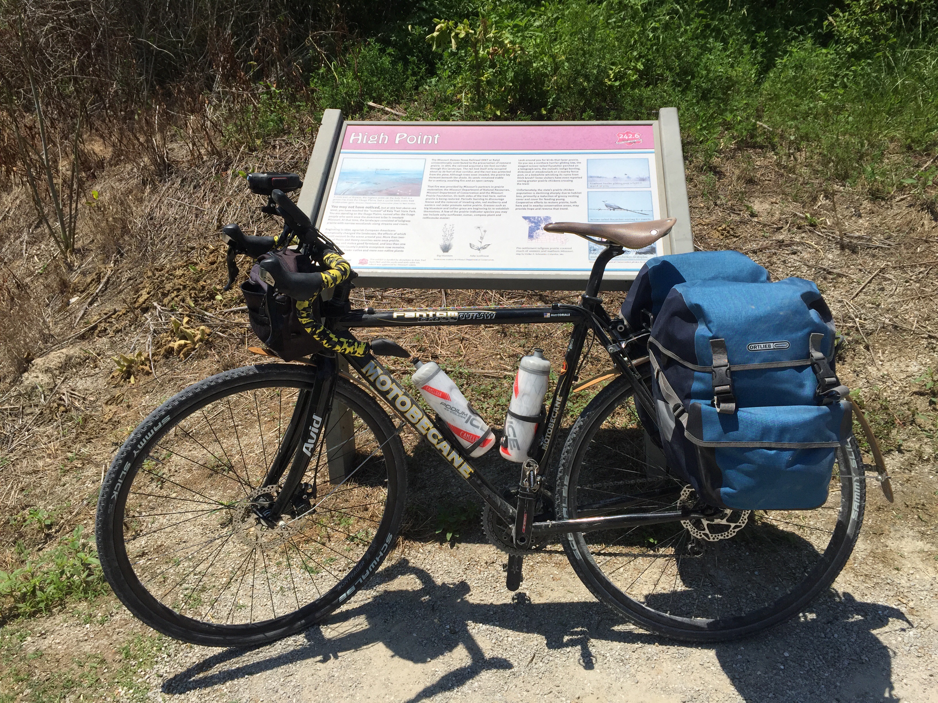
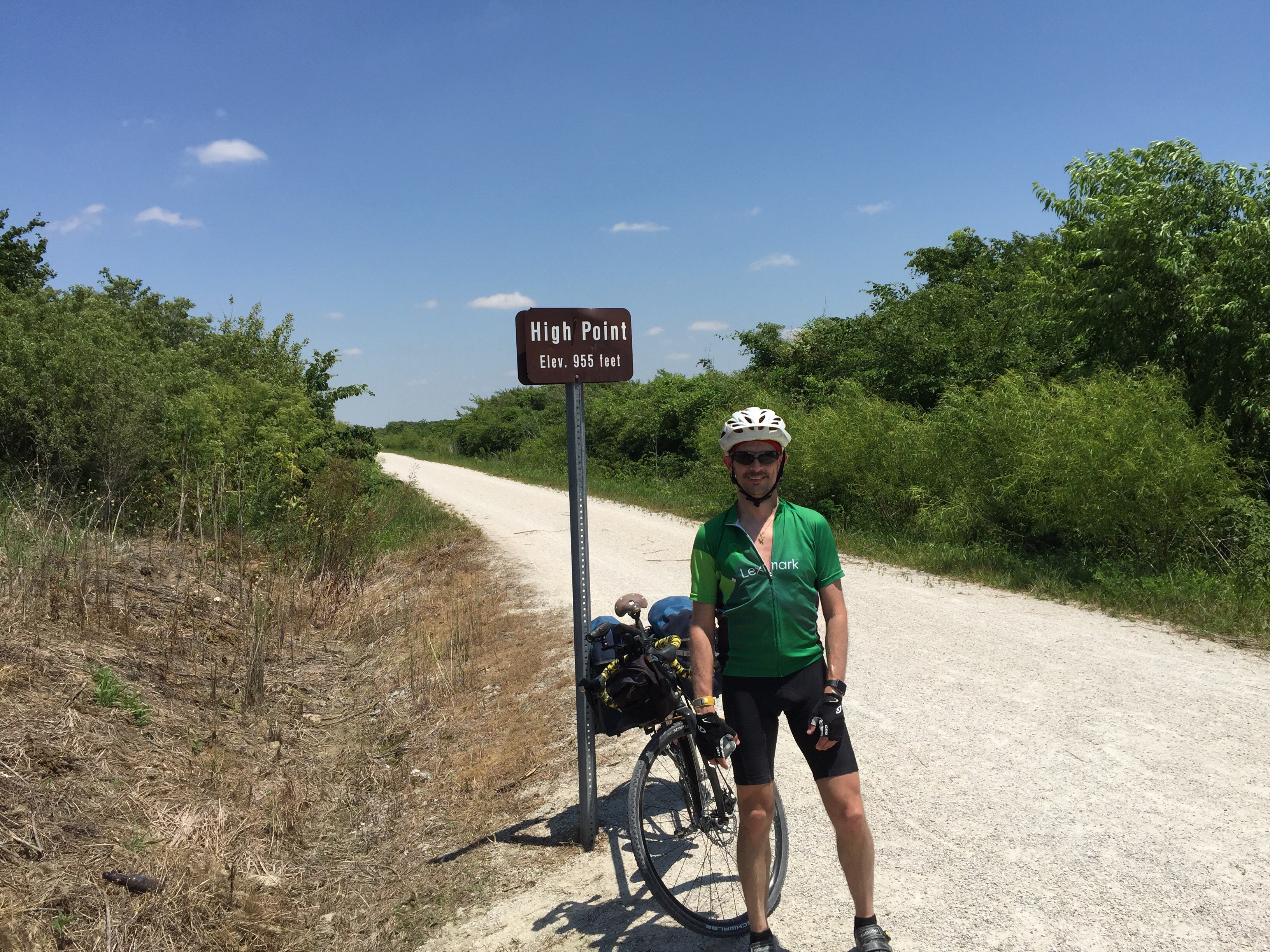
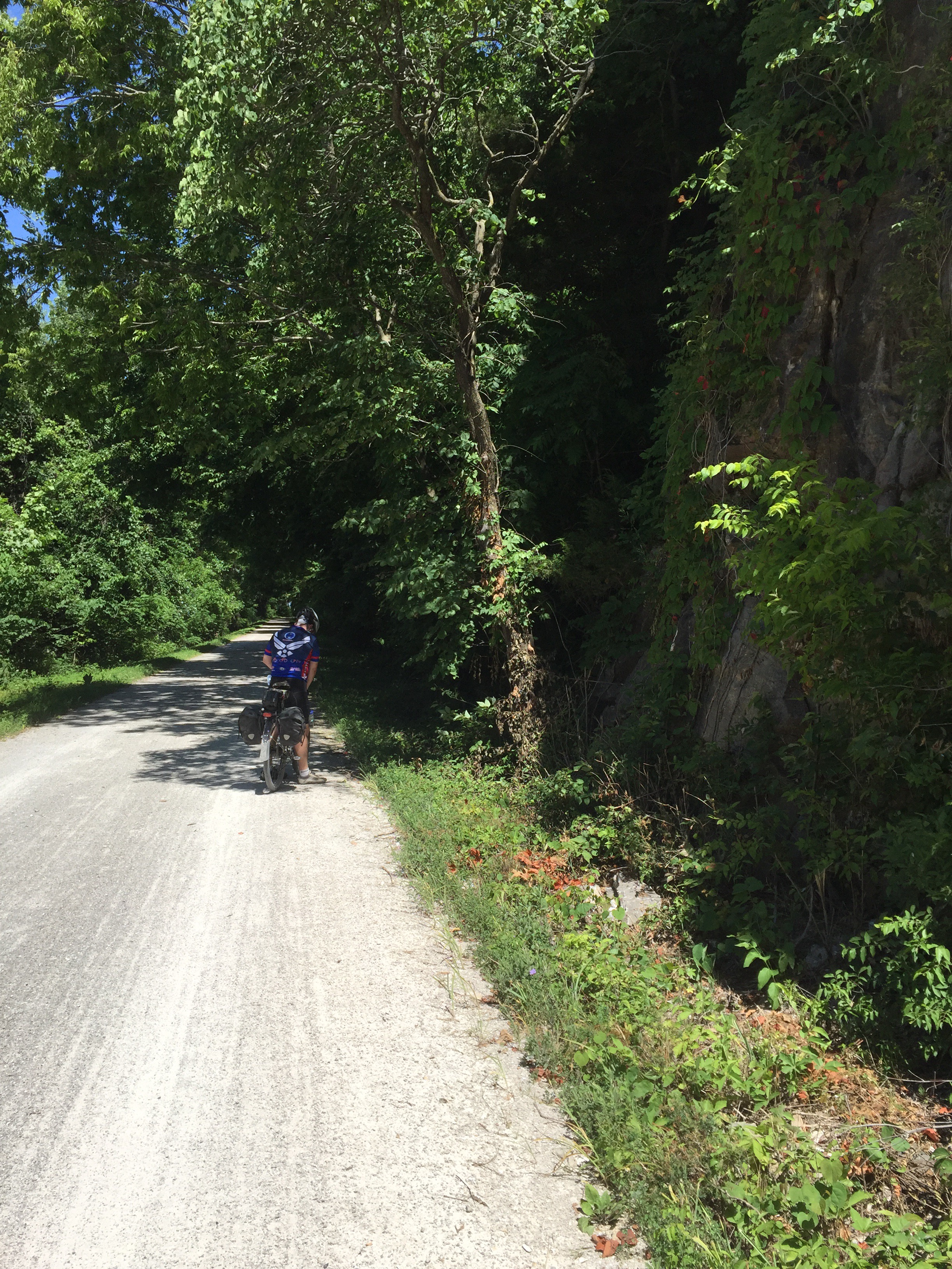
The western section between Boonville and Clinton provided the most diverse scenery and riding.  There is very little flat riding, only gentle grades, typically about 1-2%.  There are larger sections of tree canopy and more interesting rock formations along the sides of the trail.  Also, the trail is more compacted and solid here.  The surface was mostly older, so it is less dusty and took less pedal power to keep the wheels moving.

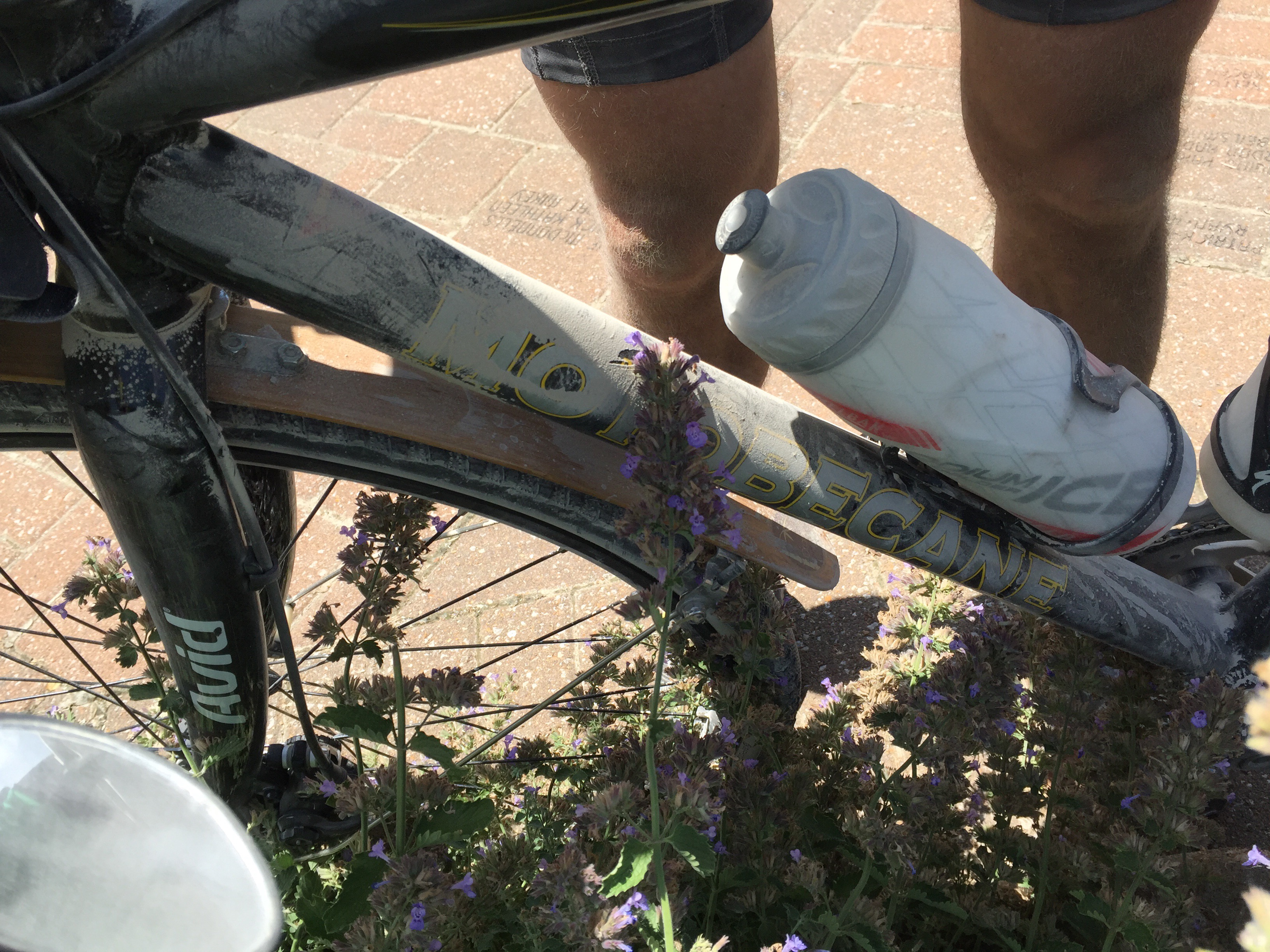
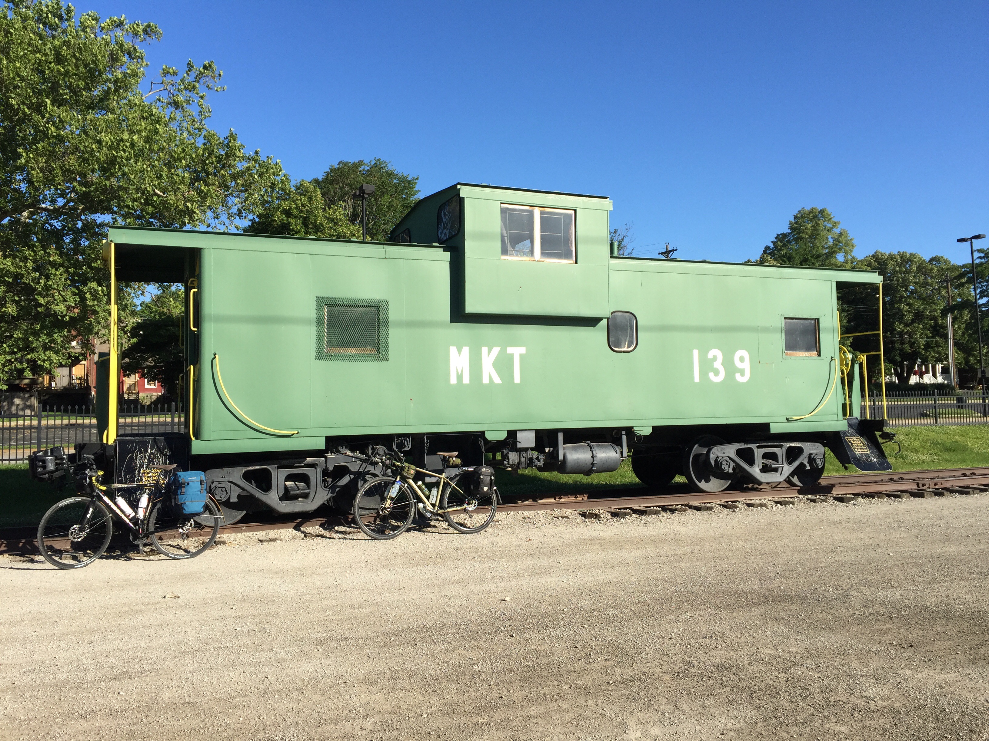
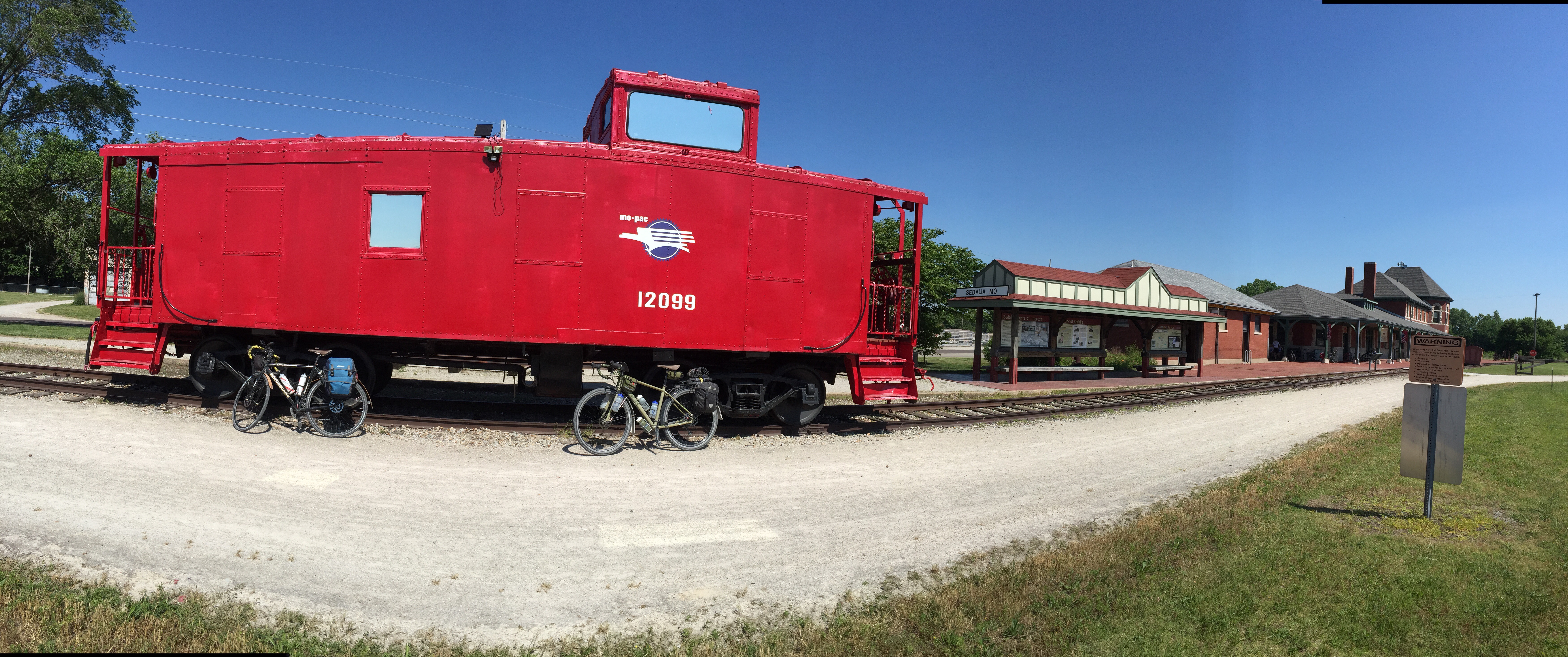
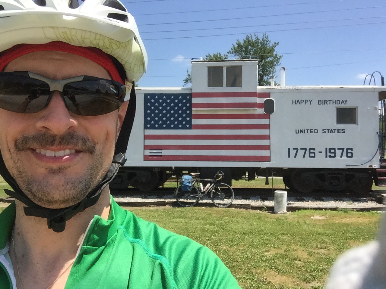
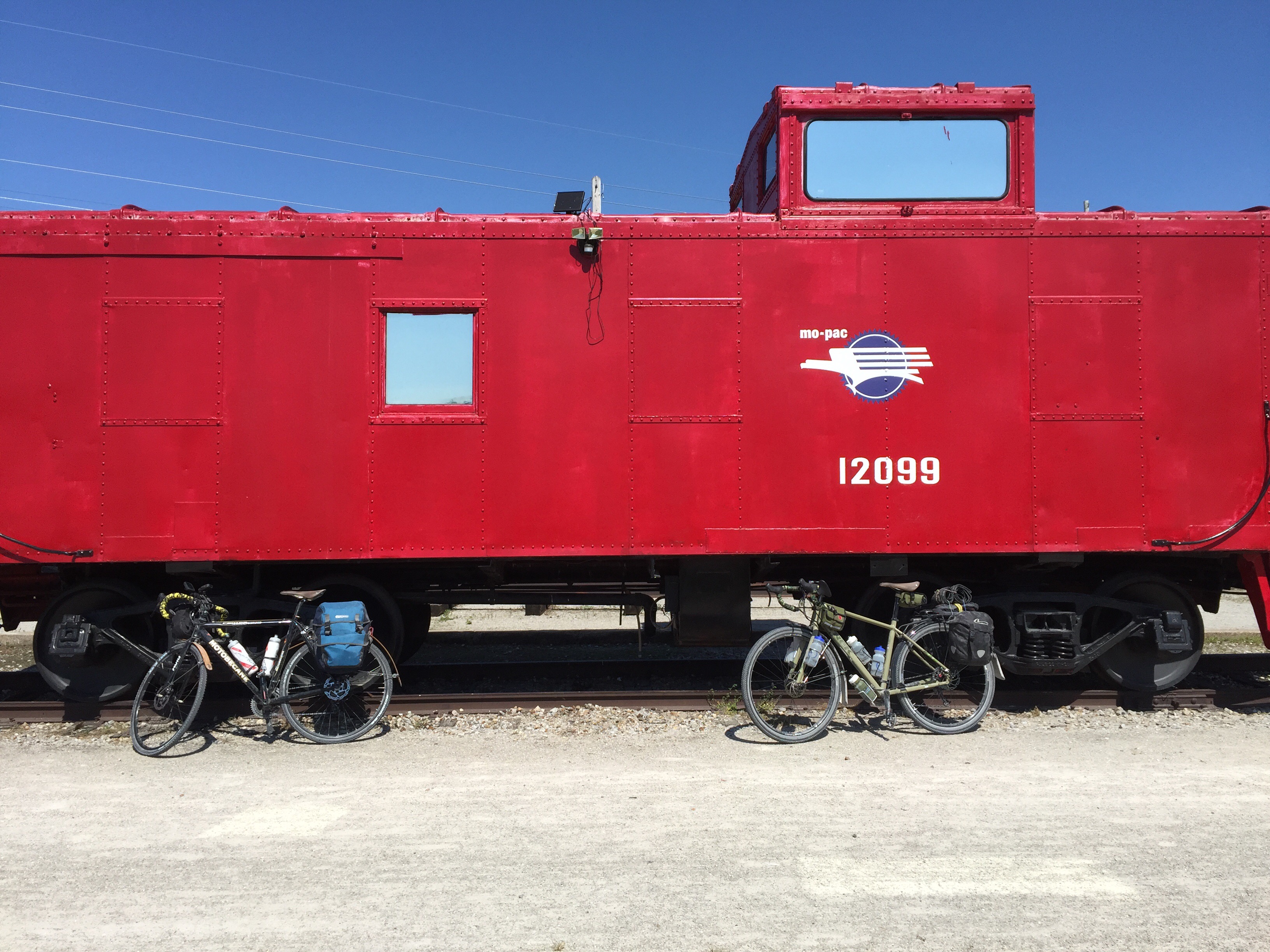
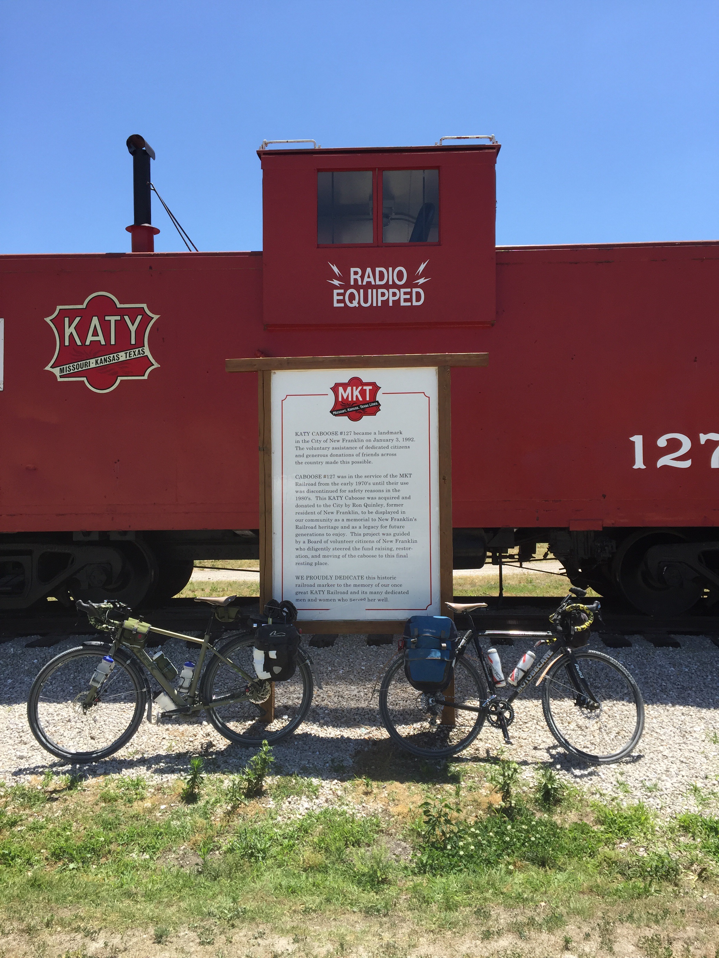
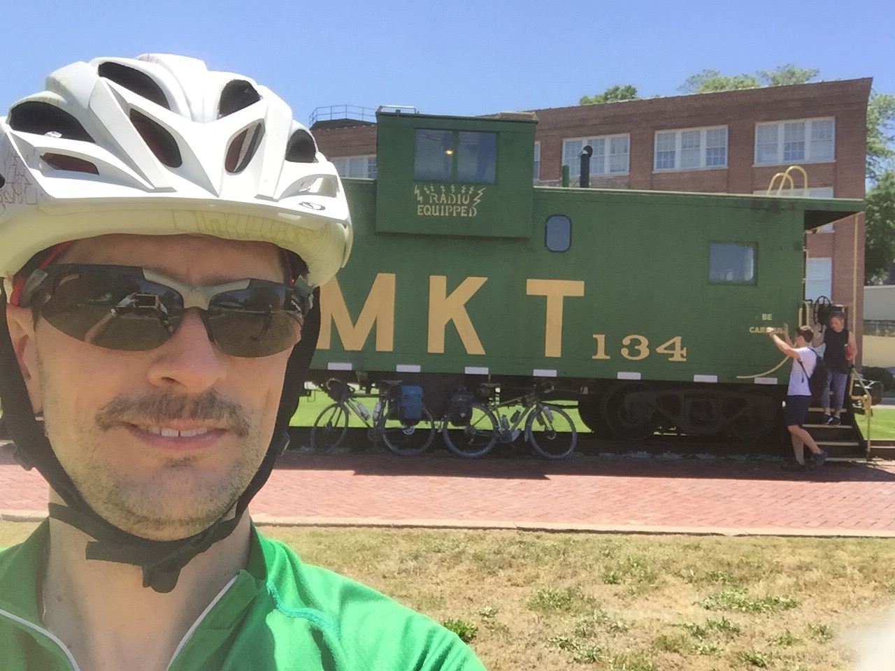
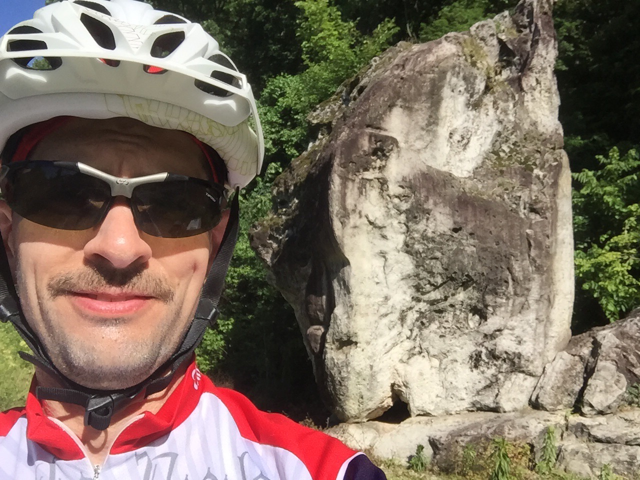
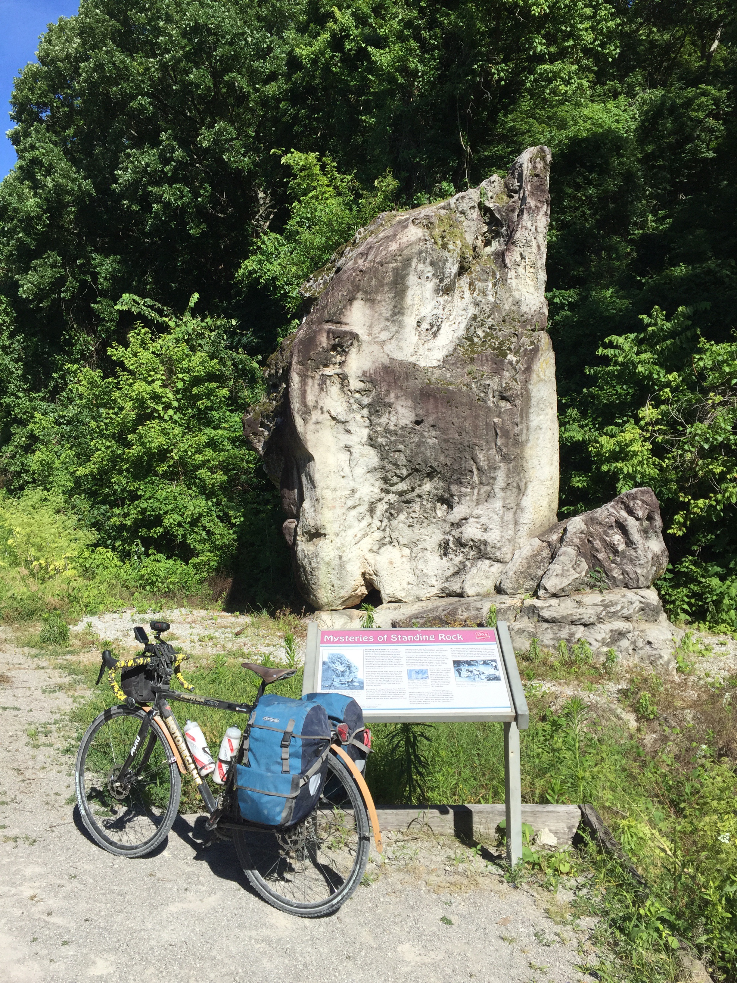
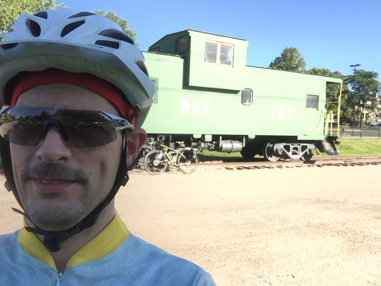
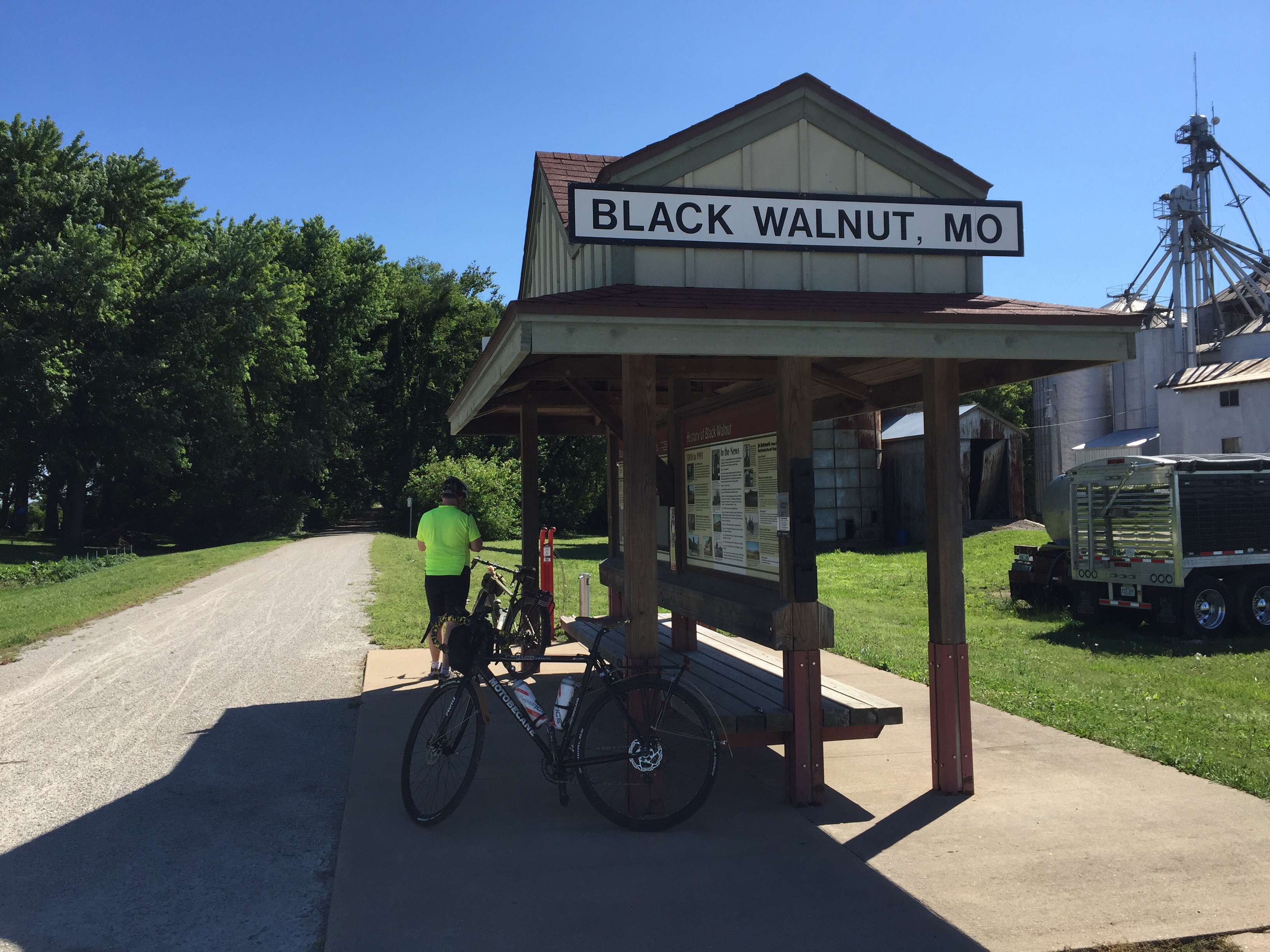
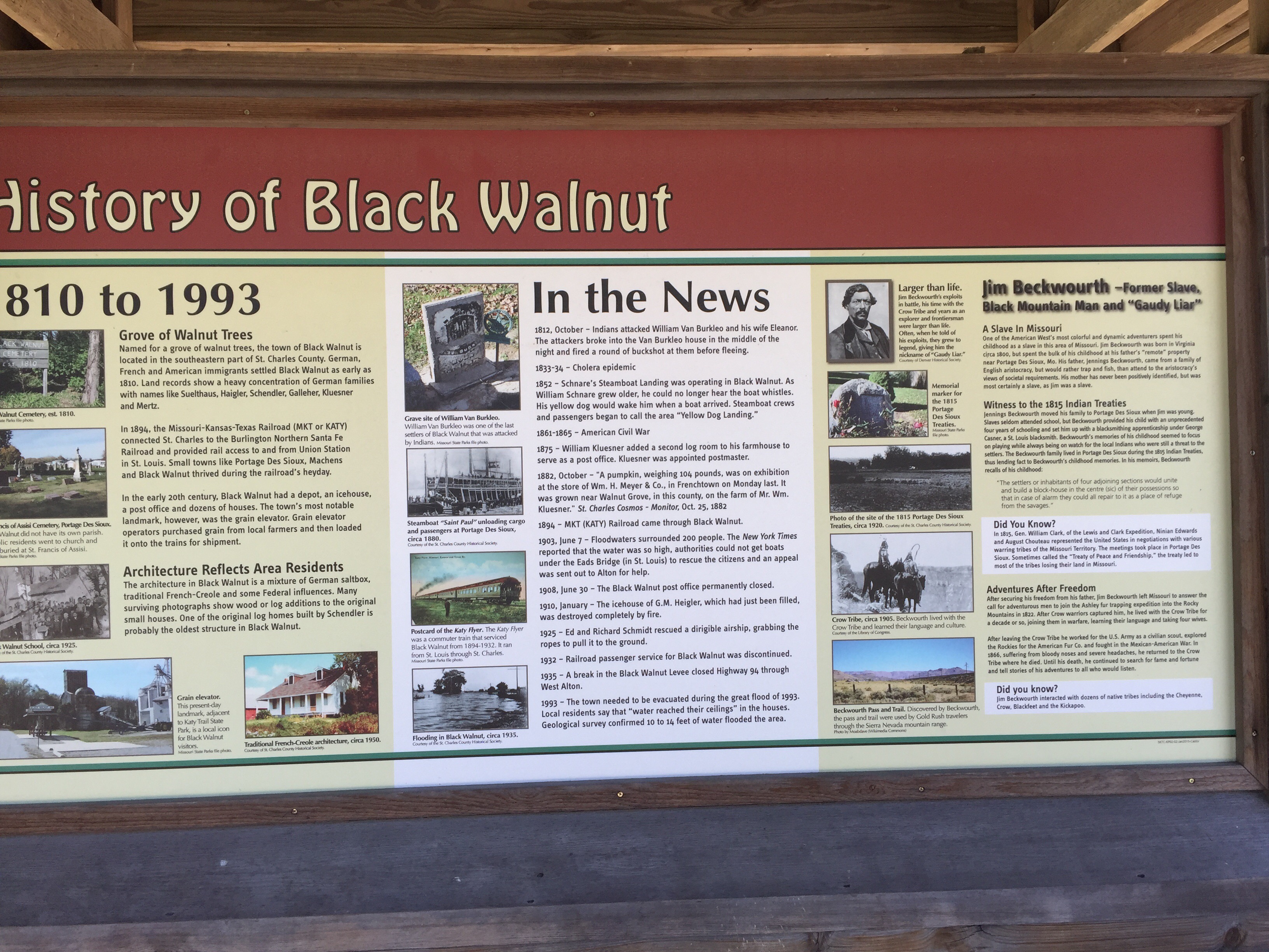
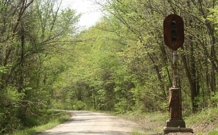
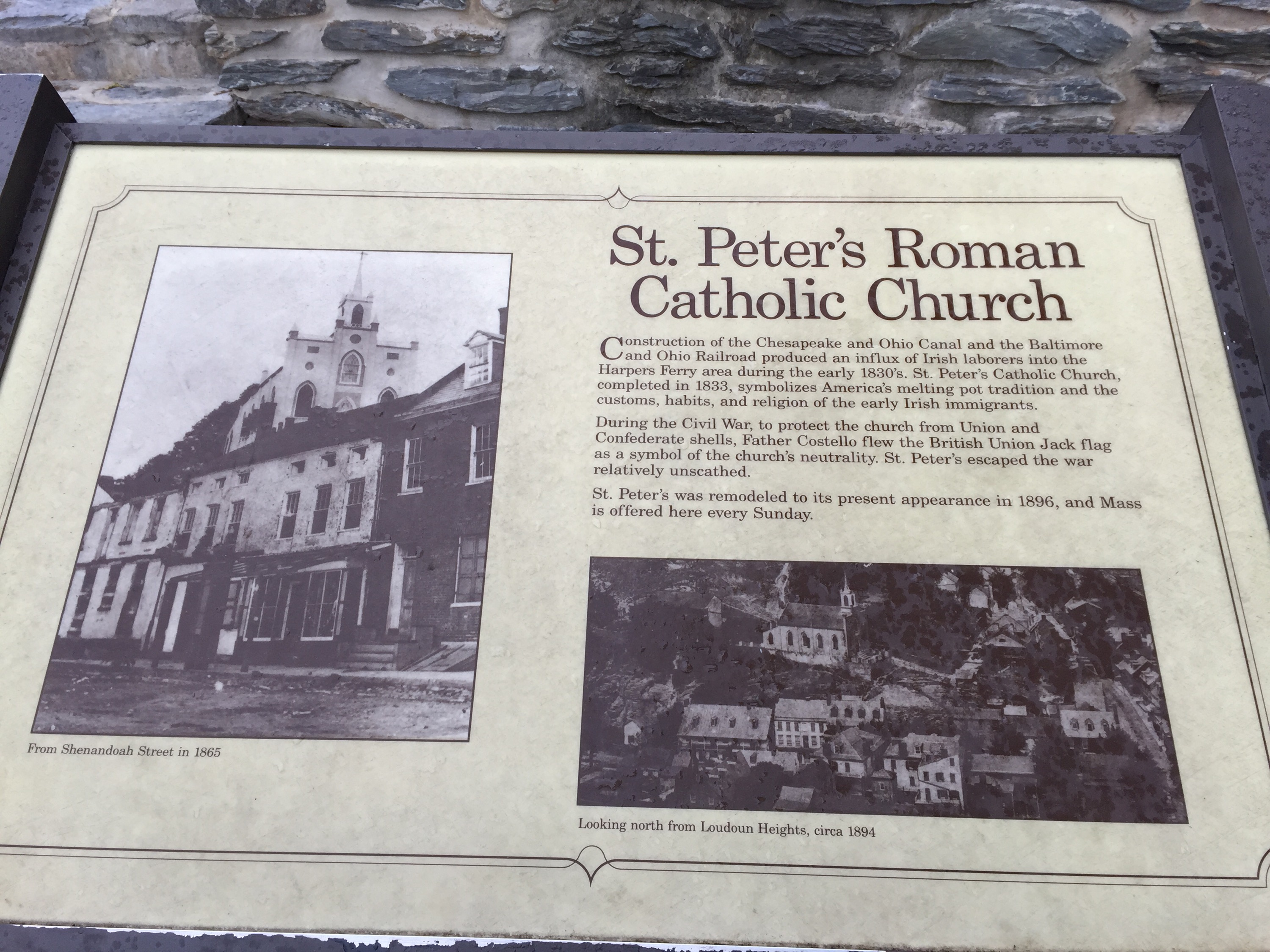
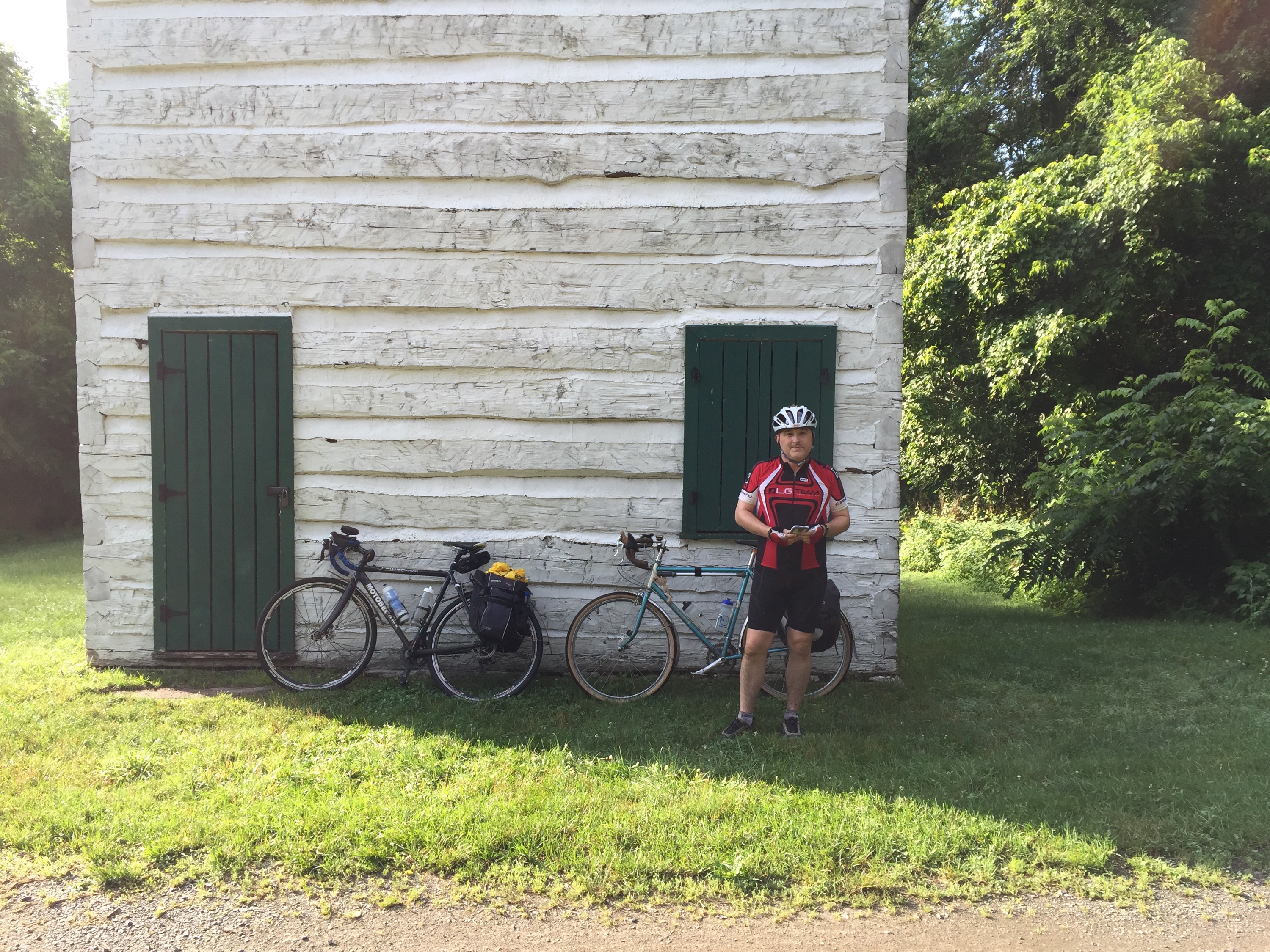
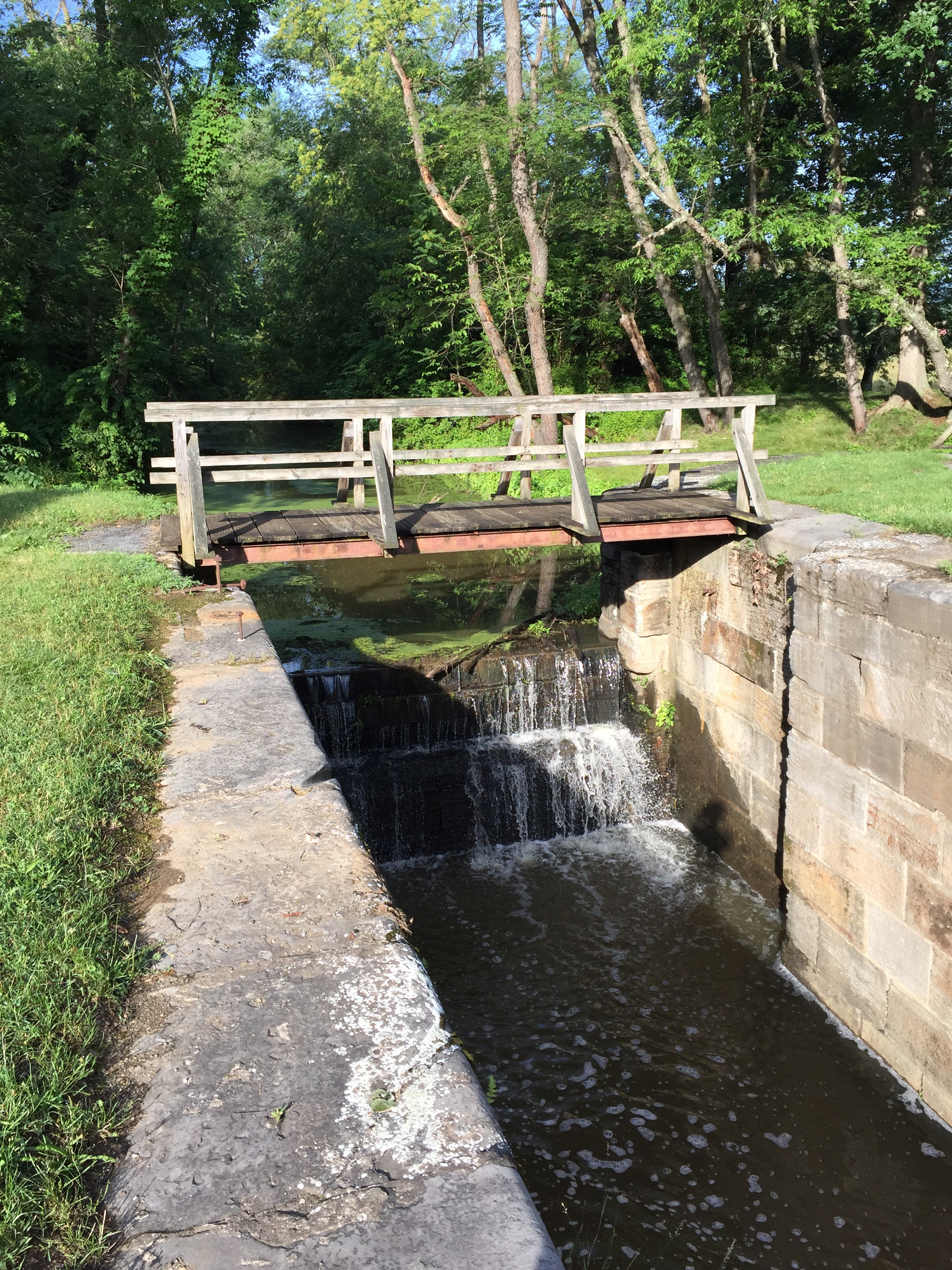
I didn’t see very many remnants of the railroad on the trail.  Very few fixtures from the past are still along the sides.  This is the only one I recall – I may have missed others.

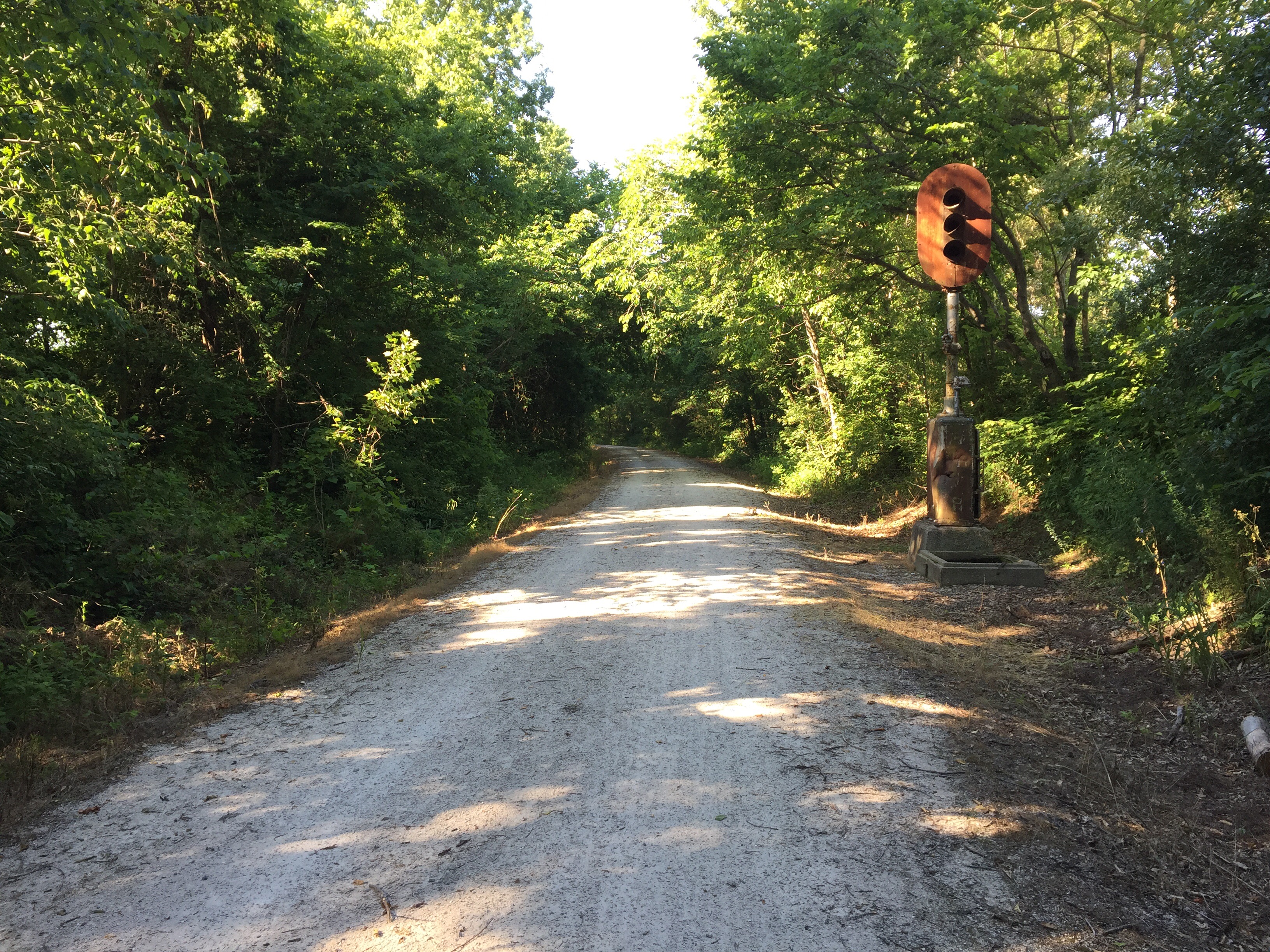
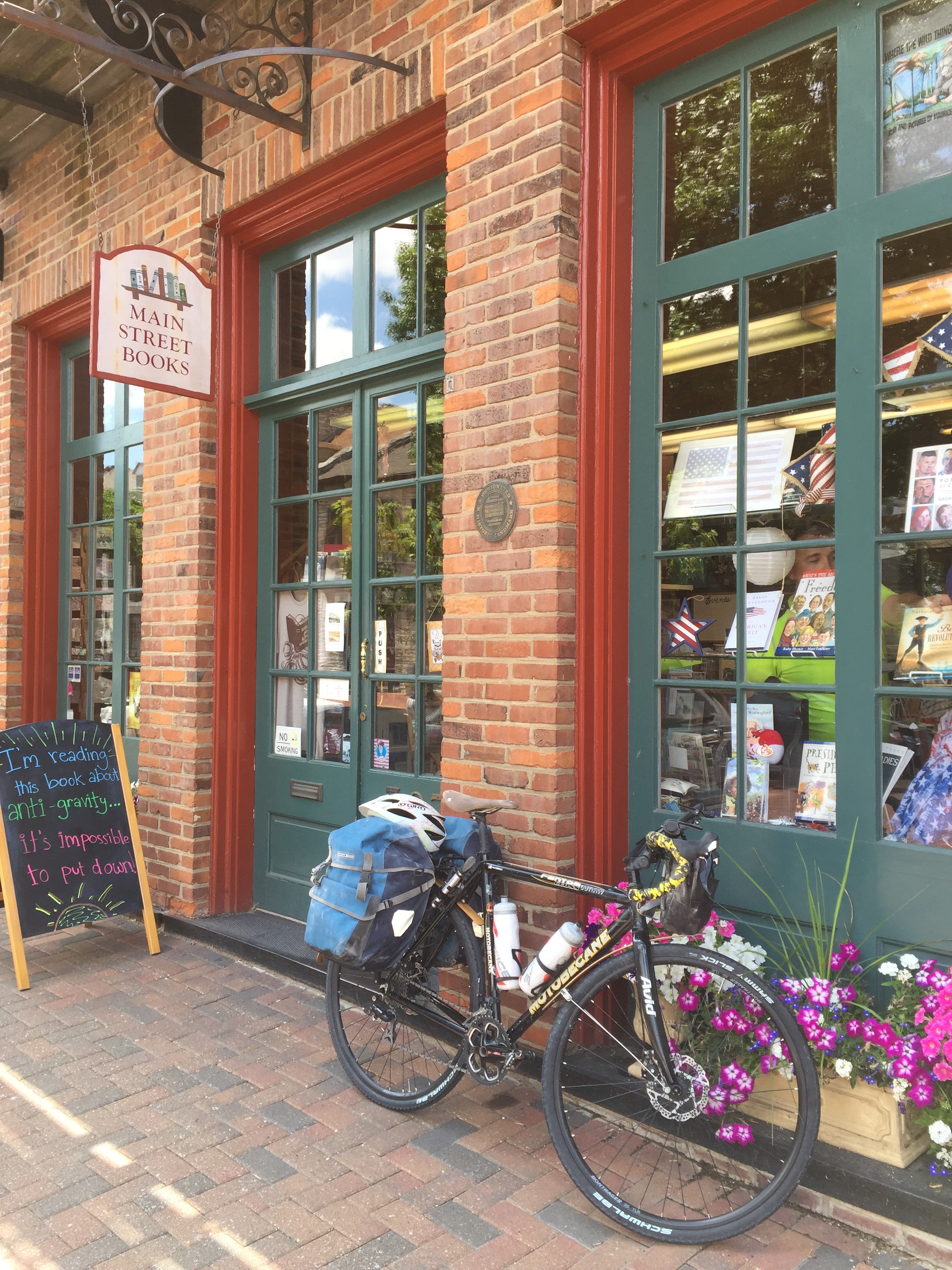
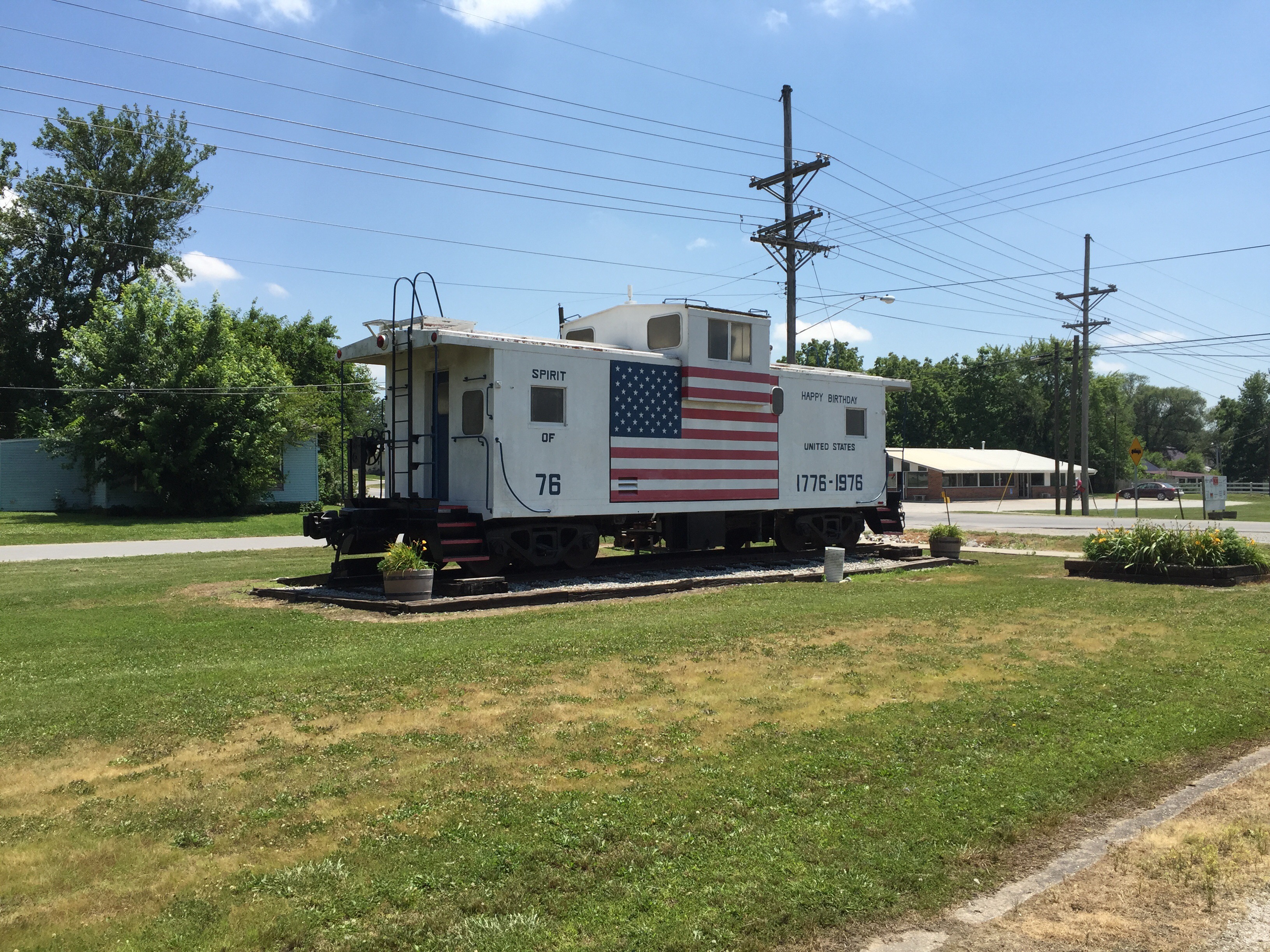
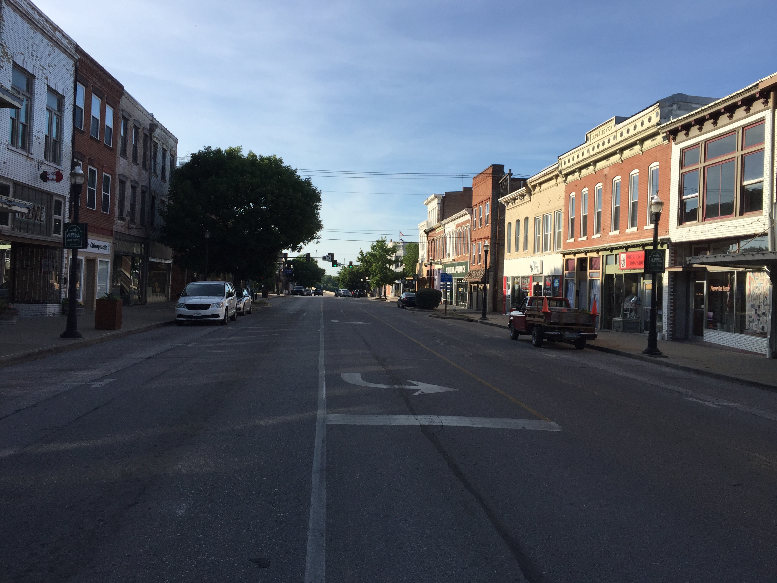
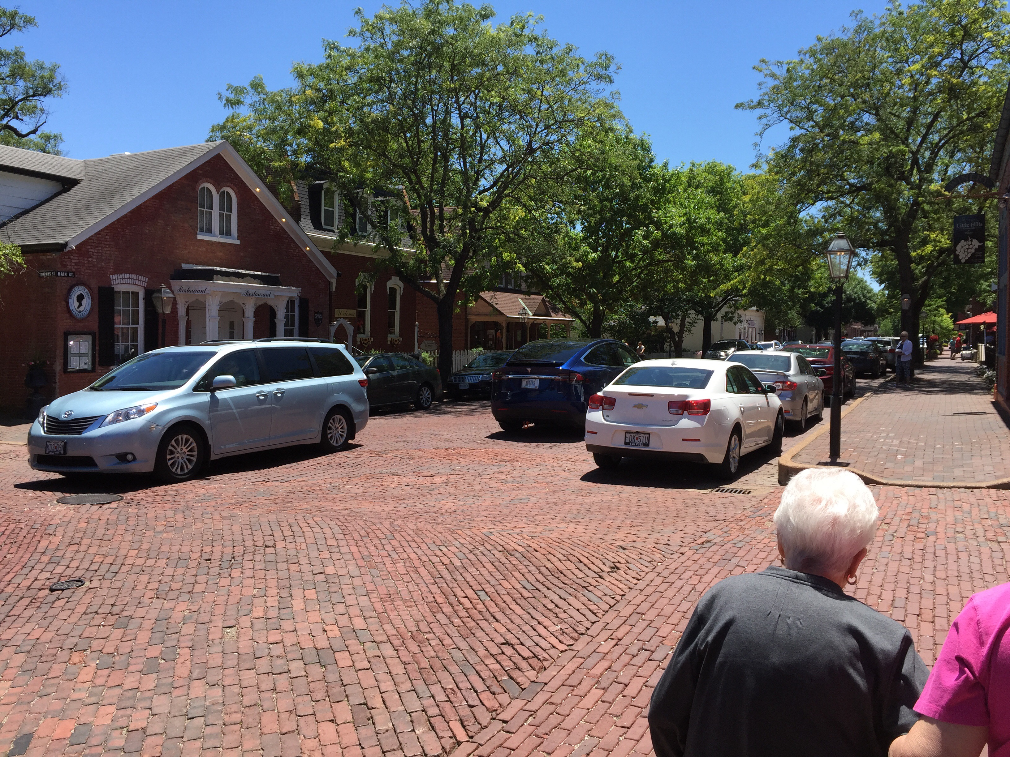
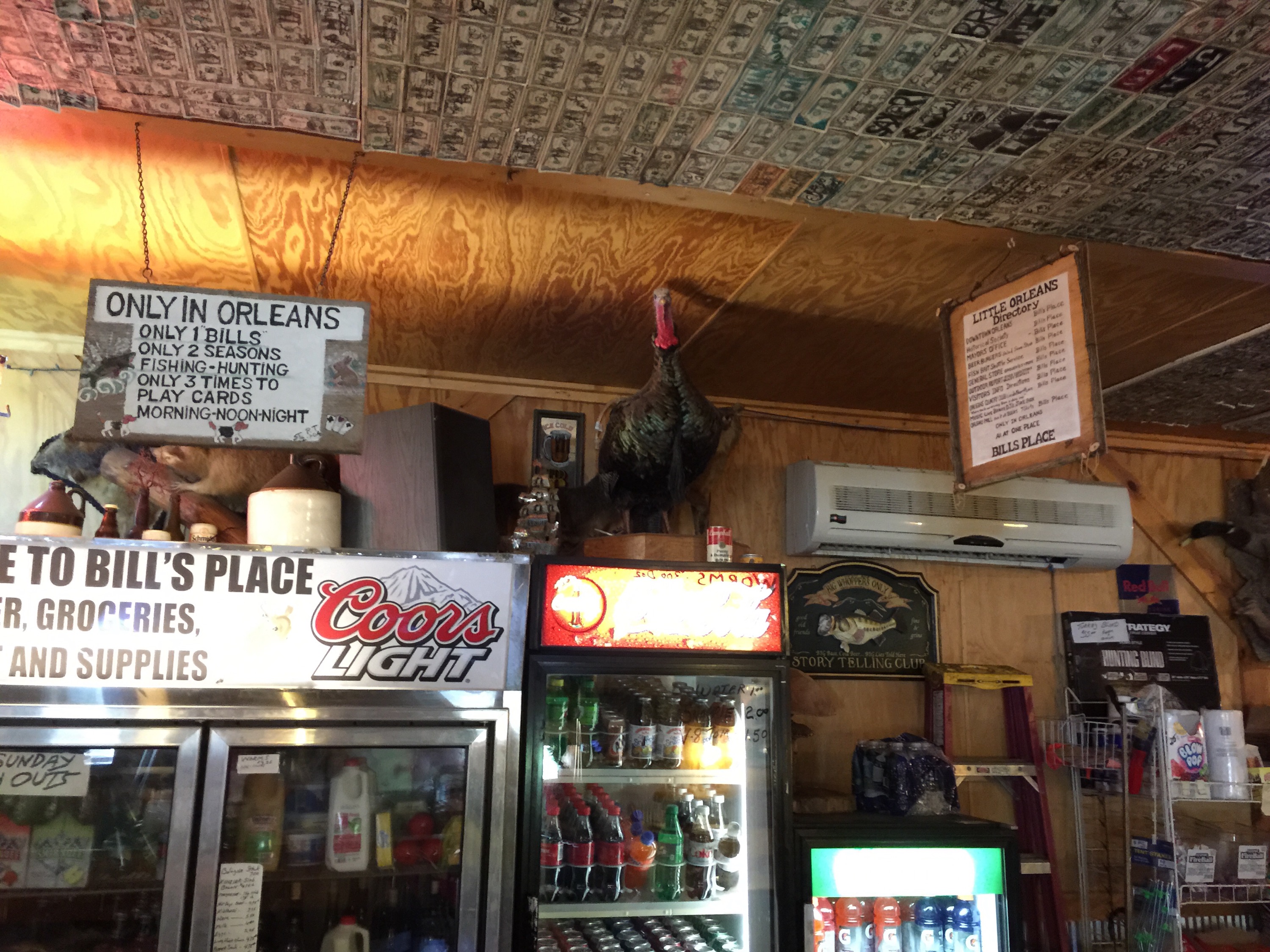
We didn’t really find very many places along the trail we would have liked to explore.  Certainly there were the bigger towns like St. Charles, Jefferson City, Hermann, Sedalia, Boonville, and Clinton.  But one thing Joe and I have enjoyed on other trails is the experience of going into smaller towns along the way and meeting the people there.  There is something quite beautiful about the culture of small town America.  Sadly, most of the little towns we passed through appeared to be closed up – storefronts all vacant and very few people to be seen anywhere.

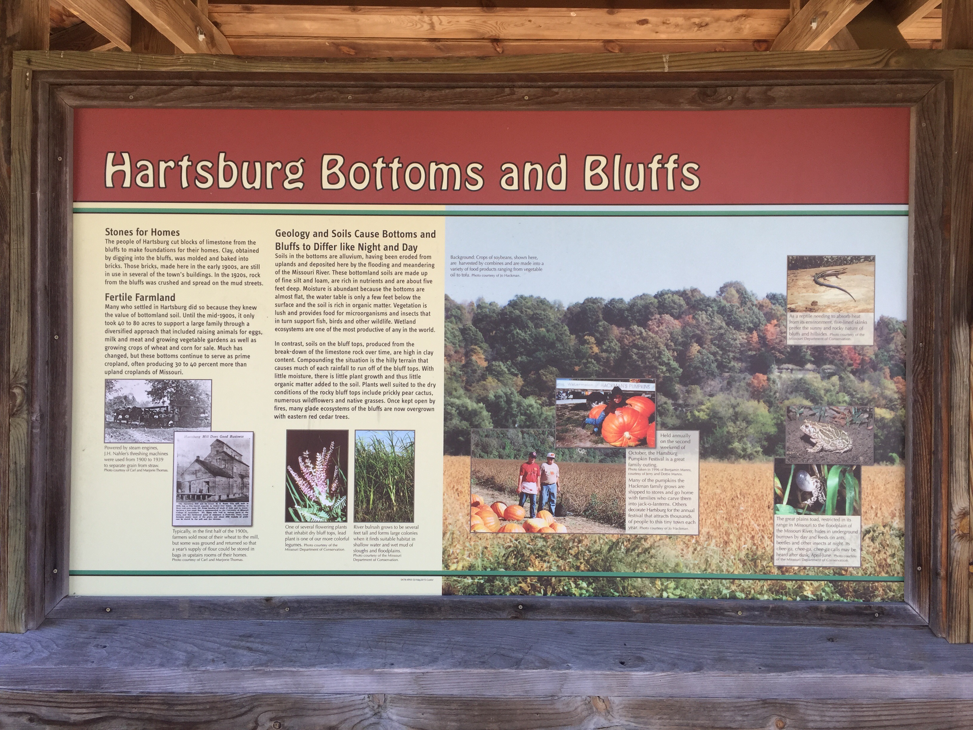
The one town I would like to go back to is Rocheport.  The area near Rocheport has amazing bluffs next to the trail.  The town itself is well maintained, with many nicely restored older homes.  Sadly, I didn’t get any good pictures of the town to share.

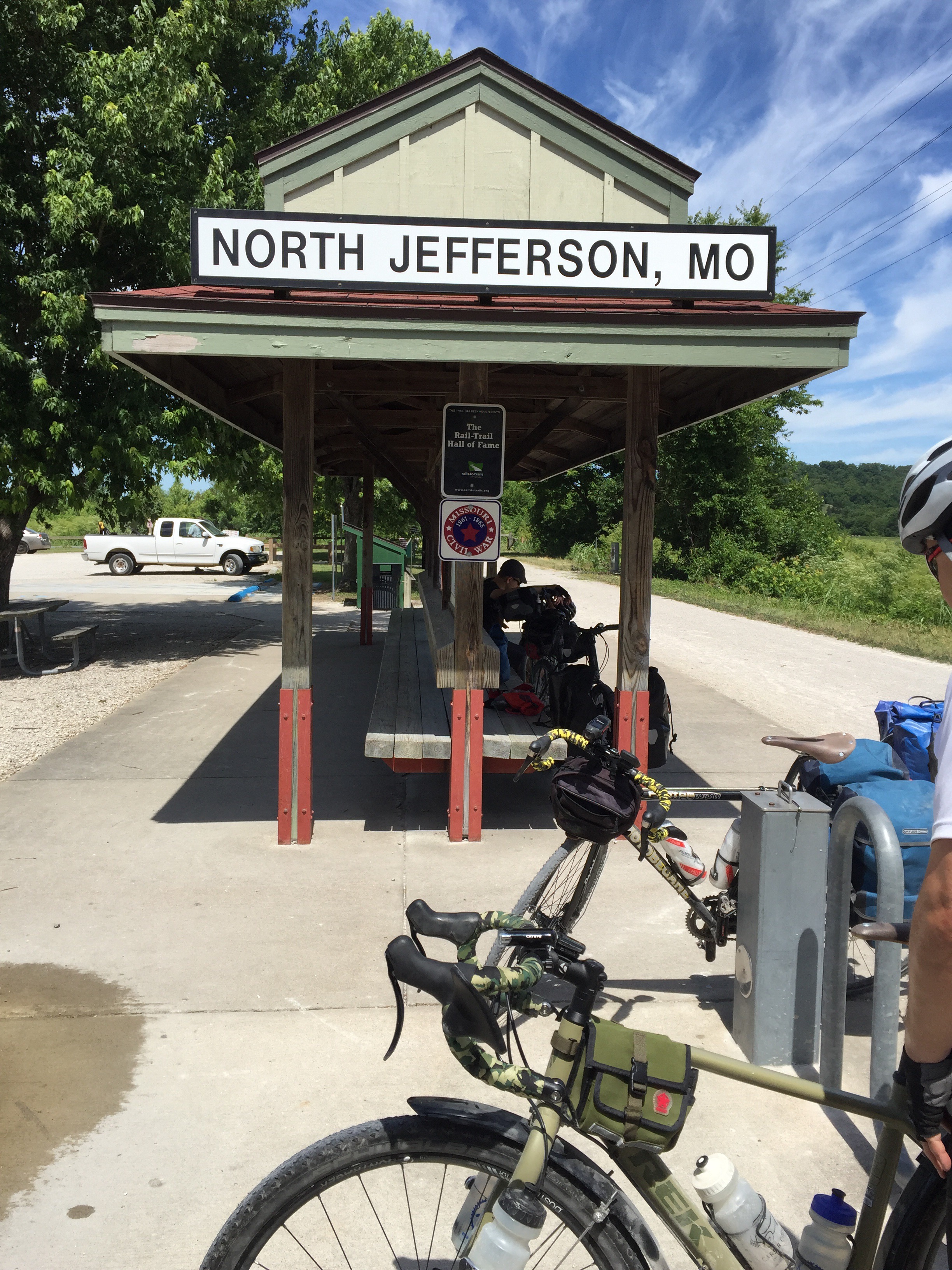
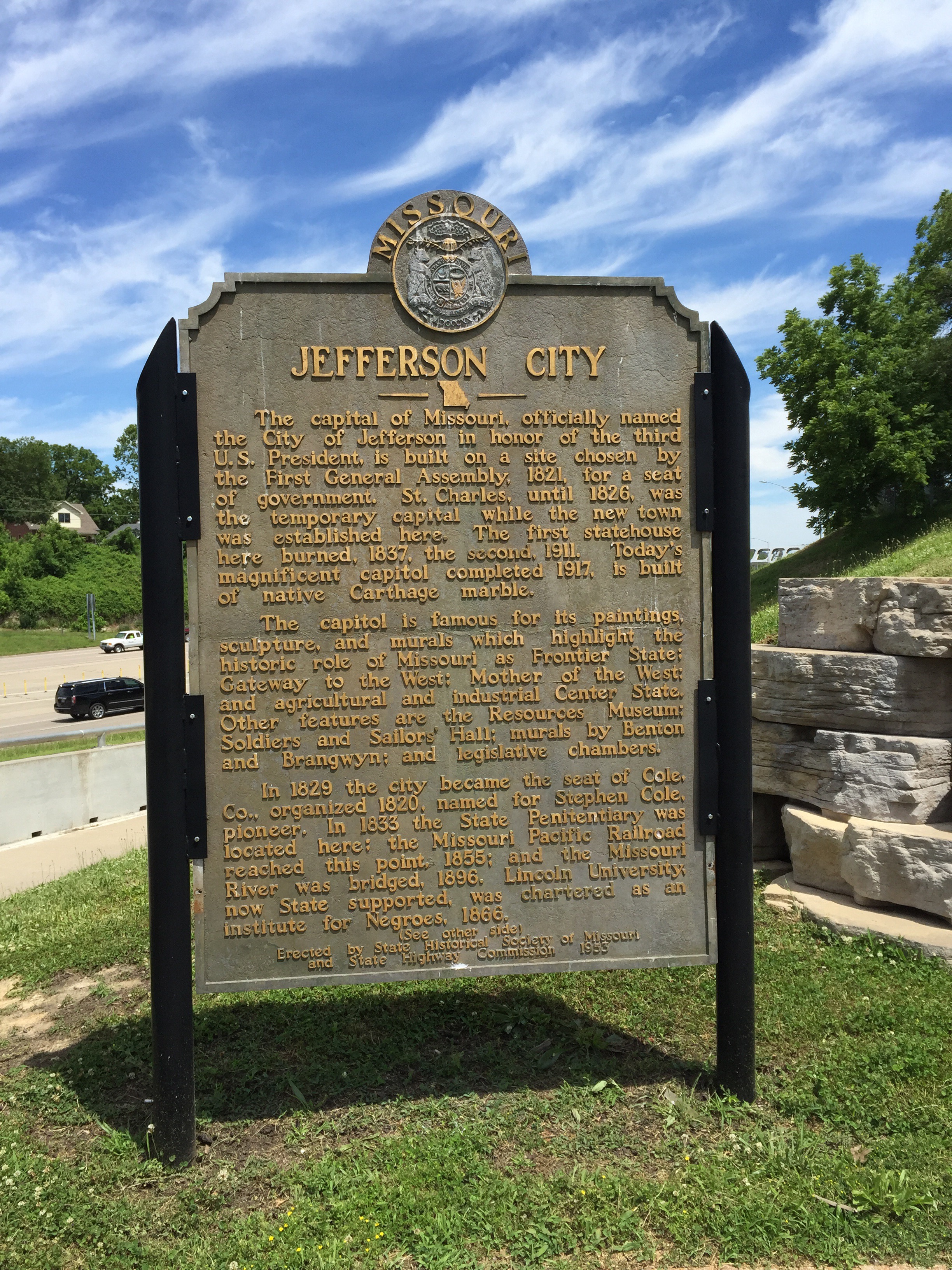
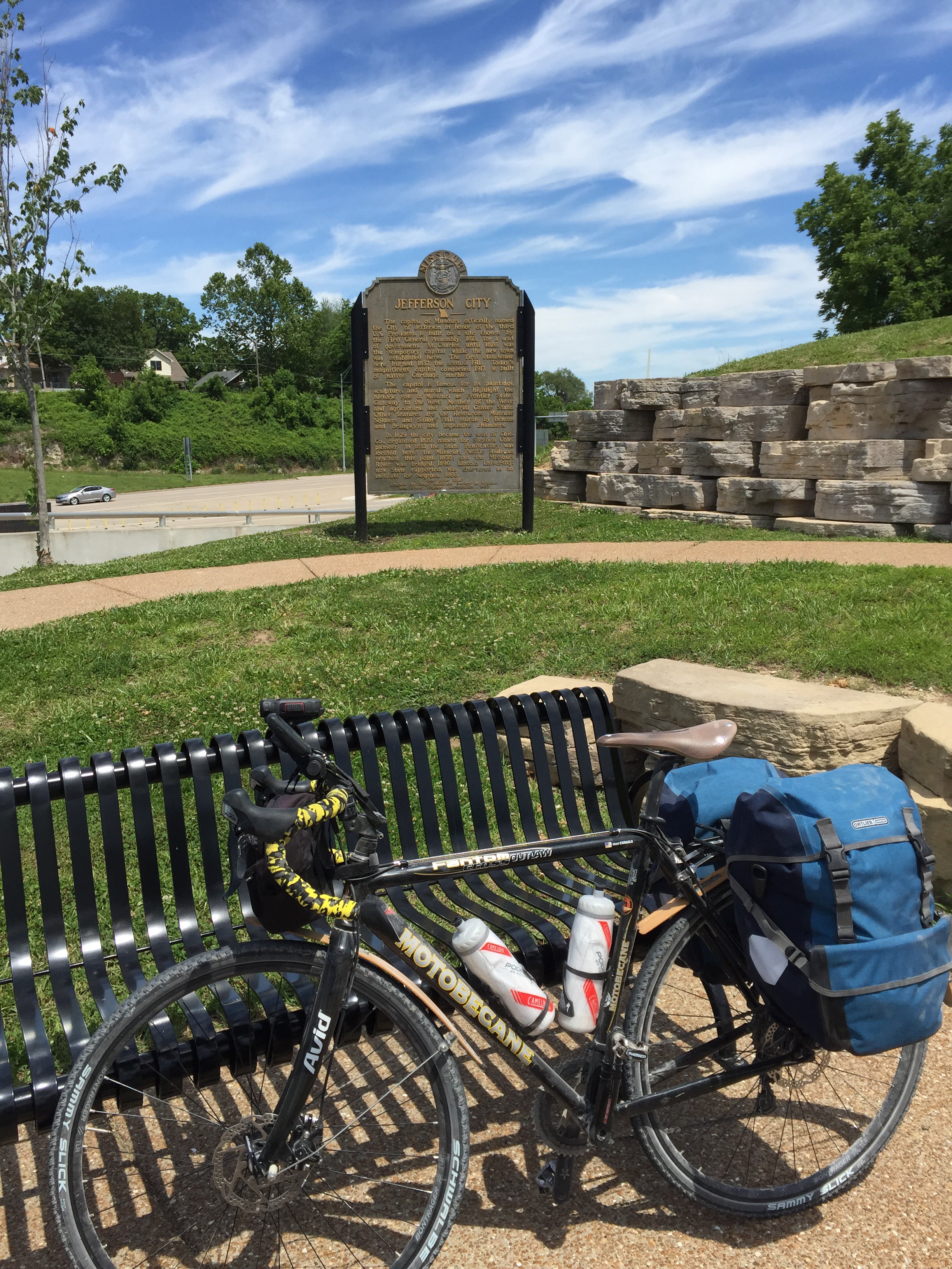
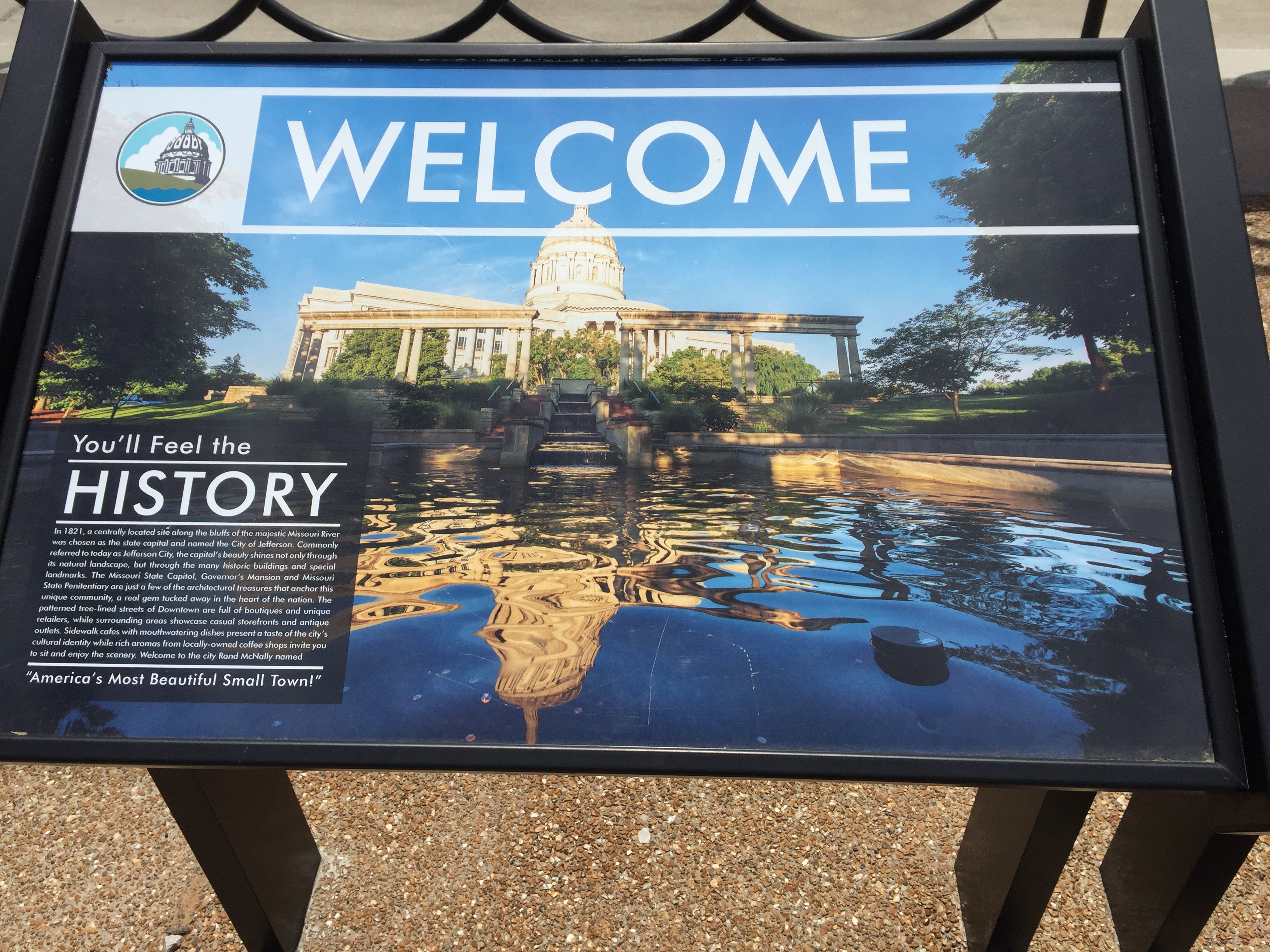
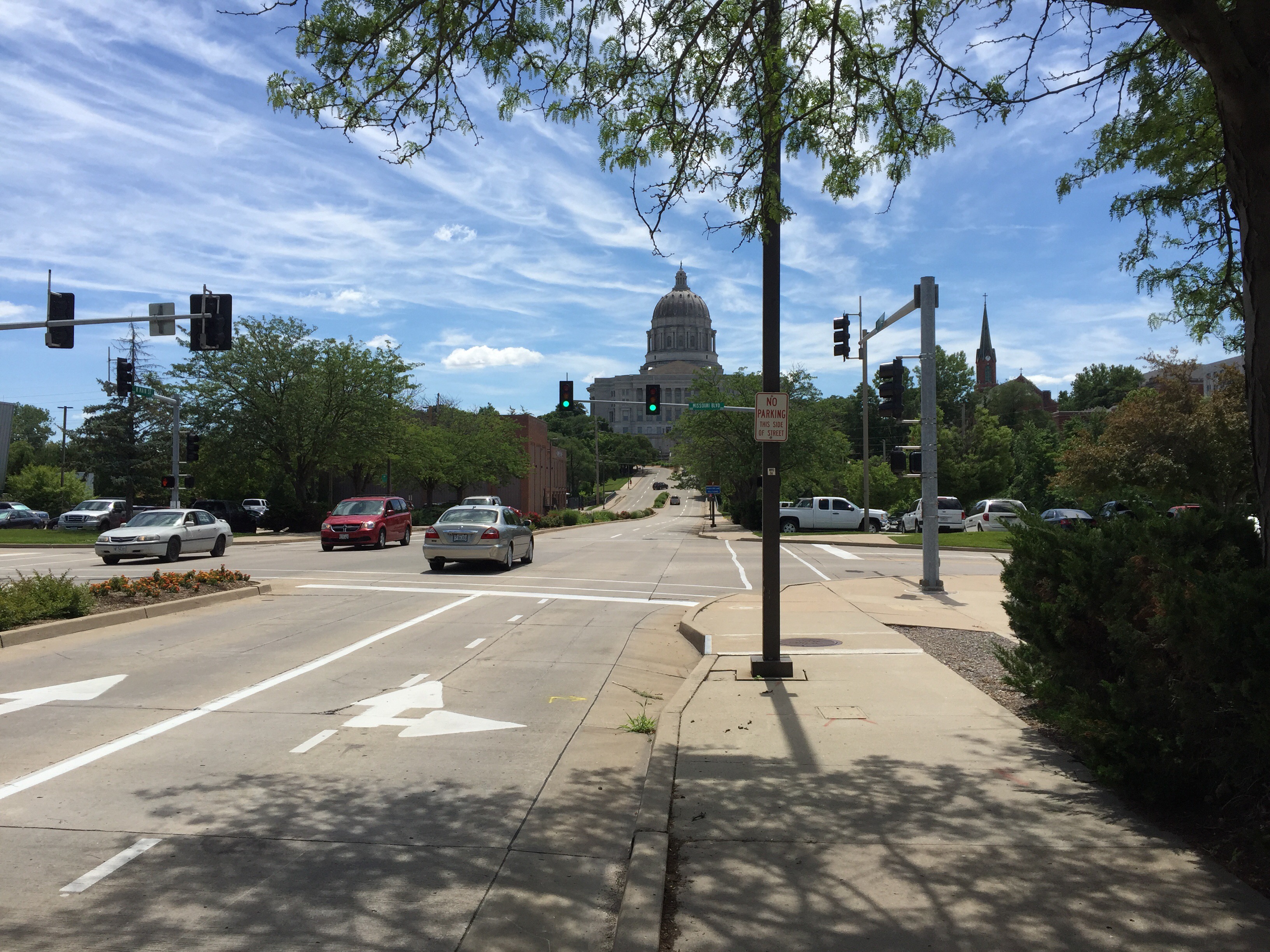
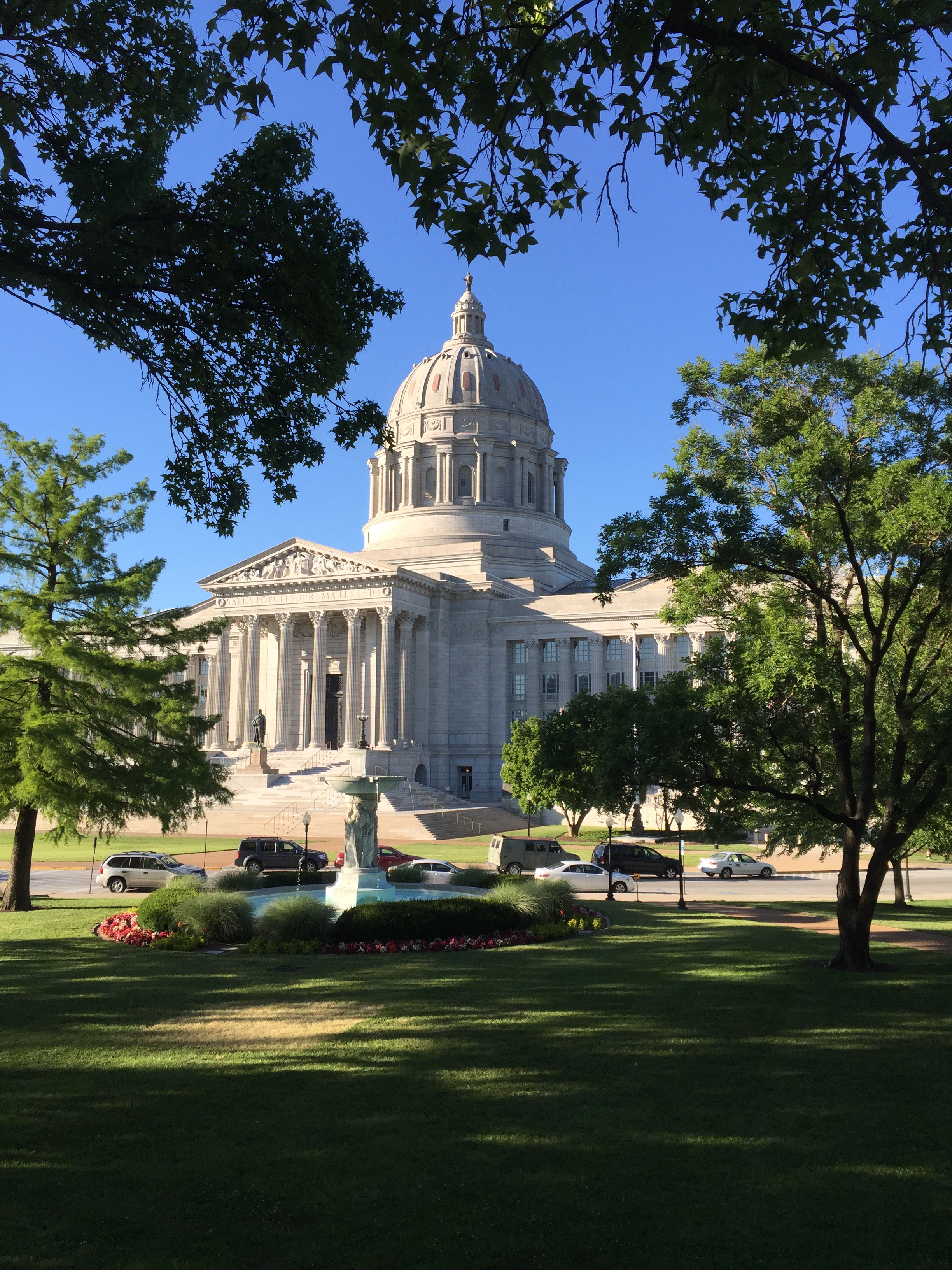
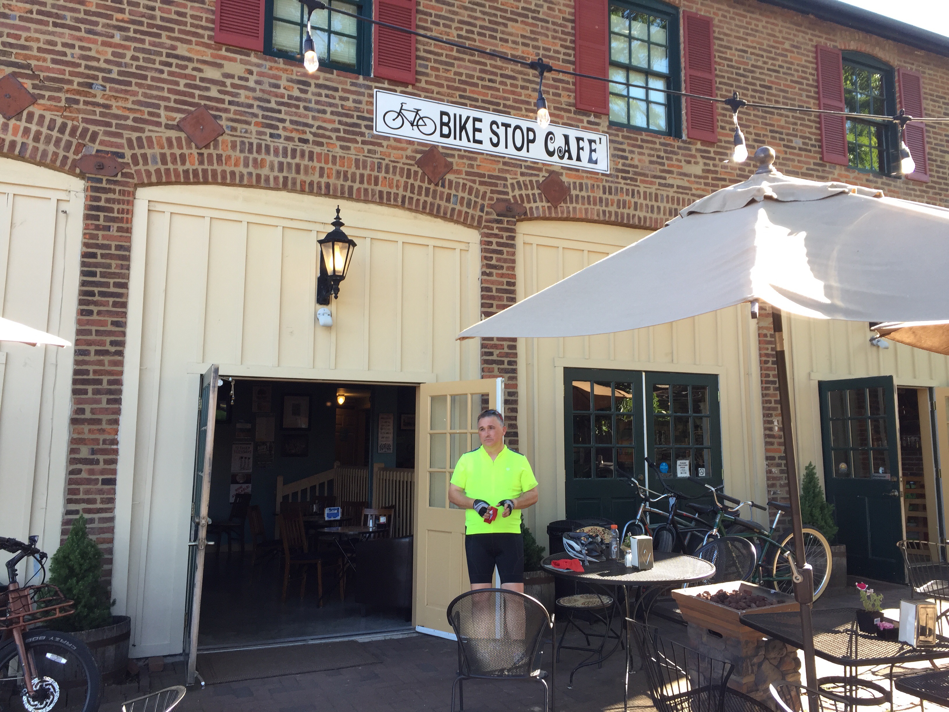
Jefferson City (aka “Jeff City”) was a very developed town, as you would probably have assumed.  Since it is the state capitol, there is a decent economy, lots of restaurants, three bike shops, and so on.  If you’re going to ride the Katy, I recommend an over-night in Jeff City.


Overall, the trail did provide some really nice scenery, and it was really nice to get away from busy roads.

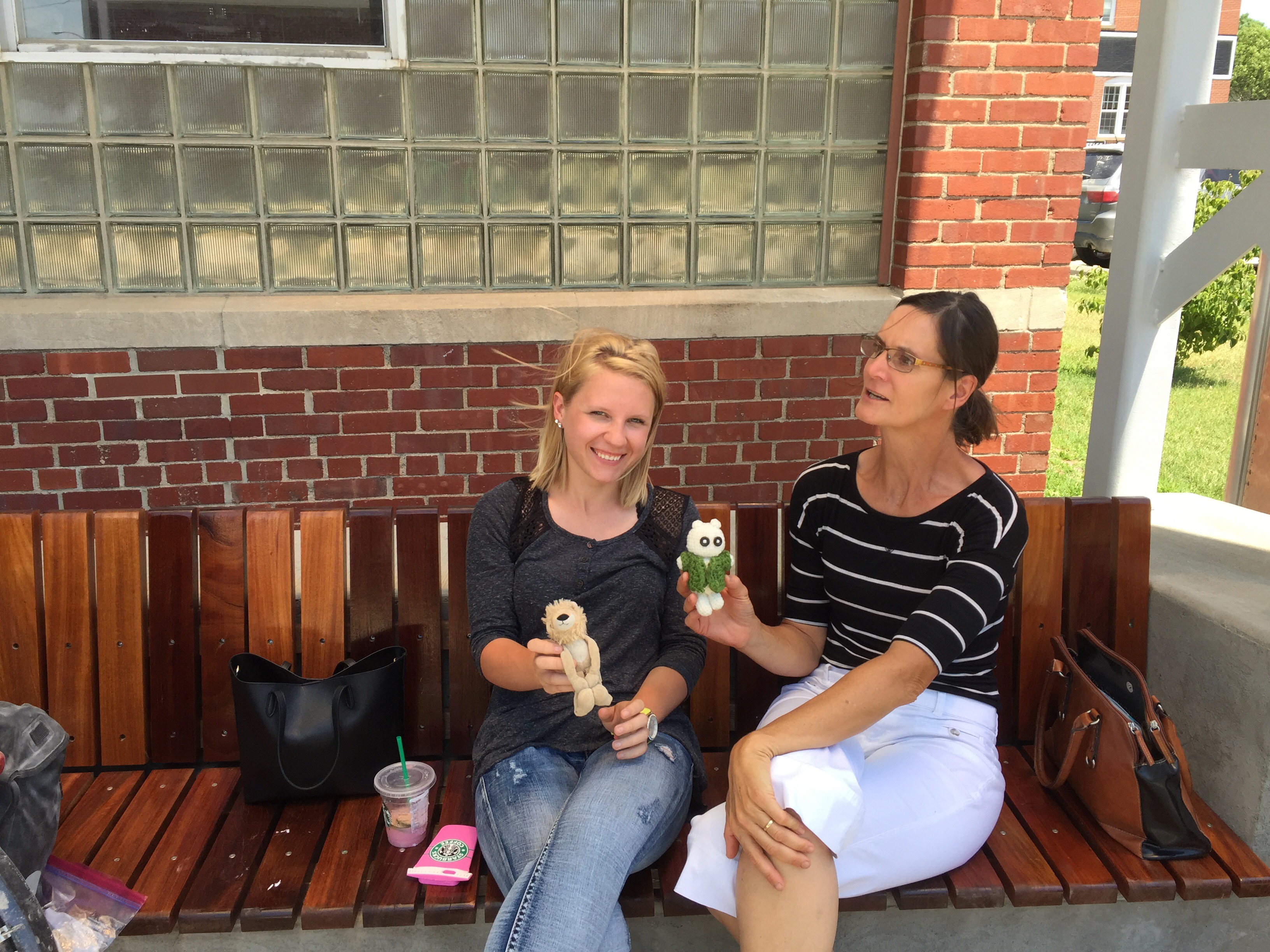
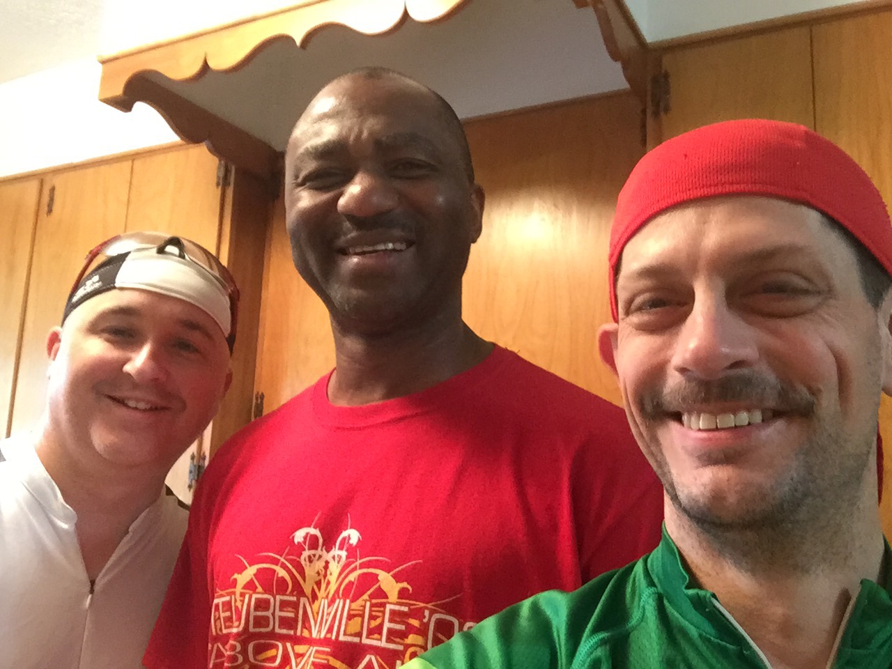
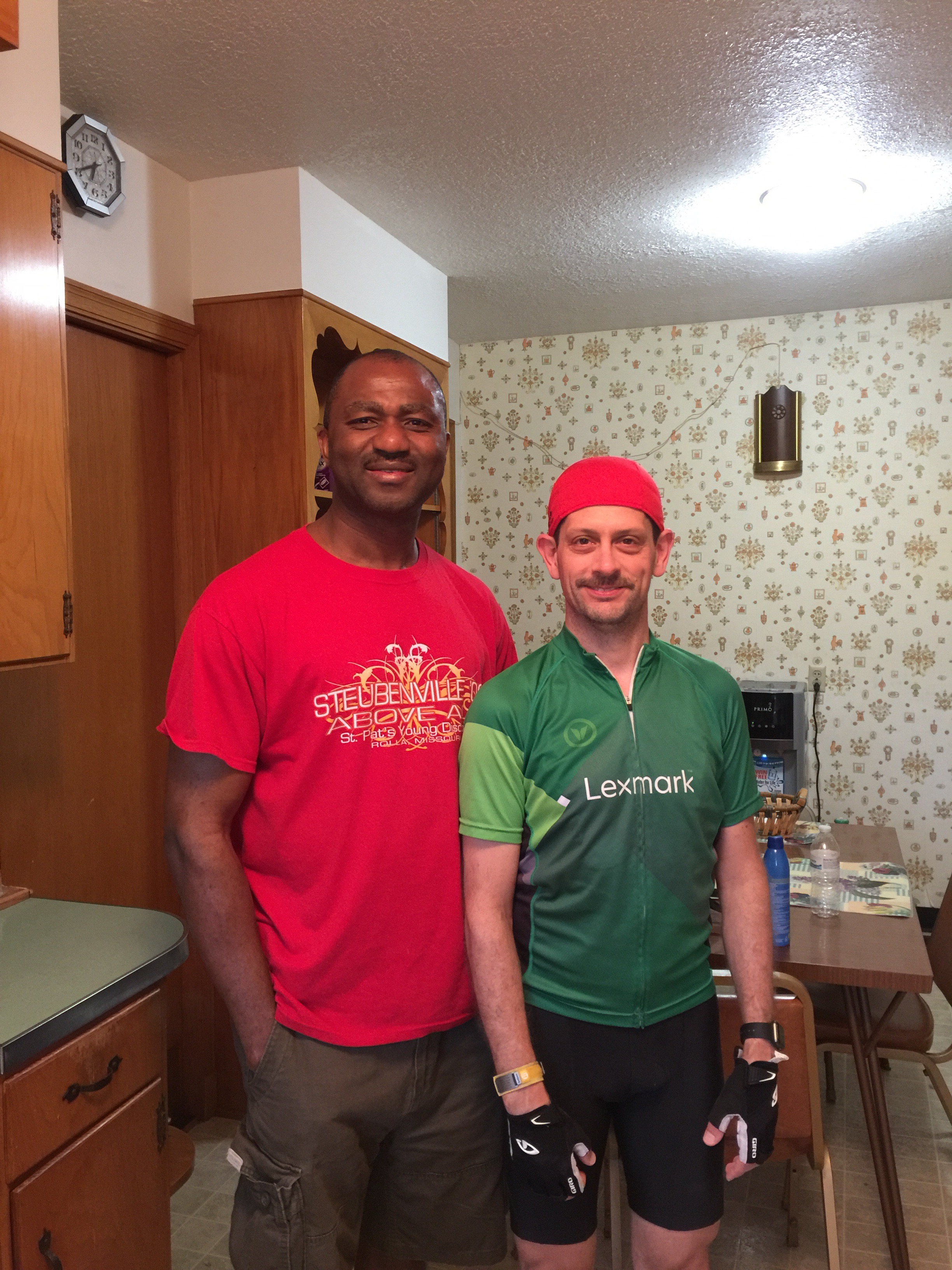
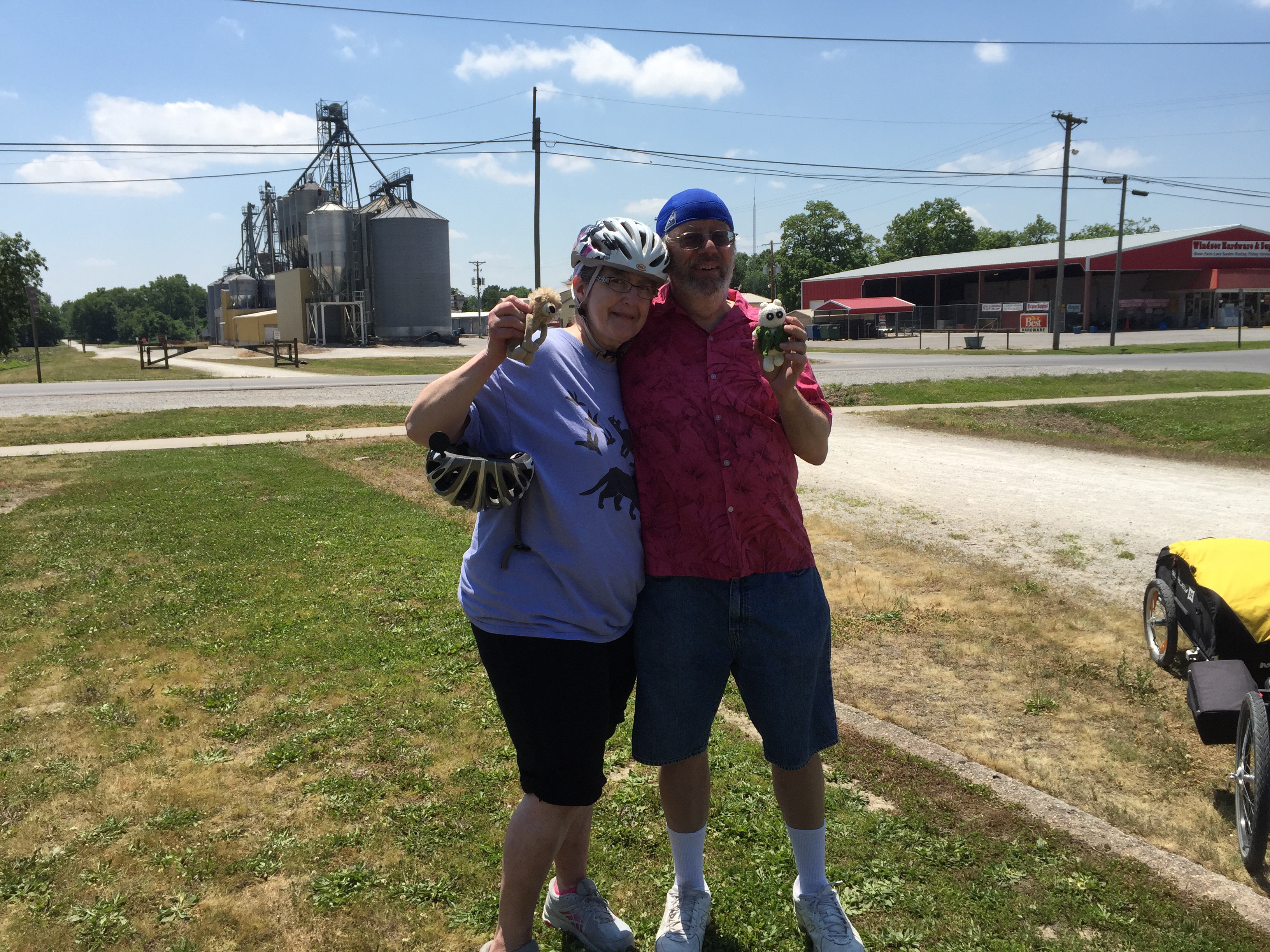
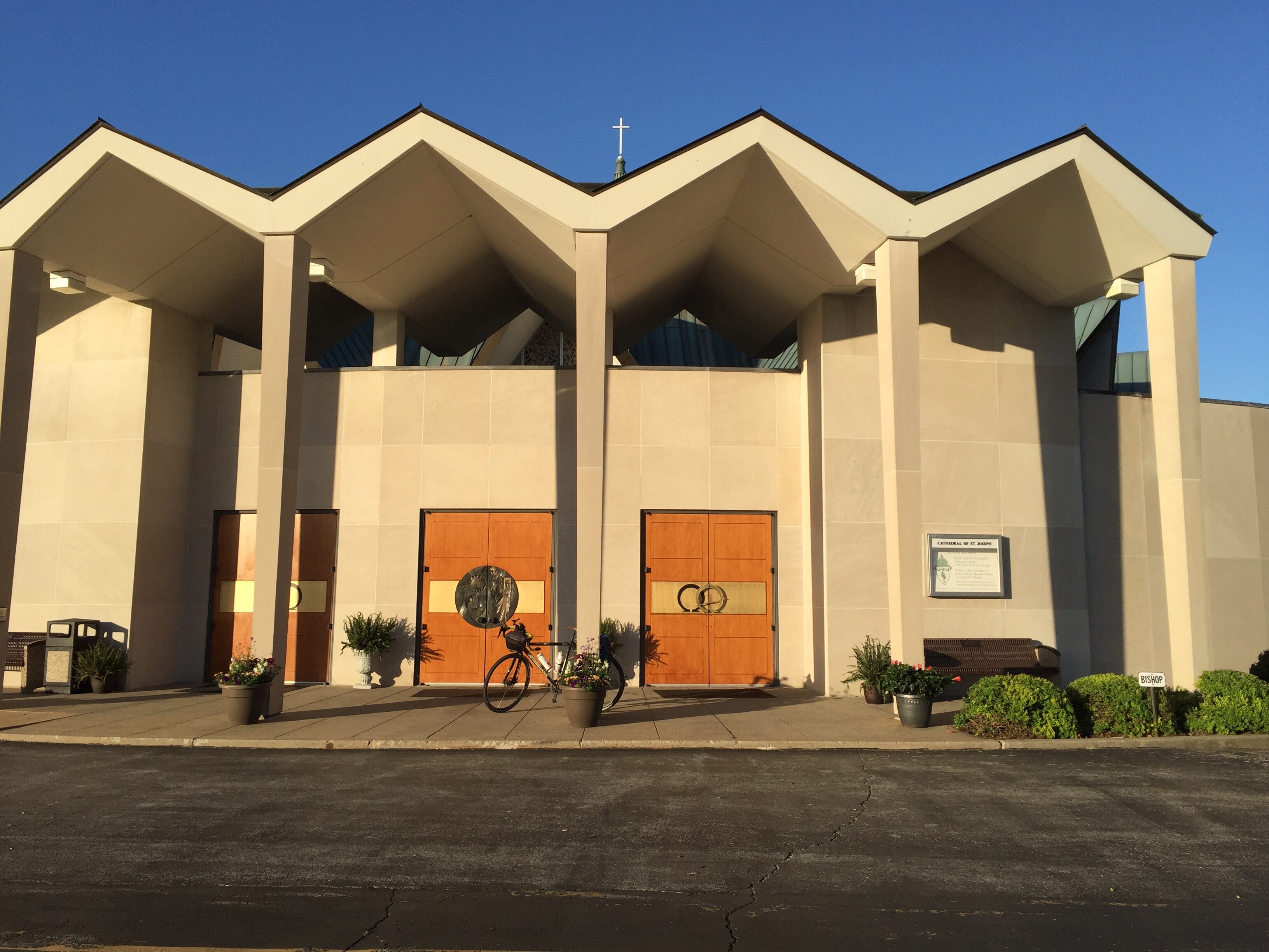
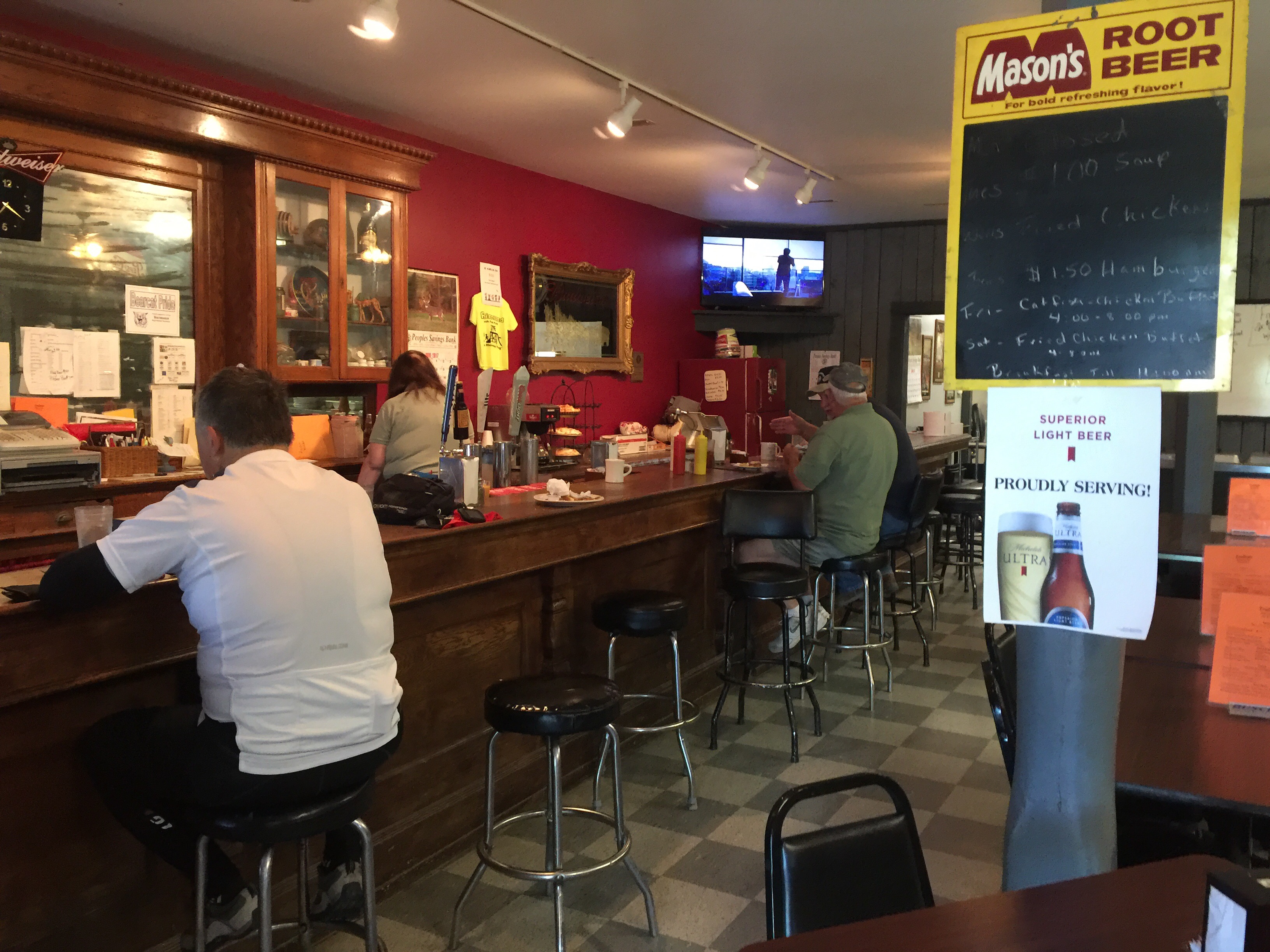
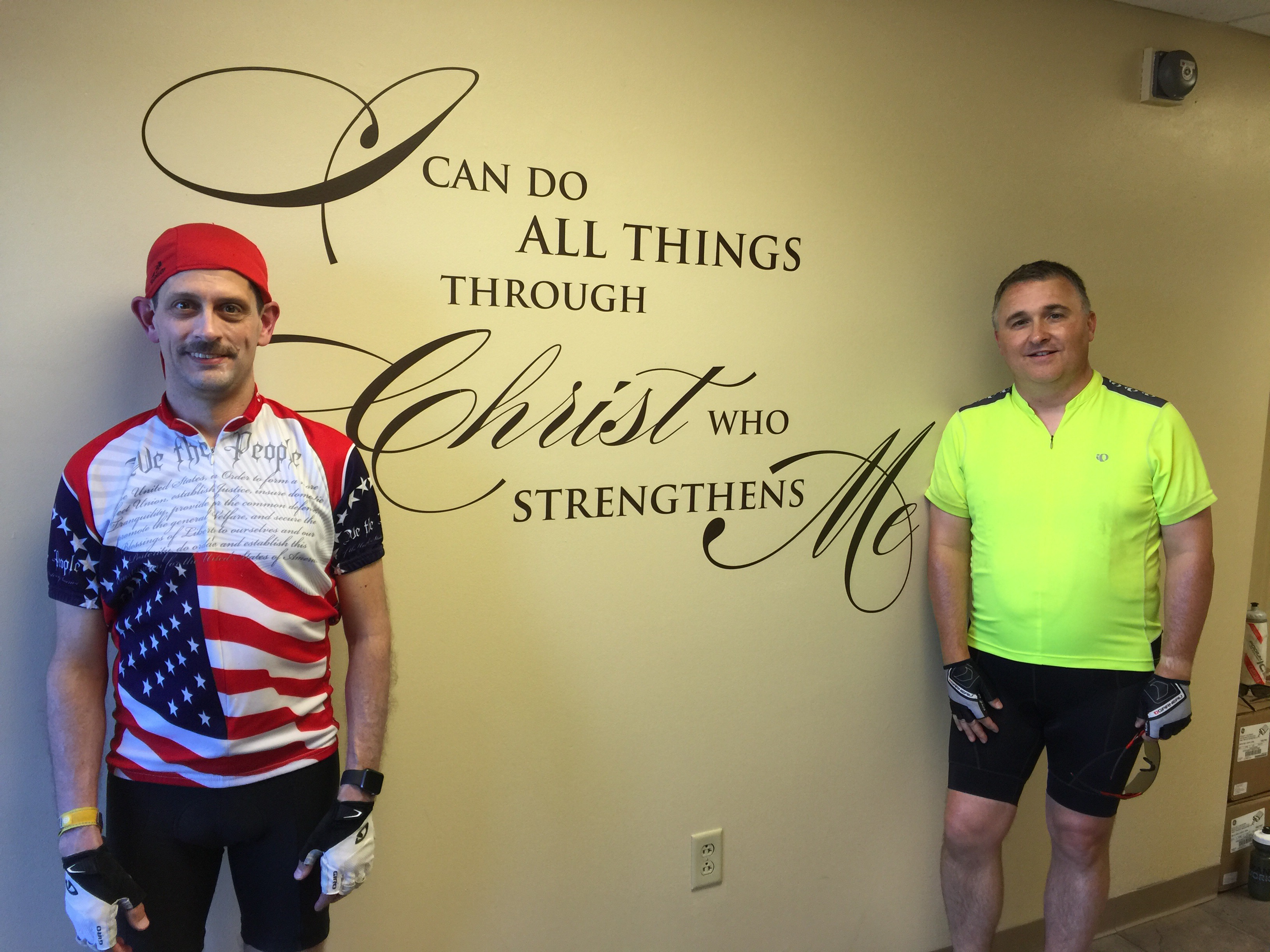
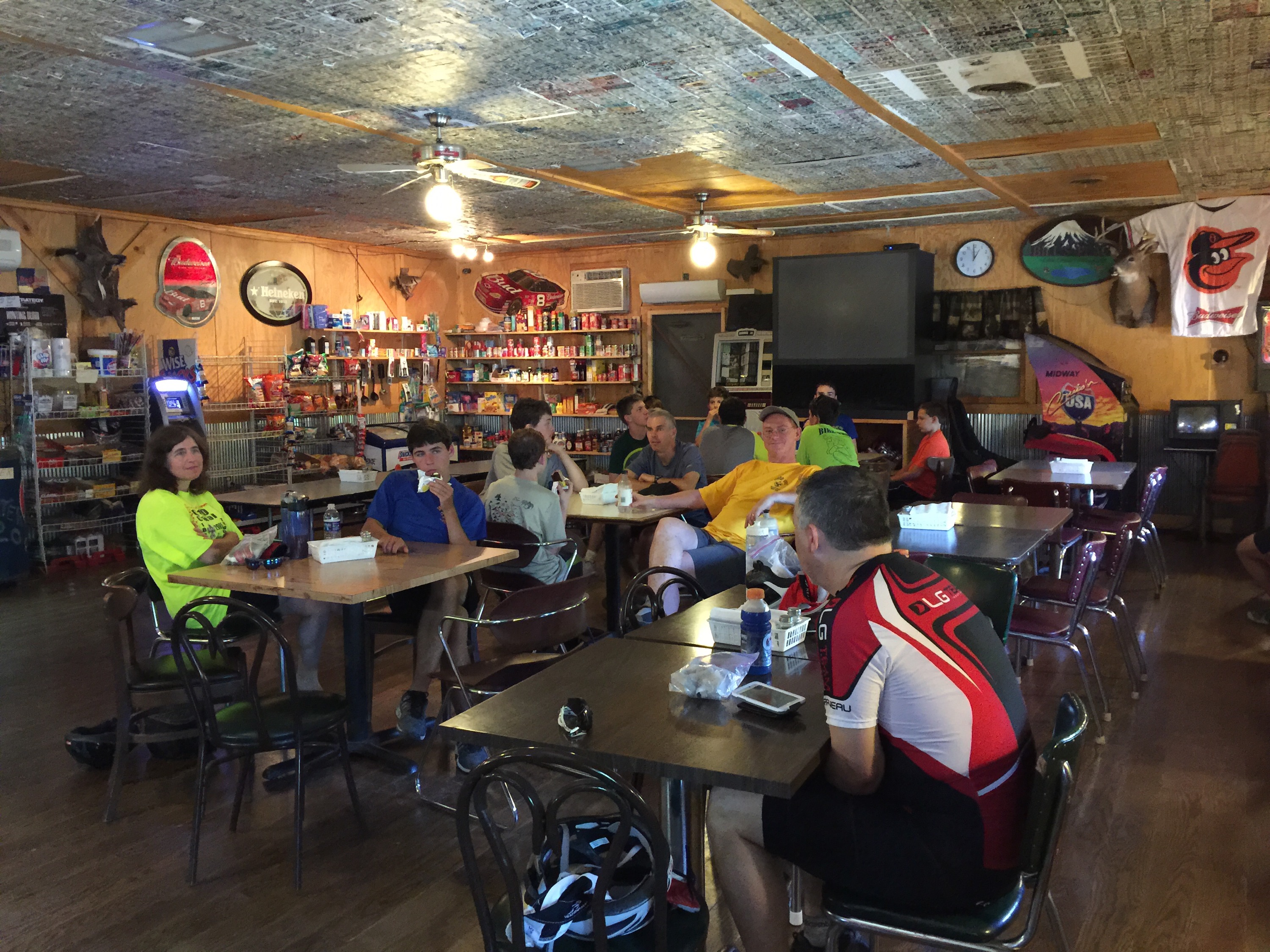
As usual, however, it is the many people we meet along the way that really makes bike touring so memorable.  So many people took such good care of us.  Before this trip, we knew none of them.  For the most part, we just called them a few weeks ago and asked if they’d help us find a place to rest – and remarkably, we were able to find housing at every stop.  At every stop, no exceptions, we found friendly people who went out of their way to get to know us and help us out.  We shared meals, prayer time, and stories with total strangers, and by the end of our short visits, we have new friends.

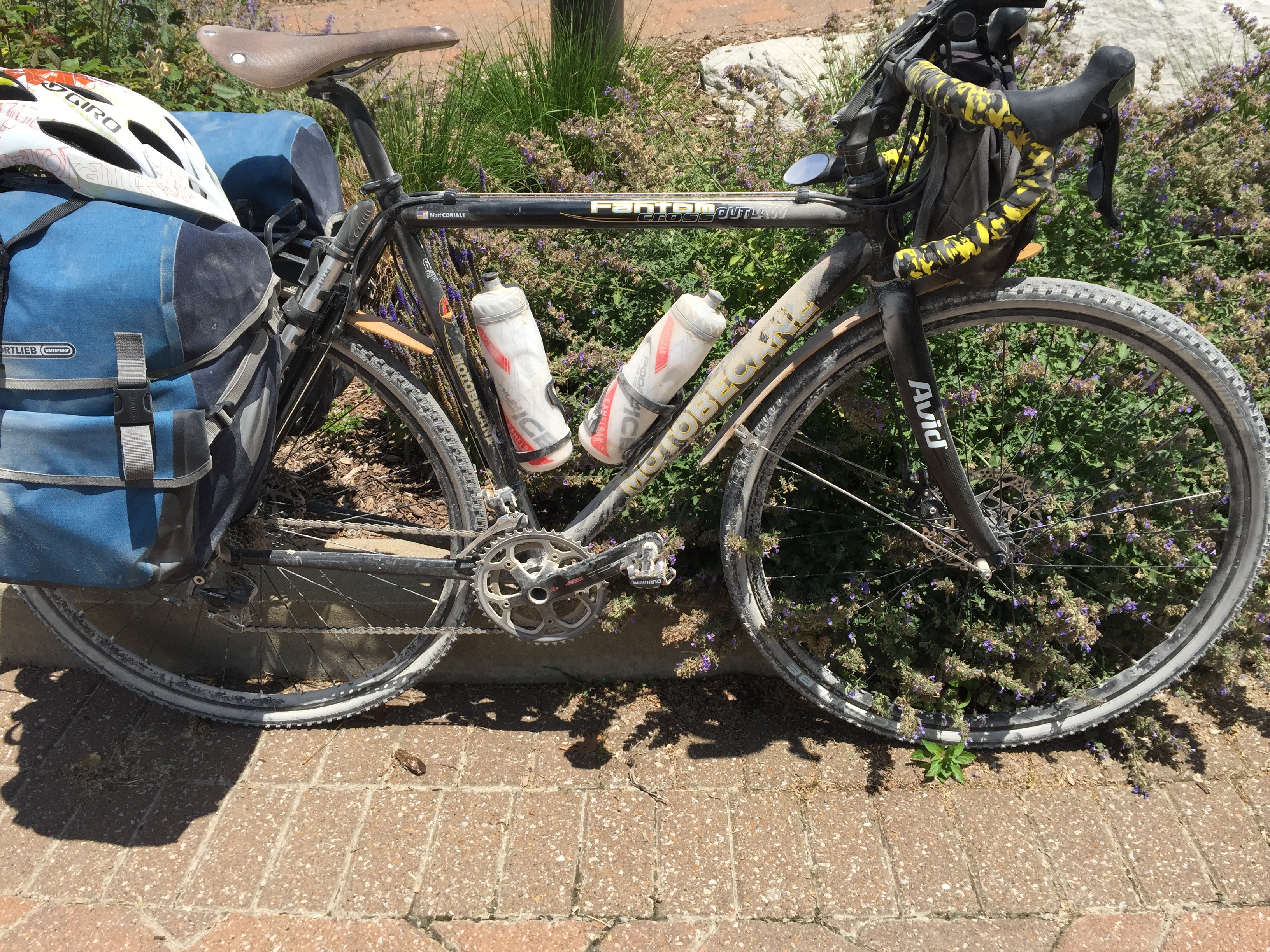
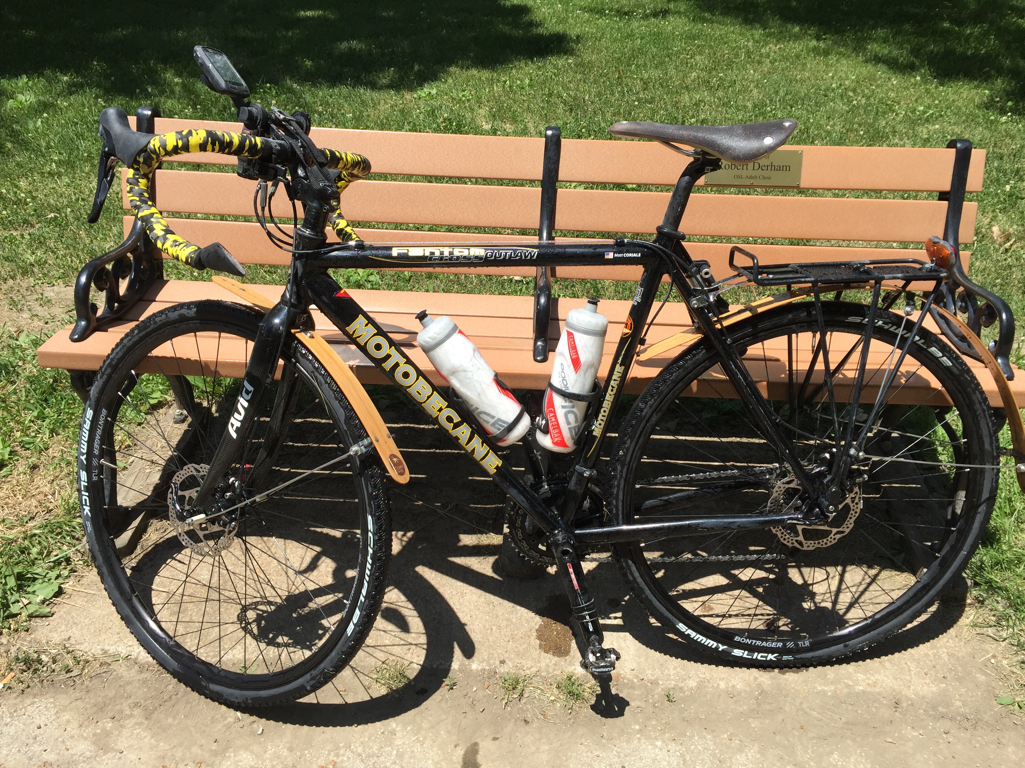
We certainly had our share of challenges along the way.  Joe had a series of flats, most probably caused by having lighter-weight tires.  I had one flat as well, caused by a very sharp pebble on the path.  Then there was the heat, very strong and continuous headwinds from Sedalia to Clinton, and one day for each of us where our bodies just didn’t feel up to the challenge.  But Joe and I helped each other through,  My advice: be well prepared for basic repairs and carry a couple of extra tubes.  It’s much better to be putting your tube patches on in the evening after the ride than taking the time out in the hot sun to set a patch.

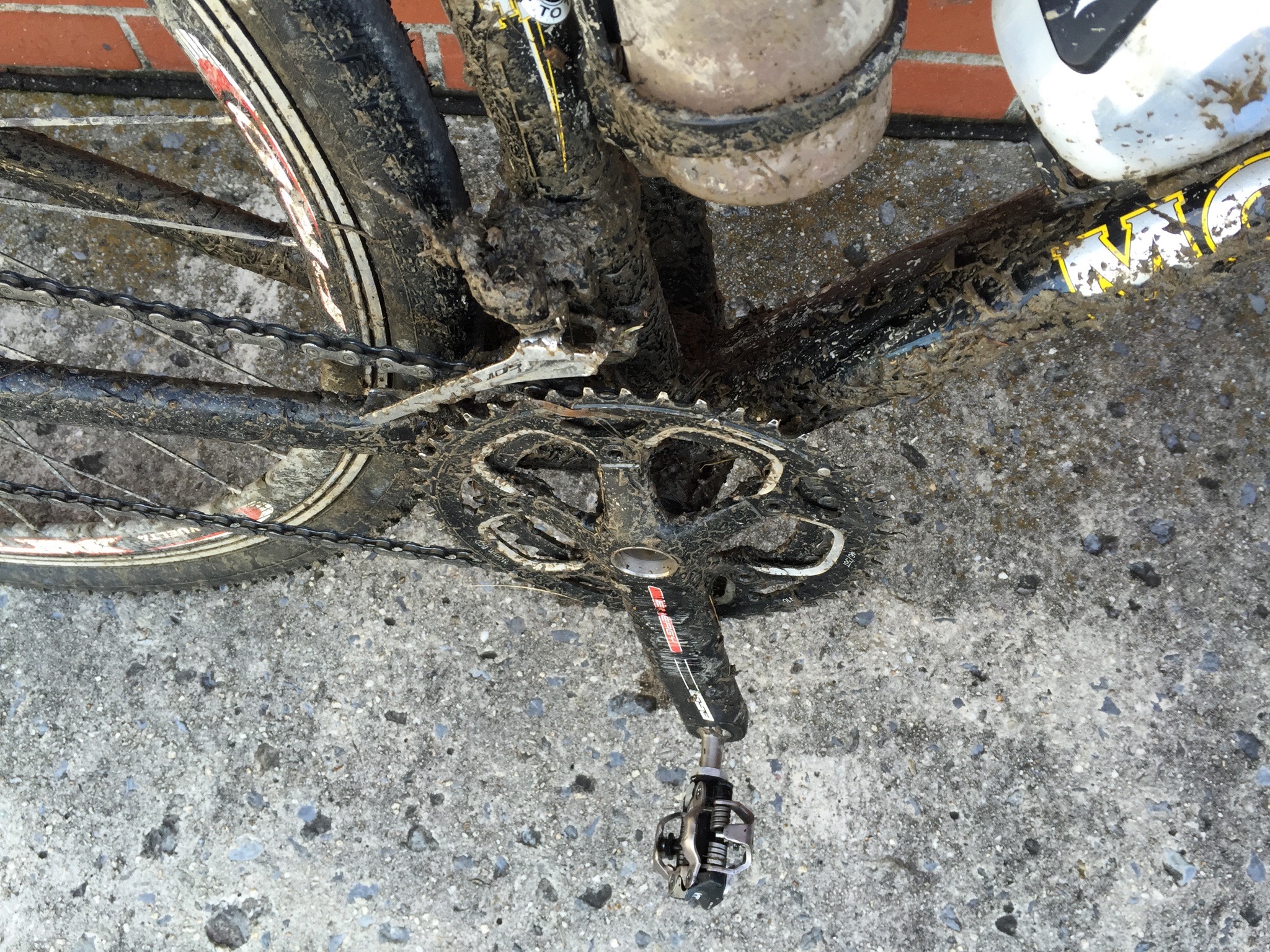
As I’ve noted a few times, this is the dustiest trail I’ve ever ridden anywhere.  The eastern half had a lot of fresh gravel on it, and I could see a ‘rooster tail’ of dust kicking off of Joe’s tires whenever he was in front of me.  The dust is so fine that it gets on everything and inside your bags.  If you are carrying clothes, food, or electronics, I strongly recommend putting them inside plastic bags, inside your panniers.

Before and after pictures of rinsing my bike off in St. Charles at the end of the ride:


I really enjoyed seeing another state by bike.  The Katy gives a really nice way to enjoy Missouri.  I’ve driven across a few times, but the bike takes you through parts of the country that most people would not see unless they were local residents.

And that’s what bike touring is all about for me: seeing the country at a slower pace, meeting great people, and enjoying the time away.


Here are a few tidbits of advice if you’re contemplating a ride on the Katy:

  • Use the widest tires your frame can fit.  You won’t likely need any aggressive tread, but you will want thick rubber.  The extra weight will be worth it in flat protection.
  • Carry 2 extra tubes and a patch kit.  You’ll likely need it.
  • Take 3-4 water bottles, especially if it will be hot.  There are very few opportunities to get water on the eastern half of the trail.  The western half seemed much better for water.
  • Carry one meal worth of food and if you’re traveling on a Monday, check for restaurants ahead of time.  There are long stretches without any opportunity for food.
  • Pick your milage carefully.  We pushed 70+ mile days for some segments.  That’s probably a bit too much for most riders.  The surface is pretty slow, so I would probably recommend 45-55 mile days, if possible.
  • Take lots of sunscreen.  Use it.


Overall, the Katy was a very nice ride.  I’ve checked it off my bucket list.  I’m not necessarily feeling like I will want to repeat the Katy unless there was a group of friends or some special event to draw me.  The Katy is definitely nice, but not at the top of my list of favorite trails.  It needs more small-town charm along the way, and a few more opportunities to explore.  If I were to recommend a part of the Katy, I think my favorite part is the area between Boonville and Clinton.  A nice 2-3 day ride out/back along that section would be a great long-weekend ride.


Here are some interesting statistics about our adventure.  Remember that we cut off part of the round-trip by hopping from Sedalia to Hermann by Amtrak during our return:

  • Total Miles by bike: 384
  • Total Calories burned: 13,400 (approximately)
  • Number of full pedal rotations: 156,968 (or 313,936 left + right strokes)
  • 30 Hours, 52 Minutes of time in the saddle.
  • Gallons of water/tea/gatorade consumed: I have no idea.  Lots and lots.
  • Flat Tires: Joe 4, Matt 1
  • Number of Honey Stinger waffles consumed by me: 11.  Yum.
  • Number of meals that included french fries: zero (but don’t ask about bacon, I lost track)
  • Number of days of rain: zero


With that, this brings to an end the 2017 Katy Trail tour for Joe and me.  I have appreciated the prayers, texts, messages, and emails of support while we were gone.  Thank you.

Peace!
– Deacon Matt

Katy Day 7 – Heading East, Rhineland to St. Charles (69 miles) – and HOME!

We set out early again today, getting a quick breakfast before hitting the road.  We expected the ride to be 65-70 miles , so it was going to be a long day.  Since it was going to be a hot day, we wanted to get as many miles in as possible early in the day.

Before leaving the rectory of the Church of the Risen Savior in Rhineland, this picture caught my eye.  I’m assuming it was put together by one of their quilters.  “Along the way take time to smell the flowers”.  Pretty good advice.

Setting out, it was already a bit warm and humid at 6:45AM.  As we got onto our bikes, there wasn’t a cloud in the sky.

We made pretty good progress, but the Katy trail is really bumpy through this section.  There have been a lot of trail repairs due to recent washouts.  The new gravel is very soft, with lots of hard bumps.

The Missouri is still running high and fast.  We got close to the river on a few occasions today.

After slogging through miles of rough patches and loose gravel, I was getting a bit tired of the bumping and high-resistance of this section of the trail.  The trail crossed MO route 95 and we took that opportunity to depart from the trail and ride about 13 miles on route 95.  Being on the surface street allowed us to ride a little faster, and definitely much more smoothly.  When we approached Marthaville, we stopped at a gas station to get some gatorade and rejoin the Katy.

Our first destination today was Dutzow, about 30 miles into the ride, and only about 3 miles past Marthasville.  On Mondays, many restaurants on the trail are closed, but the Dutzow Cafe was open for breakfast hours, and we knew we would need a real meal to fuel our ride.

The Cafe has good food and is located right on the trail.  Inside, we ran into a group of cyclists from the Chicago area.  I talked with them and found out that they all lived in the northwest suburbs very close to where I used to live in Algonquin, Il.

X

The next several miles were mostly in the open, going through farm land.  We still didn’t have any cloud cover and the sun was starting to bring on the heat.

The Katy is, by far, the dustiest trail I have ever ridden.  The western half was fairly dusty, but the eastern end is over-the-top dusty.  My bike, water bottles, panniers, and my body were all coated in a fine layer of limestone dust.  You could feel the grit between your teeth.  There was really no escaping the dust.

A few more miles brought us to St. Charles, our destination.  We took a picture by the Louis & Clark monument.

By the time we finished today you couldn’t even read the bike decals on my bike, not to mention that I was covered from head-to-toe in grit, especially my legs.


Right behind the monument was a water fountain that also had a spigot attached.  The spigot had really strong water pressure, which was fantastic for washing ourselves and our bikes.  The cool water felt amazing, and so did getting rid of the bugs, dust, and sunblock.  Here’s the “after” picture of rinsing the Katy off of my bike:

Joe was really tired today.  He decided that if he could power though, he’d get some ice cream when we got to St. Charles.  I was very pleasantly surprised to find out that the ice cream shop had some non-dairy frozen treats that I could eat!  Yum.

Before leaving St. Charles, Joe wanted to find a book for each of his kids.  We rode up into town, bouncing along the brick-paved street, looking for a book store.  We found it easily and I waited outside while Joe shopped for his kids.

With books in hand, we pushed up the hill to St. Peter Catholic Church, where we had parked our car last week.  We changed out of our biking gear, loaded up our bikes, and got on the road.  We had a very easy, albeit long, ride back home.

Tomorrow I’ll assemble some final thoughts about riding the Katy.  But for now, my own bed awaits.

Peace!

– Deacon Matt

Katy Day 6 – Heading East, Clinton to Sedalia (44 miles): Bikes, trains, and automobiles 

Today we started our journey back towards our car, which is about 240 miles away. Originally we had intended to ride back the entire way by bike, with a side trip into Columbia MO.  After looking at the high temps for the next few days, we elected to use Amtrak to cut about 110 miles out of the middle of the return trip.

Step one of our journey is to get from Clinton to Sedalia, about 40 miles by bike.  Step two is to take the train from Sedalia to Hermann, plus cycle a few miles to Rhineland for our overnight tonight.  Step three will be tomorrow, to ride the remaining 65-70 miles back to St. Charles, where we left our car.

Step one: complete. We had an uneventful and pleasant ride back to Sedalia, arriving before lunch.

Since we are backtracking over familiar territory, I did not take many new pictures of today’s ride.

We took a little more leisurely pace today since we only had around 40 miles to go.  We ate first breakfast before leaving Clinton, and making our way to Pilot Grove.


I was able to stop and soak up the scenery today. Yesterday, we had such strong headwinds that I had to keep my head down and tucked, concentrating on keeping my pedals going forward.  Today, since we came back the opposite direction, the winds helped us out and I could actually look up and enjoy the prairie and forest canopied areas.

The picture below doesn’t really do this view justice. To my left, there are waves of green corn growing and blowing in the wind. To the right is a huge field of golden wheat, blowing like waves on the ocean.  The wind was very strong and gusty, and the fields danced like a melody.  It really is a beauty to behold.  Notice also – no clouds to be found anywhere, nor any shade.


Our next stop was second breakfast.  We had spotted this restaurant in Green Ridge yesterday.  There were quite a few trucks parked outside – that said to me that the locals must approve.  It did not disappoint.  I had a simple breakfast of eggs, toast, and hashbrowns.  Well prepared and the service was so friendly.  I would absolutely come back here again.

We finally arrived in Sedalia around lunch time with plenty of time to spare for our 5:20PM train.  We spent a little time riding around Sedalia, making sure we knew where the Amtrak station was for later.  We ran into this nice lady and her daughter.  She is an organic farmer nearby and her daughter was heading back to Kansas City for college.  We had a very nice conversation for a few minutes before departing and looking for a little bit of lunch.

Most of Sedalia was closed up for Sunday, but Joe did find this sports bar that was open, so we went by to have a beer and some snacks to tide us over for a while.  We had about 5 hours to kill, so we decided a little time in an air conditioned restaurant was a good start.

We were pretty sure we would not have any opportunity to grab dinner tonight since the only restaruant in Rhineland is not open on Sunday late evening.  So we cycled into downtown Sedalia and went to Subway to get a couple of sandwiches to eat later on the train.  We killed a little more time at Subway while I tried to teach Joe a little about how to play cribbage.

The tiny Amtrak terminal has a cooled waiting area, so we pedaled back there to wait for the train.  Joe tried to nap, unsuccessfully.

It may be hard to see in the pictures, but my bike is completely covered in limestone dust.  Every nook and cranny, every chain link, and even every smooth surface has a fine grey powder stuck to it.  It is amazing how much dust comes off of this trail.  I try to clean the chain each day, but I am quite certain that the oil and limestone dust is making a very nice abrasive that is going all around the drivetrain each pedal stroke.

As we were waiting for the train, I received a text that the train was delayed.  Then a little while later, another delay.  Suddenly, our step two plan needed some tweaking.  We did eventually get on the train, however instead of having an hour of sunlight to ride back to Rhineland from the Hermann Amtrak drop-off, we would not have any sunlight left.  Our arrival time was just about sun-down.  I did not bring my bike headlight with me on this trip because I didn’t think I would need it.  Note to self – always bring the headlight, even though it is heavy.

Dial back a few days ago when we were in Rhineland…  We had an enjoyable evening with Deacon Joe and his wife Elaine.  When they dropped us off that evening, Elaine handed me a piece of paper with her number on it and said that if we ever needed anything to give her a call.  Why did she do that – what were the chances we would ever cross paths again?  God moment.

This evening, I used her number and asked Elaine if they would be able to give us a ride from Hermann to Rhineland.  They graciously said yes and picked us up right at the train.  A few minutes later, they dropped us off at Risen Savior church in Rhineland.

We quickly set about getting showered (yay, really needed it!), laundry done (yay, also really needed it!), and then updating the blog.
Tomorrow, we have about 65 +/- miles to go to get back to our car in St. Charles.  It is supposed to be a hot day, so we will be getting out early to beat as much of the heat as possible.  Tomorrow’s miles are very open in the sun, so we are hoping to cover a lot of path as quickly as we can.

Next Stop: St. Charles, then to home!  I’m really looking forward to hopefully sleeping in my own bed tomorrow.  We’ve gotten used to lots of unexpected surprises on this trip, but with God’s grace, we’ve managed pretty well.  Thank you for all of the prayers and support!

Peace,

Dcn. Matt

Katy Trail Day 5 – Boonville to Clinton (78 miles). No flats and definitely not flat!  Plenty of Wind Power, too!

We knew that today was going to be a long ride, so we got up early and had a quick breakfast at the rectory before hitting the trail.  We said goodbye to Fr. Basil before leaving.  I truly hope to cross his path again soon – he is the kind of priest that exudes joy.  I am certain that if more of our priests were like him, we would have many more young men discerning vocations.

Up to this point, the Katy has been meandering through the flood plains of the Missouri River.    From Boonville on, the Katy runs in a different direction.  The first 165 miles have been very flat, you could even say monotonous.  Today’s ride was not flat – these last 78 miles were nearly all up or down hill with very little flat.  The Katy is still a railroad grade, so the hills and climbs were all less than 3%, but there sure was a lot of gentle climbing, starting immediately as we left Boonville.  For anyone who has ridden the Great Allegheny Passage’s climb from Cumberland to Frostburg, today reminded me of that kind of climb all day.

The cool temperatures were really comfortable for the first 40 miles of today’s ride.  The afternoon was a bit toasty, but the beginning of the ride was really great.  All-in-all, very good weather today.

The Katy passes through a few small farming communities and small farm towns in this section.  Unlike the eastern end, I found this last 80 miles to be more varied and interesting scenery.  We rode long grades up into forested sections, took a few downhillls among interesting rock formations, and had a lot of canopied path.


We made pretty good time to Sedalia, although we didn’t really set any speed records.  We took a fairly relaxed pace going up the hills, opting for low gears.


On a couple of my past bike adventures, I’ve had to “face the demons” as I say. There are some days that your body decides that it does not want to undertake the challenge that lies ahead. You start to doubt your ability and training and wonder if you will be able to make it to the end of the day’s ride. I faced a little of that on day 2 of this ride – and during that day, Joe pulled me along. Today was Joe’s turn to face the demons.

Some place around Pilot Grove, Joe began having a little difficulty keeping up on the hills. By the time we reached the outskirts of Sedalia, I knew he was probably “bonking” – a problem where your blood sugar and/or water are out of balance from not drinking or eating enough. I gave him some nuts and made him drink a bunch of water. We arrived at the old Sedalia train station and he was a little better.

We went to Subway for lunch and we each ate a large sandwich and a couple of large cups of drinks.  That did the trick.  Joe came back to life!  Although his muscles were a little tired, his mental state improved 100%.  From Sedalia on, we were having a lot more fun.  And that’s a good thing because from there on, we encountered very stiff and relentless headwinds on top of the constant climbing!  We had nearly 45 miles of headwinds today.  We just geared down a click and took it one pedal stroke at a time.

The highest point of the Katy reaches 955 feet.  It was very hot and windy up there.  You can see that the trail seems to go on forever up there in the open!

Shortly after taking these pictures, we resumed our trip towards the end at Clinton.  However, after we had gotten back on our bikes and put our cameras away, a couple of A10  Warthog airplanes came swooping over our heads and turned back to where they came from.  The sound was amazing.  I did catch some footage with my sport camera on video, but I can’t upload it here until I get to a computer back home.


The next town we arrived at was Windsor, Mo.  This town purchased a caboose to put at their trailhead.  As they were restoring the car by stripping the paint, they discovered that under the outer layer, there was a paint job from the Spirit of 76 train that was used during the Bicentennial of 1976.  They then restored it to that condition.  Neat story!


We met this nice couple from Ithaca NY as they were making their way east on the Katy.  They had parked their car in St. Charles and had a shuttle service drop them off on the west side to pedal back east.  Her name was Elaine, I think.  I don’t remember his name – he hardly said a word.

We kept pedaling on to get to Clinton.  We had arranged to get to 5PM mass there.

We eventually arrived at Clinton!  This is the Western end of the Katy, so we can now say we’ve gone the whole length of the trail.

We had just a couple of miles of surface streets to get to the church.  We made it with about 40 minutes to spare.  We were introduced to Father Jim and Deacon Steve.  Deacon Steve and his wife, and another Deacon took us out for dinner after mass.  We had a nice conversation and got to know each other a bit.  It was a nice way to see downtown Clinton, too.

Clinton has a really  classic town square with the courthouse in the middle and shops all around it.  I love these kinds of towns!

As I write, I’m waiting for our laundry to dry, then it is time for bed.

Tomorrow is a 45-50 mile day, starting by riding back to Sedalia, catching the 5:20PM train to Hermann, then a few more miles from Hermann to Rhineland to stay for the night.  Looking forward to a more relaxed day.  We should have some time to explore Sedalia a little, take our time, and enjoy the scenery.  I’m also really hoping that those crazy winds from the west that pushed against us today keep up again so that we will have tailwinds on our way back tomorrow!

Until Tomorrow, Peace!

Katy Trail Day 4 – Jefferson City to Boonville (55 miles)

This morning we bid a farewell to St. Joseph Catheral in Jefferson City.  We left around morning rush hour, but the traffic was pretty well behaved around cyclists.  After stopping for a quick breakfast, we were back underway.

The Katy is on the other side of the Missouri River from Jefferson City, so we had to cross back over the bridge.  There is a square spiral ramp that takes you back down from the bridge deck to the ground below where the spur trail joins to take you back to the Katy.  That’s Joe on his bike in the picture below.  What I didn’t realize is that the reason he was going so low down the ramp is that he had yet another flat tire, a mere 3 miles from our start, and only 5 miles from getting brand new tires.

As he patiently took his wheel apart, Joe discovered that this flat was not a puncture like his previous ones, but was caused by the rim-tape of his wheel being shifted off its intended place and exposing the sharp edges of the holes where the spokes are.  So as he was riding, the sharp edge of the wheel cut into his tube.  Joe painstakingly removed the tape, put it back into in the right place, and put a new tube in.  About 35 minutes later we were back underway.  I could empathize with Joe’s frustration as he was putting everything back together.  We said a prayer for a smoother day and began plugging along.

Much like yesterday, much of the trail is along farm lands.  I am a little surprised at how infrequently we are close to the Missouri River.  We are definitely in the flood plain, but the river is far away to the south for much of the ride.  In the picture below, the river is far beyond the trees on the left side of the picture.  Being in the flood plain is what has made this such fertile farmland.  Over the millennia, the various floods of the river have left behind silt and organic material that has made this soil so rich.

We’ve seen some wildlife on the trail.  Not nearly as much as I had expected, but a few critters have shared our ride.  Yesterday, we saw several deer.  Today, I think I ran over a medium sized black snake that darted out as we were cruising along.  We’ve also seen a few turtles.  I stopped to get a picture of this cute little guy.  He’s a bit camera shy.

As we got closer to Hartsburg, you begin to see bluffs: cliffs of rock that are nearly straight up and fairly tall.  It is really hard to take a picture of them to give you any idea of scale.


The Katy shares its route with part of the Lewis and Clark expedition’s route.  At many of the trailheads you can find tidbits about their journey.

Around lunch time, we finally reached Rocheport.  This is probably the nicest small town we have seen along the entire Katy.  There are lots of nicely restored old homes, a quaint small shopping area, and a couple of places to eat.  We decided to stop for lunch at the General Store. 

The General Store isn’t really much of a store, but had a nice menu of sandwiches and such.  I decided that a PB&J sandwich was really a good idea, with a slice of apple pie.  You can tell from the picture which item was the main course.

After lunch we had about 12 more miles to go to get to Boonville and the temperatures were getting pretty hot.  We pressed on, but stopped at this iconic caboose not too far from Boonville.  When I was a kid, we used to see trains come through a town near where we lived and they’d stop traffic to let the train pass.  I remember always watching for the cabooses.  It was like the train wasn’t complete without a caboose.  That would be like a dog without a tail.  Eventually the cabooses stopped being part of the trains, but I still really enjoy seeing them – it reminds me of that time of being a kid.

Less than a mile after seeing the caboose, I heard a strange ticking and hissing noise coming from my front tire.  I knew what it was and quickly found one of the few precious patches of shade under a tree adjacent to the trail.  There was a sharp stone sticking out of the bottom of my tire.  When I pulled it out, the tire quickly hissed out all of the air.  The Katy trail had finally claimed one of my tires as its victim.  I decided to save that pesky little stone as a souvenir.  We had the tube changed in record time, after all, we’ve had lots of practice lately.

Getting into Boonville requires crossing a tall bridge over the Missouri.  From this point forward, the Katy and the Missouri diverge to go their own separate ways.  We put it into low gear and ground the pedals to climb up and over the long bridge into town.

Before heading to our home for the night, we decided to swing by the Boonville station.  They have a caboose out front that you can look in the windows of.

The station was a bit underwhelming.  There is a small bike shop inside, but not much else that would be interesting to a touring cyclist.

Next priority was to find Sts. Peter and Paul church.  A few short blocks from the trailhead, we arrived and took our things to our rooms.  Father Basil welcomed us to his home.  After a much needed shower, we settled in and did some work to prepare our return trip once we reach the trail end at Clinton.

The weather forecast continues to show very hot temperatures, so we will be picking up an Amtrak train to cut off about 110 miles and 1.5 days of cycling on the return.  Once we get to Clinton, we will cycle back to Sedalia, catch the train to Hermann, and then cycle to St. Charles from there.  We’ll still have about 108 miles of the return trip to cycle back to our car, but we will have one less day of scorching 96-97° heat.

Father Basil is from Nigeria and a wonderful young priest.  He also is a very good cook, apparently.  He was at the beginning stages of making tomato sauce (he said stew) from raw fresh tomatoes.  It smelled awfully good!


Smelling Father’s sauce cooking made us hungry, so we set out for some dinner.  We decided that Mexican food sounded good.  And it tasted good, too!


Boonville has some really nice older homes, so we grabbed a couple of pictures as we walked to dinner.


Tomorrow is our longest day of the tour at 73 miles.  On paved surface, this wouldn’t be too bad, but this surface is slow and the temps are supposed to be high.  So we’ll be up and out early, chugging along down the trail.  Assuming all goes well, we will complete the full length and reach the end of the Katy by late afternoon tomorrow!

Peace!

Katy Trail Day 3 – Rhineland into Jefferson City (45 miles)

We both slept pretty well last night, and it was an early rise to try to get out before it got too warm.  We stopped but the Trailside Cafe (again) for breakfast.  Good food and reasonably priced.

There are constant reminders of the flooding that happens along this corridor of the Missouri River. Flood markings, signs, and the frequent notes about the “1993 flood” are on most of the informational signs at the various trailheads.

The town we stayed in last night, Rhineland, was one of the biggest flooded areas in 1993.  Inside the Trailside there were pictures of the flooding.  This town doesn’t seem that close to the river, but the volume of water that flowed over the banks must have been enormous.  Rhineland had been subjected to several floods in the past, and the 1993 flood kicked off a major change.

Shortly after the ’93 flood, the entire town, except for one single family, picked up their houses and moved to the hilltop above the existing town.  A lottery was held to choose the new plots of land for each family.  Then their houses were moved or new ones built.  In their new location, they are no longer subject to the massive power of the Missouri River’s floods.

After finishing our breakfast, our next stop was to make our way steadily westbound, heading for Jefferson City.  We passed through several tiny towns and just a few trailheads.  This part of the trail continues to be pretty sparse.  The scenery is pretty, but not much else to see along here.  Even the small towns are mostly closed up without services.

One neat tidbit was this single rock that was right next to the trail.  Geologists say that it was left from erosion over time.


After many miles of forest and farmland, we finally arrived at North Jefferson – a trailhead on the northern side of the Missouri River.  Jefferson City, the state Capitol, is 3 miles south, across a bridge over the river.

We departed the Katy and took the trail up to the huge bridge over the river. To get on to the bridge, you have to ride up a climbing set of ramps that brings you from the ground to the bridge deck-level that is several stories above the ground. Once up at the top, you are on a dedicated bike/pedestrian bridge lane separated from the very busy traffic. The view from up there was pretty nice.


Exiting the bridge, you end up on the east side of Jefferson City.  This town clearly embraces the bicycle culture and bike tourism.  Good bike lanes and courteous drivers were everywhere we looked.


We had arrived around lunch time, but we also wanted to find Joe some new tires.  We found 3 bicycle shops on the map and chose one near the Capitol Building.

We were very successful.  The guys at Red Wheel Bikes took good care of Joe.  We got him some new and thicker tires to carry us the rest of the way.  Joe says that when he felt the difference between the older and newer tires with his fingers, he could tell that these would be much more robust.


Our next stop was some lunch.  Deacon Joe had recommended a little restaurant near the Cathedral.  To get there, we headed back about 2 miles east of the Capitol, climbing nearly all the way.   With lunch taken care of, we continued a little farther up the hill until we arrived at the Cathedral.

Msgr. Kurwicki met us and showed us to our rooms in the rectory.  The rectory used to be a Carmelite women’s monastery.  The parish purchased it a few years ago and did a very nice but modest restoration.  It is a very comfortable place to stay.


After getting cleaned up, we took an Uber down into town – we did not want to ride any further today.  We found a sports bar for dinner.

Today happens to be Joe’s birthday, so we had a nice celebration with a steak and beer.


We took a good long time to eat dinner and talk before heading out.  There was a outdoor concert going on when we left, so we wandered about for a while before Ubering back to the Cathedral.

This is the first time either of us had used Uber. It was pretty easy and efficient.  I’d use them again, for sure.

Upon return to the rectory, we started researching some alternate plans for what to do once we reach the western end of the trail.  As we looked at the weather forecast, they are now predicting 95+ degree temperatures for Monday, Tuesday, and Wednesday.  One really hot day isn’t too bad, but three in a row, combined with long days, seems a bit daunting.

So we are considering taking a train back part of the way to cut off about 1 1/2 days of riding on the return.  With the added bonus that neither of us has ridden Amtrak before, we get a little bit of an adventure added.  We’re going to sleep on that plan and decide tomorrow.

Well, tomorrow is a long day, so it is time for bed.

Peace!

Katy Trail Day 2 – Flat and Flats from St. Charles to Rhineland (68 miles)

Today started with a nice breakfast send off from Deacon Larry and his wife Mary.  They were amazingly wonderful hosts.  Dcn. Larry likes to come out to Kentucky to Gethsemane Abbey for retreats – so maybe we can convince him to head our way before/after so that we can return the hospitality.

The weather for today looked to be a great forecast.  Doesn’t get much nicer than a cool start and highs in the upper 70s or lower 80s.  (But note the forecast for later in the week when we are making our way back – 95 degrees.)


At the St. Charles trailhead, they have a couple of cabooses, so it seemed like a good place to get our start-of-day obligatory picture.


Today’s trip was about 68 miles.  We had originally planned a few extra miles of side-trip into Hermann, but decided later to hold off on the extra trip.

Throughout the 68 miles, the entire trail is very flat.  The Katy is a crushed limestone surface and pretty well maintained.  We rode over a few minor washout repairs, but no major trail ruts or problems.  The trail is fairly smooth, but the buzz of the gravel is a constant companion, and the surface doesn’t allow you to coast much.  So although it is very flat, you are constantly working to keep the pedals turning.

We were told to expect nearly all shaded area today.  I would say we were about 70% shaded and 30% very direct sun.  Parts of the trail are canopied with trees, but there are very long stretches where you are adjacent to, or down the middle of farm land with absolutely no cover at all.

On the east end of the Katy, most of the trail is close to the Missouri River.  Sometimes, it is only a few feet, and other times you are a few hundred yards.

We saw several places where these murals up to draw attention to the construction of the Katy through the land trust.

Throughout nearly our entire ride today we kept crossing paths with a guy named Doug.  He is in the green shirt blow.  He is from Juno Alaska and flew in with his bike to ride the Katy.  We talked a bit and he seemed pretty nice.  We didn’t get a chance to exchange contact info.

Today did bring a few challenges, too.  Yesterday, Joe had a flat on his rear tire.  Today he had a flat on the rear tire, and another on the front.  The second flat happened less than a mile from our destination.  It looks like the tires he chose just aren’t up to the challenge of the tiny and jagged rocks of the Katy.  His first flat today took a little time to repair, and by the second one, we decided that we need to find him some new tires.  So when we get to Jefferson City tomorrow, we will be heading to the bike shop to find something that is a little more suited to the trail.


After the second flat repair today, we finally arrived at our home for tonight: Church of the Risen Savior in Rhineland.  It is right across the street from a huge corn field.

We were greeted by the parish secretary who showed us around and got us situated.  One neat thing that I’ve not seen at a parish before: a quilting ministry.  As we arrived, the quilters were just wrapping up.  They meet and work on hand-crafted and pieced quilts that are then auctioned off as fundraisers for various ministries and needs.

One of the quilters, Maxine, came out and talked to us about the Katy.  She is a trail volunteer who used to like to ride the trail.


After getting cleaned up, we went to 6PM mass.  Right after mass, the assisting deacon and his wife offered to take us over to the (as in the only) restaurant in Rhineland: the Trailside.  Jerry and Elaine grew up in this area and have lived here for many years.   Over dinner, they told us a bit about themselves, their grown kids and their families.

For me, dinner consisted of fried chicken.  Yum.        It was pretty tasty!


After dinner, they offered to drive us around a bit, including taking us to Hermann – the town we elected not to ride into.  It was a wonderful tour and great dinner.

While in Hermann, they took us by St. George’s.  It is a really beautiful church with great stained glass depicting the corporal and spiritual works of mercy.


So now our laundry is washed and we’re about ready to call it a night.  Tomorrow will be shorter day – probably around 40-45 miles into Jefferson City.  We are hoping for a respite from the flat tires, too.

Until tomorrow, good night!

Peace.

Katy Trail Day 1 – An easy start (25 miles)

Today was an early day.  We began by leaving Lexington very early and driving out to St. Charles, Missouri to begin our week-long adventure on the Katy trail.  After a mostly non-eventful ride, we finally saw the iconic St. Louis arch off in there distance, which meant that our first destination was pretty close.  A little while later, we arrived in the town of St. Charles.

I had read a little about St. Charles, but I still don’t really know much about this neat town.  The old main street is brick-paved and really fascinating.  Lots of old buildings that now house small shops and restaurants.  I wish we had another day just to wander the streets here.

The Katy starts a few miles east of St. Charles, but there isn’t much at all to see or places to stop between here and the eastern end.  So we began our trip by leaving our car at one of the parishes in St. Charles and riding our bikes out to the east end in Machens, MO – about 25 miles round trip.

The ride eastward was fairly uneventful.  The trail is a nice crushed limestone surface.  Not as smooth as pavement, and a bit harder to pedal, but all-in-all, a good riding surface.

Missouri has had a lot of rain this season, and the river had reached flood stage not too long ago.  I had read on the state web site that there was a closure a few miles east of St. Charles.  We found the closure, but chose to continue on because we wanted to see the entire Katy trail.  The wash-out area was pretty rough with mud and ruts.  It took some careful riding to navigate, but we managed to do it OK both directions.

Eventually we reached the eastern end of the Katy in Machens.  The trail abruptly ends here.  Aside from a latrine and the trailhead map, there is nothing here.  No water or parking lot.  We stopped for a photo opportunity, and then turned our way back to St. Charles for the evening.

On our way out to Machens, the winds were fairly strong and in our face.  We could see the occasional flag that was blowing straight out, and the prairie grasses were all bending towards us.  The nice thing was that the headwinds became tailwinds as we turned back to St. Charles.

Shortly after turning back, Joe had a flat tire.  It wasn’t obvious where it was leaking and it was a slow leak.  So we stopped about every 2-3 miles to pump his tire back up and nurse it along the 12 miles to St. Charles.  When we returned, we were able to find a bike shop to change out his tube at the Bike Stop Cafe.

After the delay, we quickly packed up our things and made our way to our hosts for the night.  Deacon Larry and his wife Mary prepared a nice dinner of pasta and we spent the entire evening talking, sharing ministry stories, and laughing a lot.  A really nice glass of red wine completed the evening.  Once again, as I often point out, the fellowship we have on these biking adventures is great.  I had never met Deacon Larry before, but over some pasta and wine, we become family.


It is time for bed.  We have a long day tomorrow in the saddle – probably about 75 miles.  We’re hoping for no more flat tires and definitely more tail winds to help speed us along.

Next stop: Rhineland, MO.

Peace!

– Dcn. Matt

7 Days to go, then off to bike the KATY!

This year, Joe and I have decided to ride the KATY Trail.  The Katy (short for “Missouri-Kansas-Texas Railroad”, MKT, or now just KT/Katy) is a 240 mile long off-road trail that runs from Machens, MO (near St. Louis) to Clinton, MO (about 45 miles SE of Kansas City).  240 miles is not a real long distance for bike touring, so we’ve decided to leave our car at the east end of the trail, ride all the way to Clinton, and then all the way back.  We will be making a side trip or two, including into Jefferson City and into Columbia.  We figure we will end up around 500+ miles for the trip.

The Katy has been on our bucket-list of rides for a while.  I’ve talked to several others who have biked the Katy, and it sounds really nice.  It hugs the Missouri River and passes through many small towns that grew up along the railroad.  It is also a large part of the Lewis and Clark National Historic Trail, so we hope to get a little education along the way.

We drive out next Tuesday and begin our journey with a short day of riding on our arrival.

As usual, I will be blogging about our adventures, people we meet, the towns, and of course whatever we find to eat.  I found a really neat full-sized, very lightweight, keyboard that folds up into a tiny package, and then unfolds so you can type on it.  It is Bluetooth and can connect to my iPhone.   I am going to carry it with me and use it for blogging this time.  Typing a long blog using my thumbs on my phone takes a lot of patience, so I think the extra few ounces of weight will be worth it.

We hope you’ll follow our journey and perhaps find a laugh or two with us!

A couple of good resources for the KATY:

Missouri State Parks: Katy Trail State Park  and  www.bikekatytrail.com

Peace!

– Deacon Matt

Final Thoughts – 2015 Great Allegheny Passage / C&O Canal Tour

IMG_7130

It’s been a few days since we completed our ride along the quiet paths of the Great Allegheny Passage and the C&O Canal Path.

We finished our journey on Friday evening, but stayed in Washington DC on Saturday to take advantage of the museums and things to see.  Joe’s wife and kids managed to meet us there, which was a lot of fun!  I enjoyed seeing the Air and Space museum with them. IMG_7454

After the day, I said farewell to Joe as he went off with his family to their hotel and to drive home to Lexington.  I went back to St. Peter’s and went to mass in the evening.  It happened to be the final weekend for their pastor, Fr. Bill.  The mass was spectacular – great music, a great homily, and a wonderful cook-out afterwards – served in their hall since it was pouring outside.  I met some wonderful people at the party and it was clear that this parish has loved its pastor.  I was glad to be able to experience this.

The next morning, I got up early and made my way out to begin my multi-step journey home to Lexington.  My bike was still filthy, so I hosed it off and left it to drip dry in the garage.  I then walked my way to the DC Metro, arriving very early as it was just opening.  The kind lady who was opening the station was a very friendly way to start my Sunday morning!  After catching the blue-line to Reagan National Airport, I found my rental car, drove it back to St. Peter’s, and promptly loaded my bike and panniers into it.  I was on the road back to Lexington before 8:30AM.  The interstate tracked past a few of our places we cycled.  In fact, the interstate took me directly through Cumberland and I passed over the GAP and next to the hotel we stayed at.  It was a little fun to realize I’d just been there a few days ago by bike.

With a couple of good audio books, a small bag of Reese’s Pieces, and a tall glass of water, I made it quickly back home.  I was in my driveway before 5:30, which seemed like pretty good timing.  What was even better is that this allowed me to catch dinner with my family.  That was the real highlight of the day.

And, for me, coming home is always the best part of a journey.

Looking back, this was a really fun trip and it went by very quickly.  I have been on the full GAP/C&O once before in 2012, and cycled the GAP last fall with Joe.  This time was a bit faster on the pace – six days means you are packing a lot of miles into each day.  That didn’t leave much time for extra sight seeing.  On the plus side, we never got rained on.  That’s a first for any of my bike trips.  On the other hand, there were plenty of opportunities to become one with the earth, or mud, along the C&O Canal.

IMG_7315 IMG_7344

The Great Allegheny Passage is a really great rail trail.  Probably one of the best anywhere.  It isn’t paved, but it is well maintained and the rain doesn’t turn it into mush.  The scenery is beautiful, the little towns are fun, and there are enough services along the way to make for an easy trip.  I can certainly see more trips along this great path some day.IMG_7134 IMG_7250 IMG_7258 IMG_7261 IMG_7267

The C&O Canal path has a very different character.  It feels more historical, more rustic, and definitely a rougher path to ride.  The 60+ mile days on this path felt like 80-100 mile days on pavement, by comparison.  There are not very many services, so you have to prepare carefully for food and water stops.  If you want to camp, there are many places to do that.  But if you want to find accommodations under roof, you’d better plan that out far in advance.  Although the C&O offers a really great ride through the woods, the downside is that it is really better for full-suspension bicycles (with fenders, for sure).  It was pretty rough riding.  I don’t know if I really have a draw to ride this one again any time soon.  Riding it with friends would always be a fun thing to do, but there are many other great paths out there to try that don’t rattle my bones quite so much.

IMG_7310 IMG_7366 IMG_7372 IMG_7389 IMG_7421 IMG_7423

Here are a few quick stats from last week’s ride, after downloading my GPS data at home:

  • Great Allegheny Passage:
    • Day 1: 60.7 Miles – Pittsburgh PA to Connellsville PA
    • Day 2: 48.4 Miles – Connellsville PA to Rockwood PA
    • Day 3: 46.3 Miles – Rockwood PA to Cumberland MD
  • C&O Canal Path:
    • Day 4: 60.6 Miles – Cumberland MD to Hancock MD
    • Day 5: 66 Miles – Hancock MD to Harpers Ferry WV
    • Day 6: 65.7 Miles – Harpers Ferry WV to Washington DC
  • Total Distance 347.6 Miles
  • Total Calories Burned: 17,391
  • Total Calories Consumed: (uhh.. too many to count?  I did gain a little weight!)

If you’ve never tried bike touring, I definitely recommend it.  Even just an overnighter for a two day ride of 20-40 miles each day to try it out.  This trip was so much more fun than just driving somewhere.  By bicycle, the world passes by much slower.  You notice the wildlife, small waterfalls, and forest.  The river’s sounds fill your ears and the cell phone doesn’t really work all the time.  That’s really a great thing to experience.  It is a sort of retreat on two wheels.

And then there are friends to be made.  I have made several good friends and many acquaintances.  Joe and I discussed that when you meet new people on your bike, you seem less threatening.  Total strangers seem to take keen interest in your journey and conversation flows.  I can truly say that everyone we met turned out to be a friendly face.  I still keep in touch with friends from all over the states that I have met riding my bike.

IMG_7124 IMG_7156 (1) IMG_7239 IMG_7318 IMG_7352 IMG_7353 IMG_7359 IMG_7378 IMG_7379

One question I’ve been asked: who is this mascot that shows up in my pictures?

IMG_7140 IMG_7145 IMG_7192 IMG_7270 IMG_7413

That’s Mr. Hamster.  He was crocheted by my daughter several years ago and whenever I leave town, he comes with me.  I then take pictures of him and send them home.  He’s been to 14 or 15 different countries, he’s an experienced bike traveler, having ridden with me on 4 long distance journeys, and he recently hiked the Camino de Santiago with me.  He’s my buddy when I’m away from home.  He helps remind me of my family.

So, where to next?  I don’t know.  I’ll probably meet up with some cycling buddies some time this fall for a long weekend ride or two.  Maybe a two or three day ride up on the trails in Ohio, or maybe the Greenbriar trail.  In the end, I’m sure another fun adventure will await.

Until then, Peace!

IMG_7432

Day 6: Harpers Ferry WV to Georgetown, then to Capitol Hill in DC – 66 miles, Journey Completed!

I have to put a disclaimer here – I am completely worn out and can barely keep my eyes open.  So if there are lots of typos and poor grammar, it is to be expected…

Last night was one of the most relaxing evenings I have had in a while. We hung out in the rectory at St. Peter’s in Harpers Ferry, washed our laundry, listened to the trains go by, popped some popcorn, watched Field Of Dreams, and promptly passed out. I slept so well.

After dinner, we found out that one of the local B&Bs stocks a fairly large room with various goods for hikers and bikers coming through.  We went in search of breakfast items. We bought some milk and a large blueberry muffin for the morning.

After our breakfast, which consisted of lucky charms, milk, a blueberry muffin, and an energy bar, we packed up at a leisurely pace and set out. Our first stop was a little shrine to Mary behind the church. We asked for her intercession for safety and good weather. 

 The weather report for today predicted rain at some point.  I am happy to say we saw no rain at all!  However, we saw a lot of mud.  It rained overnight and soaked the trail.  There were stretches of decent conditions, followed by areas with lots of puddles and mud.  My legs and bike were absolutely covered within the first hour of the ride.

There are not very many towns along this stretch of the C&O, so we planned on riding a bit and eating energy bars until we found a place to eat.  About 20ish miles, I began to notice that I was needing food badly.  We came across Whites Ferry and stopped at the snack bar, hoping to find something to eat. It was still pretty early in the day, so the grill wasn’t up yet.  We settled for some prepackaged snacks and moved on.

Whites Ferry has the only working ferry boat on the Potomac river.  We contemplated taking the boat across and back, but decided against it since we wanted to get to DC soon. 


You’ll notice on the building, there are flood markers.  Check out how high the water has gone in the last few decades.

Without any decent meal, we continued on, hoping to find something to eat.  We had no luck for a long distance.  When we finally reached the Great Falls, we stopped at the snack bar and each grabbed a Nathan’s hot dog. I really needed the food, and boy was it a good hot dog.  My outlook on life improved significantly. 

  
We then walked out on the pathway over the Great Falls.  It is really amazing to see that the same glassy-calm Potomac from a few miles back is choked down to a very small and rocky passage.  The roar of the water is pretty neat. 

      
At this point, we were only about 20 miles from our destination and we were anxious to get there.  So we packed up and pointed down the trail towards Georgetown. 

The trail was very congested at spots, but we were able to navigate well and made good time. Along the way, we saw several blue herons and a couple more turtles.  We also saw a jet-black squirrel.  I’ve never seen a black squirrel before.

Outside of Georgetown, we decided to jump on the Capitol Crescent trail because it is paved!  We missed out on seeing a few pretty neat historical things, but after feeling like I was going to rattle my brains loose for the previous 350-ish miles, pavement looked pretty awesome.

We rode all the way to the Thompson Boat Center and found our way to the elusive Mile 0 marker.  It is very hard to find, but I had done a little digging on the Internet and knew where to look.  It is located at the original gate between the Potomac and the C&O canal.  This non-imposing little gate is tucked away in a corner behind the regatta raft garage.  However, this gate holds modern significance, too.  It was known as the water-gate of the canal.  And immediately across the road is the hotel named for this unassuming little trench: The Watergate Hotel. 

     
After a couple of pictures, we set about trying to get to our destination: St. Peter’s on Capitol Hill.  We slowly picked up some trails and sidewalks to get to the memorial area.  We briefly stopped in front of the Lincoln Memorial to snap a quick picture and then started weaving our way through pedestrians eastward to the mall.  There were a lot of people in town and it was slow going. We traveled up next to the WW II memorial and then stopped in front of the Washington Monument to take a celebration picture. 

    
We kept on dodging and weaving along, slowly making our way up the mall.  Near the end, we happened across some sort of festival.  Some people were eating a mango. Some of you know that fresh mangos are one of my favorite things in the whole world. Combine that with 60+ miles of riding and I became single minded!  I found the fruit seller who graciously cut a very large mango up for me and put it into a plastic bag. I ate about half of it in record time as Joe watched.  I saved some for a little later after dinner.

 We made the climb up Capitol Hill, and turned down the street to St. Peter’s.  Two minutes later, the rectory manager greeted us, helped us get our bikes stowed away, and showed us to our rooms in the rectory. 

    
After hosing off my bags and shoes, I took a very much needed shower.  We walked up to Pennsylvania Ave and looked for food. We wanted a nice celebration dinner, with the no-fries rule strictly enforced. Dinner was at the Hawk and Dove.  We ate, recalled some funny moments of the trip, and celebrated. I capped off my dinner with a slice of cheesecake.  Everything went down so easily.  It was very tasty and I was very hungry.


When we got back, Fr. Bill was cooking himself some very delicious linguini with shrimp. I know it is delicious because I had a small serving and it was very good!

After second dinner, Fr. Bill and I took a very nice walk around the Capitol and Supreme Court, through the surrounding neighborhood.  The air was beautiful and the sky was blue. We chatted and got to know each other a bit.

Now, it is time for bed.

I’ll put together a final installment with some thoughts about the trip.  Until then, peace! 

Day 5: Hancock MD to Harpers Ferry WV – 65 miles

Today started with a simple breakfast at the B&B. We got out early knowing our longest ride day lay ahead.  We wished Ben good bye, and chatted with Chris and Sarah about the trip to Harpers Ferry since they were heading there, too.


We began the day continuing on the Western Maryland Rail Trail for a few miles. Near its end, you can (should?) jump off and rejoin the C&O canal path.  We decided to go to the end, which takes you to a road that runs to the north side of Fort Frederick.  This was a really nice detour, but involved a pretty long and steady climb.  By the time we got to the top of the climb, we were out of breath.  However, we turned right and this took us on a long descent into the Fort Frederick park.

We didn’t intend to really spend any time in the park, we were just going to pass through on our way back to the C&O which passes by the southern park entrance. We parked our bikes and wandered into the fort to snap a quick picture.  A minute later, a park ranger came around the corner and enthusiastically gave us a quick tour and told us a lot about the fort.  He then asked if we had five minutes, and we said we did. He jogged off and grabbed some keys to open one of the barracks rooms.  He pulled aside the “don’t touch anything” gate and invited us in.  He gave us a really awesome overview of everything from the beds to the weapons.  He clearly enjoys his job and shared that joy with us.  What a nice surprise for us today! 


We jumped back on the bikes and pedaled on. Some beautiful scenery and many locks to see. It is very pretty, with a dash of history added in.  The C&O follows the Potomac river the entire length from Cumberland to DC.  You are never very far from the river, and for most of the trip, you are only a few feet away.


There are several dams along the Potomac.  They create large slack water areas and allow for water-power to be harnessed. In the past the water turned various kinds of mills.  Today, there is some hydro electric power being generated.  The most obvious impact, though, is that these slack water areas create huge recreation areas for boating and water-front parks and homes.

We stopped at dam 5, which was the scene of several attempts by Stonewall Jackson to destroy it during the civil war.  Watching the water spill over the dam, you get a real sense of the power behind the river. 


Our next stop was Williamsport MD for some food. We stopped in the Cushwa Coal building to look around.  Not really much to see.  However just before, I had stopped outside to eat a banana and snap a picture.  As we left, as if by divine intervention, Chris and Sarah showed up and hollered over. They had found my phone that I had set down.  Wow, that would have been a disaster if they had not shown up.  I am so thankful for good people whom God has sent my way.

We pushed up into town and grabbed lunch at The Desert Rose cafe.  It was really good!  Simple sandwiches and really friendly people.  I ordered a grilled cheese and tomato sandwich and Joe got some red beans and rice.  It tasted so good and the wonderful people working there made the meal even better! 

  
We looked at the weather and decided to push on quickly to try to get to Harpers Ferry before too late in the day to avoid rain.

The trail conditions today were pretty good, mostly. A few squishy spots and puddles, but it was easy to dodge most of the messy parts.  Shortly after passing Shepherdstown, we ran into a crew working on the path.  They had scraped it up and were probably preparing to lay down a little bit of gravel.  It was such a mess.  It was like riding on cookie dough. The tires sunk in and bogged us down terribly.  At one place, there was about 10″ of muddy gravel we had to slug through.  We nearly didn’t make it without falling over.  Next, we caught up to the dump truck for the project that was chugging its way down the path, making huge tire ruts and bumps in its wake.

A few miles later, he departed and we were back to cranking our way towards Harpers Ferry.  Around 2:30PM we arrived at the bridge on the Potomac that crosses over to Harpers Ferry.  There is a trick, though. First you have to take your bikes and gear up 43 steps of a circular metal staircase before getting to the bridge deck. After cycling 65 miles, carrying everything up stairs takes not just physical determination, but some mental determination too.  We survived the staircase and walked the railroad bridge into town.  

I had made arrangements ahead of time to stay at the rectory at St. Peter’s church here in Harpers Ferry.  So we had to get there first. This involved some short, but steep, climbing.  It was a nice exclamation point on today’s great day of cycling.  The view from this little house is really great, looking over the river, train tracks, and local historical architecture. 

       After a shower, we set out in search of dinner. The “no fries” rule is still in effect, so we looked at a couple of menus and decided on a hamburger at a local place, whose name escapes me at the moment.  I had one of the very best hamburgers ever made.  Perfectly cooked, thick, with crumbly blue cheese and a garlic aioli on it.  Some chips, great cole slaw, and a soda finished it up.


Incidentally, in the middle of dinner, who should walk into the restaurant?  Chris and Sarah, of course.  It is becoming kind of interesting to anticipate where we will see them next.

So we are hunkered down tonight at the rectory, washing our clothes and relaxing a bit.  We are ready to finish our journey tomorrow.  We will go find mile marker 0 of the C&O, then take some other bike trails into the National Mall of Washington DC.  We have about 60 miles to the end of the canal, then another 4-5 miles to get to the Capitol. So it will be a long day to finish.  The weather is supposed to rain overnight and hopefully hold off for most of our ride tomorrow.

It’s been a great journey, but I am looking forward to getting home to my family soon.

Day 4: Cumberland MD to Hancock MD – 60 miles

Last night, after dinner in Cumberland, it stormed.  It really stormed.  It rained a lot.  The good news is that we were safely in the Fairfield Inn watching the chaos from the window.  The bad news is all that rain was soaking the C&O Canal Path that we were going to be riding in a few short hours.

 We woke up early and got our first breakfast downstairs at the Fairfield.  I ate a couple bowls of cereal and some fruit to get started.  We were on the trail by 7:15AM.  The first 10 miles of the C&O were muddy – real muddy.  Puddles everywhere, and thick mud.  Fenders were definitely helpful, but my legs were still completely covered with mud, and our bikes were coated in mud.  I hit one puddle that perfectly hit my leg, ran down, and into my shoe, then out the vents in the front.  By that time, I was so wet, it no longer mattered… from there forward, embrace the puddles!

 This part of the canal is a little sparse for services, so we carefully looked over internet maps for places to get food and water.  There are really only two good spots to stop for food: The Schoolhouse Kitchen in Oldtown, and Bill’s Place in Little Orleans.  We decided to stop at both because of the distance we were covering today.

Our first stop was at The Schoolhouse Kitchen in Oldtown for our second breakfast.  We were both hungry already, and this was pretty much the only choice for another 20 miles.  This is an old high school which is now a vocational school.  At one end is an automobile shop and the other end is a kitchen.  We went in and enjoyed some local company.  The people there were super friendly.  The food was very basic, but reasonably priced.  I had a couple of eggs and Joe had some pancakes.  Nothing super great, but it filled us up for the next stretch.

    
This part of the C&O is very rural.  The canal has patches that still hold water, but most of it is an empty ditch with trees growing in it.  The path is not maintained, it is packed mud with a little gravel here and there.  There was a lot of debris on the path from small twigs to some 2-3″ branches.  And of course, the puddles of doom.  The towpath is also very bumpy.  My arms were pretty sore, my hands were numb, and I think I probably rattled a filling loose somewhere along the way.  I would also say this is a mentally taxing area to ride because you need to be ever vigilant to avoid hazards.

      The next major landmark on the canal is the Paw Paw Tunnel.  This 3,118 foot tunnel was carved out without the use of power equipment, to allow the canal to pass through a hill.  It took the team nearly 14 years to blast and chip their way through.  It is lined with 6 million bricks.  There is no lighting in the tunnel, so you have to dismount your bike and walk through on the very uneven surface of the old towpath.

       After exiting the tunnel, we kept up a decent pace.  A while later, we finally arrived at Bill’s.  I’ve been to Bill’s once before in 2012 on the Rails To Trails’ Greenway Sojourn tour.  Joe had not.  Two very good reasons to stop at Bill’s: there isn’t anywhere else for another 20 miles to get water, and Joe had never been there.  We walked in and ordered our lunch – a fish fry that was not too shabby.

 Describing Bill’s place can’t do it justice in words, nor pictures.  But I’ll give it a shot.  Imagine a small bar, small restaurant, small grocery store, and jukebox joint wrapped in one.  Then place it in the middle of nowhere.  That’s Bill’s in Little Orleans MD.  Without Bill’s, I think Little Orleans would probably lose at least half of its population.  According to 2010 census, the population of Little Orleans is 42 (Wikipedia link).


At Bill’s place, one thing you can do is examine the dollar bills stuck to the ceiling.  Back in 2012 when I came through Bill’s place, I gave him a dollar bill with my name and date on it.  I was quickly able to find my 2012 dollar bill in the entertainment corner over the not-working pinball machine. Joe also gave them a dollar to put up, so if I come through here again, we’ll have to look to see where they put it.

 With the obligatory stop at Bill’s out of the way, we turned our attention to arriving at Hancock, MD, our stay for the night.  There is a converted rail-trail, the Western Maryland Rail Trail that parallels the C&O for 22 miles of glorious, mud-free, puddle-free, butter-smooth pavement.  After the rattling of the C&O, we gladly jumped on and rode this into Hancock.  It was spectacular to have a nice paved path for a while.  It is so much easier pedaling, and your body seems to forget what it is like to be able to coast a little.  Joe and I were comparing and decided that our century 100-mile ride earlier this season was probably easier than the 65 miles on the C&O today.

After about another hour on the rail-trail, we arrived at Hancock MD.  We stopped in the C&O Bicycle shop at the edge of town.  In there we ran into Ben – a guy we met at our first night’s stay in Connellsville.  We swapped some recent stories about our travels and discussed possible dinner plans.  He’s staying at the same B&B tonight with us.


Our home for the night is the Riverrun B&B in Hancock.  I really like this place.  Nothing fancy, but very well laid out and very clean.  Certainly check it out if you need to stay in Hancock!  We pulled in and got our keys.  We also got something equally as critical: a hose.  We were covered in mud from the waist down, and our bikes were so caked that the gears weren’t quite shifting properly.  We hosed off ourselves, our bikes, and our panniers before stepping foot into this nice lady’s immaculate B&B.  We set our shoes out to dry and went about getting settled in.

      After a hot shower with lots of soap, we went in search of dinner.  One pre-requisite for dinner: it must NOT come with fries!  It has been a little challenging to eat as healthy as I’d like along the way.  You sort of have to take what you can find in a lot of cases.  Tonight, we decided to strike out in search of pasta.  First we walked back to the bike shop and bought a T-Shirt, then walked about a mile the other way to the Park and Dine restaurant.  Although the interior looks like a time-warp to the 70’s, the food was very good and the service was also good.  I had spaghetti and Joe had linguini.

 On the way back we stopped in at “Buddylou’s Eats Drinks & Antiques” for a beer.  We ran into a guy named Mike that we met at the hostel in Rockwood.  One of the things I’m really enjoying about this particular tour is that we keep intersecting our journeys with other people’s journeys.  I didn’t think I’d ever see Mike again, but here he was.  We gathered at the bar, ordered our brewskies and talked for about an hour.  Mike is heading to DC for his daughter’s wedding.  He told us about the 4,200 mile trans-america tour that he and a friend did in 1982.  It was a lot of fun getting to know him a bit.  I dropped him my email and told him to give me a shout if he ends up in Lexington some day.

When we arrived back at the B&B, we ran into yet another acquaintance: Chris and Sarah, the man and his daughter we’d talked with in Rockwood, and again at the Continental Divide.  We chatted with them in the kitchen.  Again, it is really neat to know others are on a similar journey, and to intersect lives a little for a few days.

So tomorrow is another day of riding.  60-ish miles to Harpers Ferry WV.  We will start with a few more miles on the paved rail-trail, then back to the C&O for the duration of the trip into DC.  The weather is supposed to be good in the morning and chances of storms later in the afternoon.  Our objective is to get to Harpers Ferry before any storms hit.  Keep the prayers coming, we’ve had super riding weather (ok, add some prayers for mud to dry up overnight, please).

Day 3: Rockwood PA to Cumberland MD – 46 miles

We wrapped up our stay in Rockwood and got out very early today, hitting the trail at 7AM.  The weather forecast looked like storms in Cumberland and we wanted to get done before they hit.

At the Rockwood Hostel on Main, the railroad tracks run right behind the building about 40 feet away. Last night we put a few coins on the tracks to get some CSX made souvenirs.  Joe had never smashed a penny before.  We found most of them, but looked a little this morning before leaving to try to find the rest.  No luck.  I’m guessing somewhere west of here is a boxcar with a curious copper smudge stuck to its wheel.

This section of the Great Allegheny Passage has some great things to see: bridges, tunnels, and the Continental Divide.  After leaving Rockwood, we very gradually climbed a few hundred more feet as we took the picturesque route east.  More beautiful water falls. More scenic wooded areas.  More gentle cool breezes.

The first great thing to see is the Salisbury Viaduct.  It is an old railroad bridge that spans 1908 feet, over 100 feet above the valley below.  It crosses over route 219, the Casselman river, and the CSX rail lines. It is one of my favorite parts of this route. You get a spectacular view of the surrounding countryside and the thrill of being so high above the ground.


A short distance past the viaduct takes you to Myersdale and the old train station, now a visitor’s station.  We decided to skip the visitor’s station in favor of heading into the town of Myersdale to look around. Joe really likes his morning coffee and so we decided it was a good opportunity for us to see some new things and get him some java. 

   To get into the town, you go downhill about a half mile.  We found the G.I. Dayroom.  What a terrific find that was!  The nicest people in the world were all gathered for breakfast.  We sauntered up to the counter and decided a second breakfast was in order after seeing the food being served. Several different locals all chatted with us about the world and our bike trip.  I ordered a plate of home fries and watched as the cook prepared them right on the other side of the counter.  No exaggeration, these have to be some of the best home fried potatoes I have ever had.


I find something beautiful about these little towns. Everyone is friendly and genuine. The pace of life isn’t about fancy cars and style.  Family is important and conversation is more important than the latest cell phone.

After a few minutes of conversation, we signed their guest registry and climbed back up the hill (ouch!) to the GAP.  After the last two days, my legs were pretty rubbery climbing up a prime example of one of Pennsylvania’s steep hills.

A few miles more took us to the highest elevation point of this whole ride, the Eastern Continental Divide at 2392 feet. We ran into Chris and Sarah, a dad and daughter whom we have been leapfrogging for the last two days.  After the obligatory pictures, we kept moving towards Frostburg. 


The nice part of reaching the top: it is all downhill for the rest of the day, sort of.

The next big iconic part of the trail is the Big Savage Tunnel.  Built in 1911-1912, and abandoned in 1975, this is former railroad tunnel that had fallen into severe disrepair.  It was converted for bike traffic and restored with some fancy drainage system to keep it from caving in again. It is about 3,300 feet long and really chilly inside. It is pretty well lit inside but still requires some careful riding skills due to the darkness. 


Upon exiting the tunnel, you are treated with one of the best views anywhere.  It was a bit overcast today, but on a good day you can see really far. 


Next stop was the Mason Dixon line, separating PA from MD.  There is a nice monument there with the actual state line.  We met a nice young family heading to Pittsburgh.  We stopped and chatted for a while and pushed on to Frostburg, MD.  Their daughter had a ride mascot too, so we snapped a picture of Mr. Hamster, Leo (Joe’s mascot), and Fluffy the Penguin.


We decided that when we reached Frostburg that we would go up the switchbacks into the train depot area in search of the elusive ice cream.  After making the climb, nothing was open.  Not a peep.  Like a ghost town. The train only runs some days, and today wasn’t one of those days.

The last 22 miles from the divide are all down hill.  It felt good to have a gentle pedal down. The last two days of gentle climbing were taking their toll on my legs.

We arrived in Cumberland a little after lunch and stopped by mile 0 of the GAP, which then begins the C&O canal path which will carry us into DC over the next 185-ish miles.

It is customary to kiss the mule’s behind when you arrive.  So we did. 


We checked in at the Fairfield in Cumberland, scrubbed up, and went in search of food.  The Crabby Pig has been good to me in the past, so ribs it was.  And 22 ounces of frosty coldness to wash it down. 


Joe and I walked down to the Queen City Creamery to get some long sought after ice cream. Well worth the wait. 


Back at the hotel, I took advantage of the washer and dryer to clean our clothing.  It will be nice to have all clean gear tomorrow.

Not sure what activities we have on tap for tonight but I expect it will be very subdued. I am super tired and ready for bed already.

Next stop, Hancock MD. 

Day 2: Connellsville to Rockwood PA – 48 miles

After arriving in Connellsville yesterday night, we got cleaned up and went to The Paintroom for dinner. We had some very tasty wings, most of a pizza, and two cold Blue Moons.  Along with some conversation and a few hearty laughs, we refueled and relaxed.  We returned to the B&B and tried very hard to stay awake. By 9:00, it was clear I was losing that battle and I turned in.  I slept like a log, tired out from our long day’s journey. 

Our accommodations at The Connellsville B&B were really great. Lucy and John have a super-clean place and the breakfast is the best B&B breakfast going.  Well prepared, well presented, and oh so good.  I definitely recommend their place if you are cycling through.   

Over breakfast, we talked with a new friend, Ben.  He lives in southern West Virginia and is riding solo on nearly the same itinerary as we are. In fact, we will run into him again at our B&B in Hancock.

We made it out in time for 8:00 AM mass at St. Rita’s church. Fr. Bob gave us a nice blessing as we left and pedaled towards our destination.  What a great way to start the day.  

The weather today was very beautiful and a touch on the hot side.  No clouds to block the sun, but at least the skies were pretty and blue.   

   
We arrived in Ohiopyle a little before lunch, about one third of our day’s distance.  We stopped by the brand new Visitor’s Center which has a lot of information about the area, the wildlife of the region, a little about its history, and some great views of the falls.        
Next up was lunch at the Firefly Grill.  A club sandwich, some hand-cut fries, and a bottle of Gatorade did the trick.  I hate to think about the number of calories I am eating … but I am very certain I am burning nearly all of them.      
Back on the trail and we hit a lot of bike traffic coming towards us. The Rails to Trails Conservancy had their annual Sojourn with 350 riders coming our way. It made it a little hard to navigate around sticks and branches, but we managed.

As we approached Confluence, we had planned on taking a little detour into the town.  I really enjoy these little towns along the path. Simple places with friendly people.  At the edge of town, some young ladies met us, wearing old-time dresses and encouraged us to head into town.  They told us of free ice cream to be had.  I’ve been craving ice cream, and haven’t been able to convince Joe to stop and get any so far.  Yay, free ice cream!

We detoured into town and went to the local bike store.  Joe bought a very, uh, cute bell to put on his bike. He says he is going to give it to his daughter when he gets home.  I promised not to tease him or ask for his man-card.  The bike shop was also giving away freebies.  I won a band-aid dispenser. Joe got a discount on a pizza – which we didn’t use.

With the local bike shop checked off the list, now for that free ice cream!  We finally found the distribution place only to find that they had already stopped giving it out.  Sadness.  I decided to go across the street to the tiny grocery store that advertised ice cream. I found an off-brand “Nutty Buddy” cone.  It sufficed but left me still wanting more.

The heat was picking up and we headed out of town, trying to get to Rockwood as quickly as possible.  I didn’t realize how low I was on water.  A little while later, Joe was able to share his with me.  One of the blessings of riding with a friend is watching out for each other.  I am thankful for such a great riding buddy.

We arrived at the Pinkerton tunnel and stopped to grab an energy bar and take quick look. The last two times I have been here, the tunnel has been completely blocked off because it was unsafe to go into. The ceiling was caving in and it was not safe.  The tunnel is pretty short, and to bypass it adds about 1.5 miles around the “Pinkerton Horn”.  They are making great progress at restoring the tunnel and it looks like they should be done pretty soon!   

   
A few more miles of beautiful scenery, runoff water falls, and a gentle climb brought us into Rockwood. We had about 900 feet of gentle climb today, and our legs were beginning to feel it.  It was nice to see the edge of town and know we were about done.  We checked in at the Rockwood Mills shops for our room at the hostel down the street.

We asked about places for dinner and the lady said “it is Monday, so, um, this is it.  We have pizza and sandwiches here.”  Pizza it is (again).  Last time we were here we stopped at the Rock City Cafe, and had some funny memories, so we thought we might go back. It is closed on Mondays.  Bummer.

After a shower, we returned to the shops and found Ben.  We had some nice conversation as we waited for a couple of Stromboli (what is the plural of Stromboli?).  We decided to buy a few pastries for our breakfast tomorrow so we can eat at the hostel and get out very early tomorrow.

       
So, after a great day, we are resting and making plans for our ride to Cumberland tomorrow.  Weather looks good early with storms late afternoon.  We hope to be in Cumberland by lunchtime to avoid the heat and rain.

The ride tomorrow has a lot of great stuff: tunnels, bridges, a steam train, the Mason-Dixon Line, and of course, the eastern Continental Divide.   Cumberland, here we come!