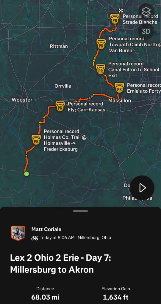
Our last day of the big adventure began with a chilly start as we rolled away from the hotel in Akron. The weather forecast was predicting rain and wind starting in the middle of the afternoon, so we hoped to arrive before the bad weather arrived. We’ve had seven fantastic weather days, so the idea of finishing all eight days without rain was very appealing. The good news is that the weather held off until after we completed the ride and checked into our hotel! Eight days of riding, not a drop of rain.
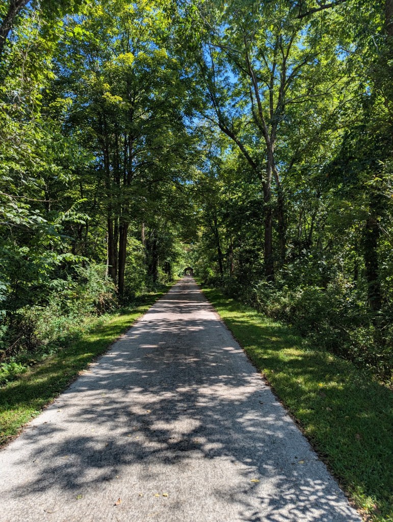
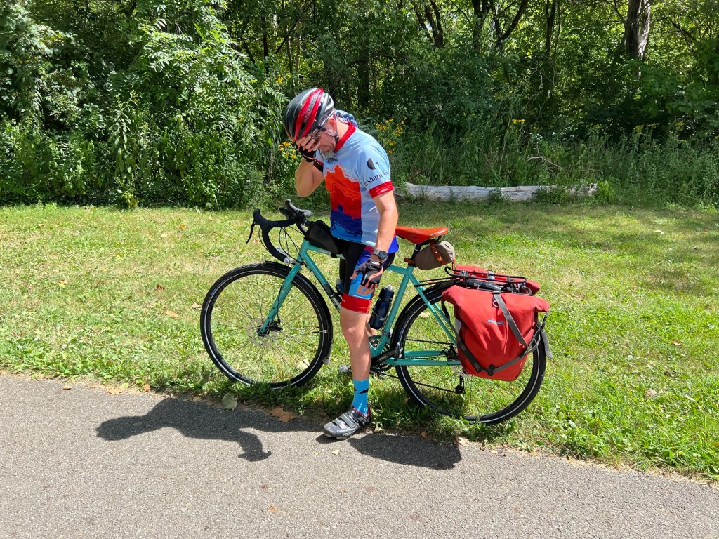
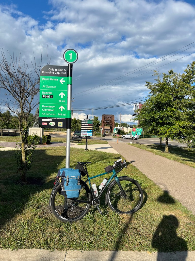
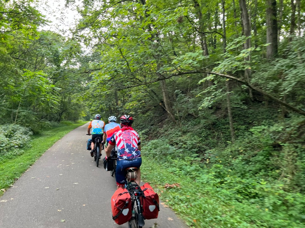
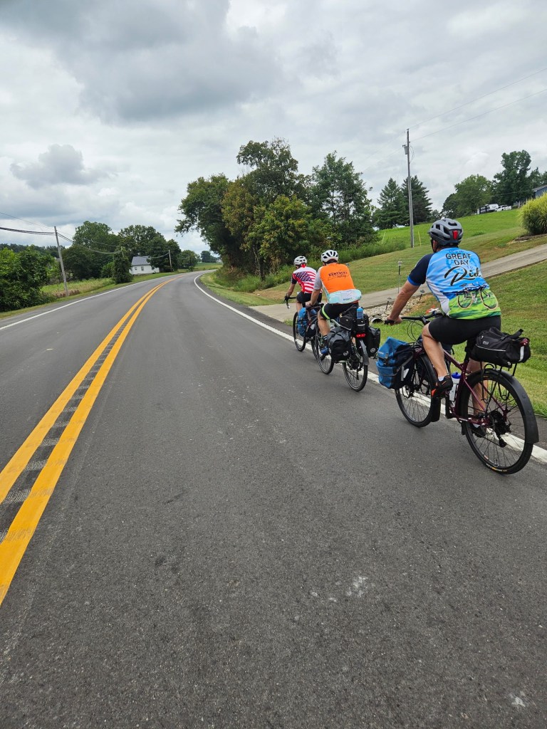
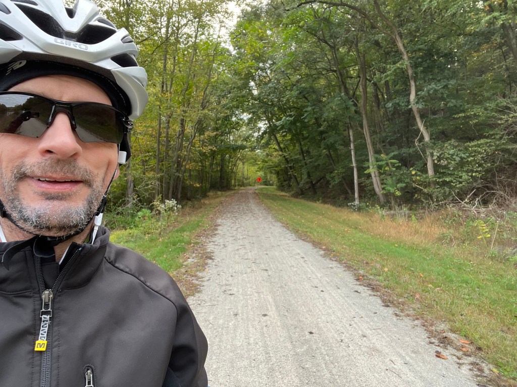
Navigating our way out of Akron was easy and smooth. We found ourselves pedaling north on the Ohio and Erie Canal towpath quickly making our way towards Cleveland. We stopped a few times for water and snacks, but otherwise we mostly just rolled on without any side adventures or issues. It was a great day for riding.
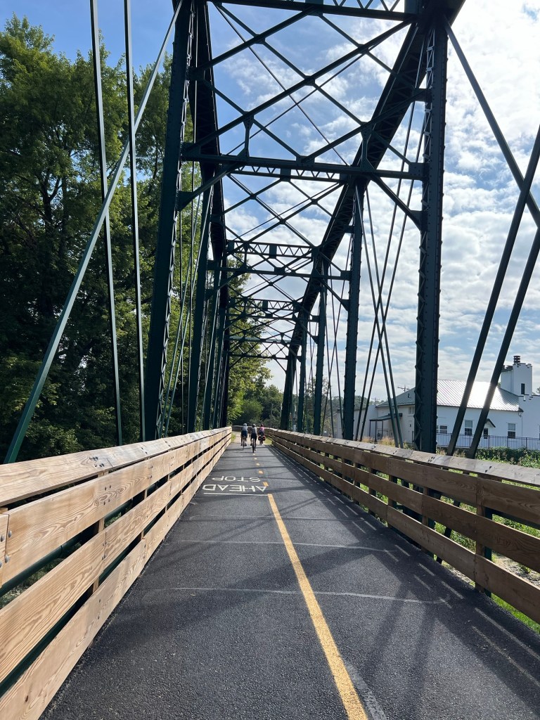
The towpath eventually becomes part of the Cuyahoga Valley National Park. We stopped at an information center for a few minutes to learn a bit about this particular canal. It is one of the major canals that helped move goods along before the railroads dominated inter-state commerce. The canal ceased function in 1913 after a major flood rendered it too damaged to consider repair.
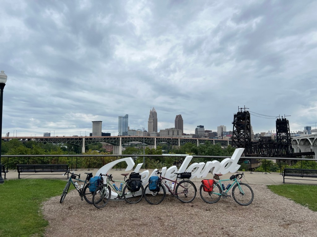
As we continued our journey, we found ourselves on the south side of Cleveland. There have been some new bike paths added since I last cycled here in 2019. We took this new route and it led us to the Edgewater park with very little time on city roads. We stopped by one of the Cleveland script signs on the south side of downtown before continuing on.
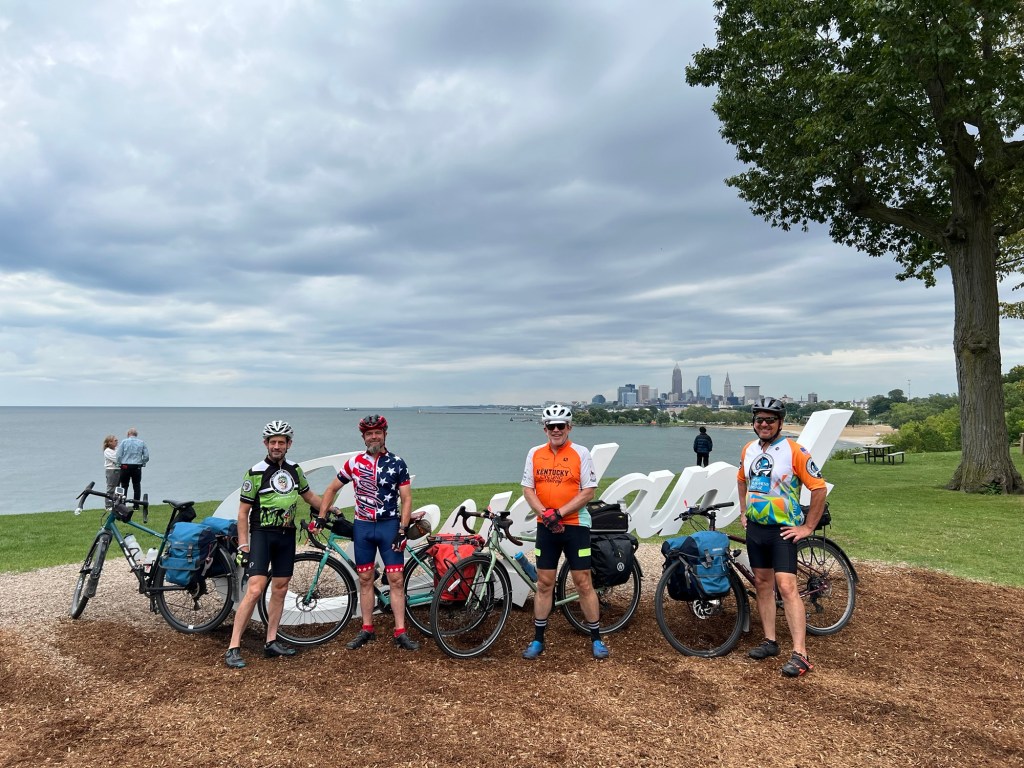
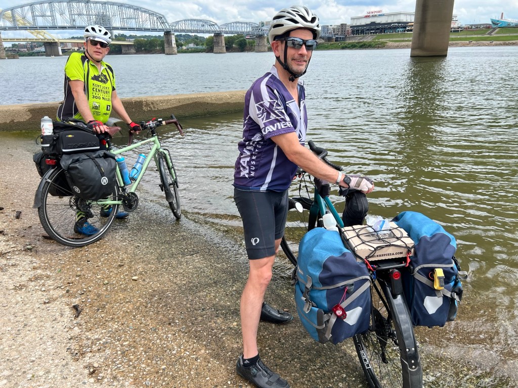
Edgewater Park is about 3.5 miles west of downtown along the lakefront. We rolled in and dipped our tires in Lake Erie, celebrating the completion of the journey across the state. We finished by getting pictures at the Cleveland script sign that overlooks the beach.
Our last part of the ride was to pedal back downtown to our hotel. We’re staying at the Westin. I nicely asked at check-in and they gave us two lake view rooms on the 16th floor. Nice.
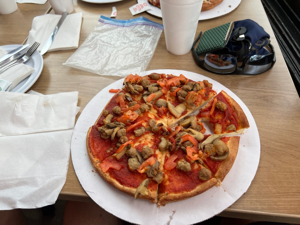
A few days ago we discussed each of us having a food bingo card. Omelettes, pasta, pizza, and so on. Yesterday, JB said that his bingo card had ribs left to fill. So when we arrived at the hotel, I asked the bellhop if there were any good places to get ribs nearby. He offered up “Mabel’s BBQ”. We got cleaned up and wandered over for an early dinner. It did not disappoint! My regular diet resumes first thing tomorrow – I won’t be burning an extra 2,000 calories every day.
After a little walk around, we returned and watched “Breaking Away” as a group. Billy had never seen it. It’s not a top-10 movie, but a fun 1979 movie about a a group of young men in Bloomington Indiana who take part in the Little 500 bike race. It’s not exactly a cycling movie, but it does feature cycling, so that was good enough. Seeing Dennis Quaid as young guy is kinda fun, too.
During the movie, we were treated to a couple of fly-bys from some military aircraft out our winds along the lakefront.
Tomorrow we catch a shuttle home with our gear. It’s been a nice trip but I’m ready to get home. We’re packed up and ready to go.
Our overall stats for this trip: 467.57 miles, no flats, and no mechanical issues whatsoever! Eight days of great weather. Just a couple of saddle sores.
I sometimes get asked why I do trips like this. The truth is that it combines a few things that I enjoy: cycling, quiet time, and seeing parts of our beautiful country that you can’t easily see by car. It’s also great to spend time with friends. Perhaps one intangible reason is the sense of accomplishment of making a big goal and achieving it.
I’m not sure what my next cycling adventure will be. I have a few ideas in mind, but nothing firm yet for 2026. Stay tuned.
Until then, I hope you’ve enjoyed traveling along with us.
Peace,
— Dcn. Matt