This morning started a little later than we had intended. We took a leisurely pace getting going and had breakfast at the Hampton Inn before departing.
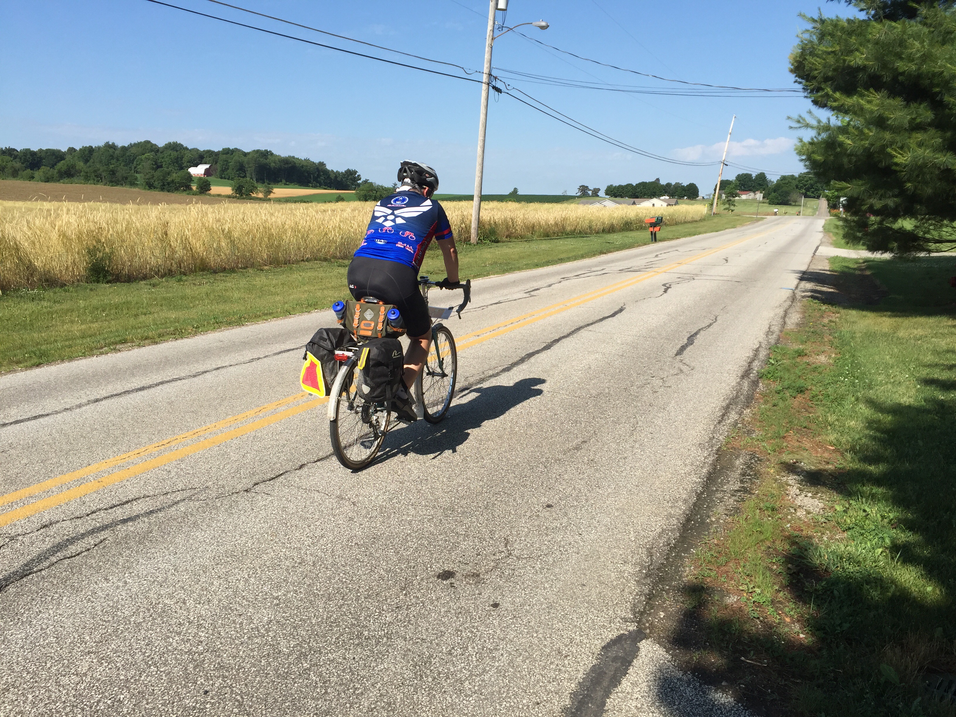
We crossed over the bridge and found the beginning of the Sippo Valley Trail pretty easily. The trail was a mix of paved and crushed limestone. It was a fairly easy ride to Dalton. Once in Dalton, we left the trails behind and began an 18 mile trek on country roads towards Fredricksburg. The roads had plenty of gently rolling hills and very beautiful farmland. We saw many Amish farms and the people working them by hand.

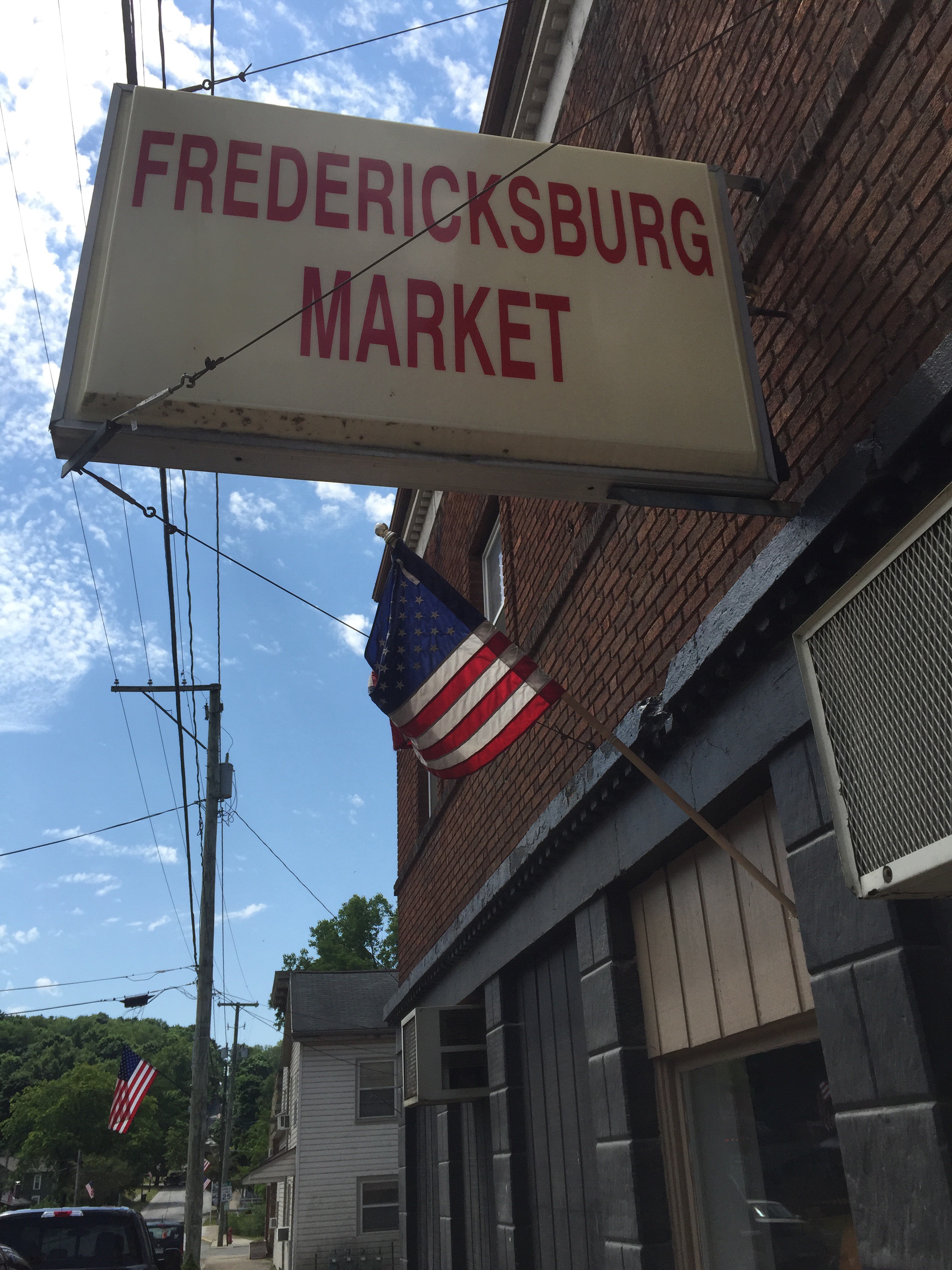
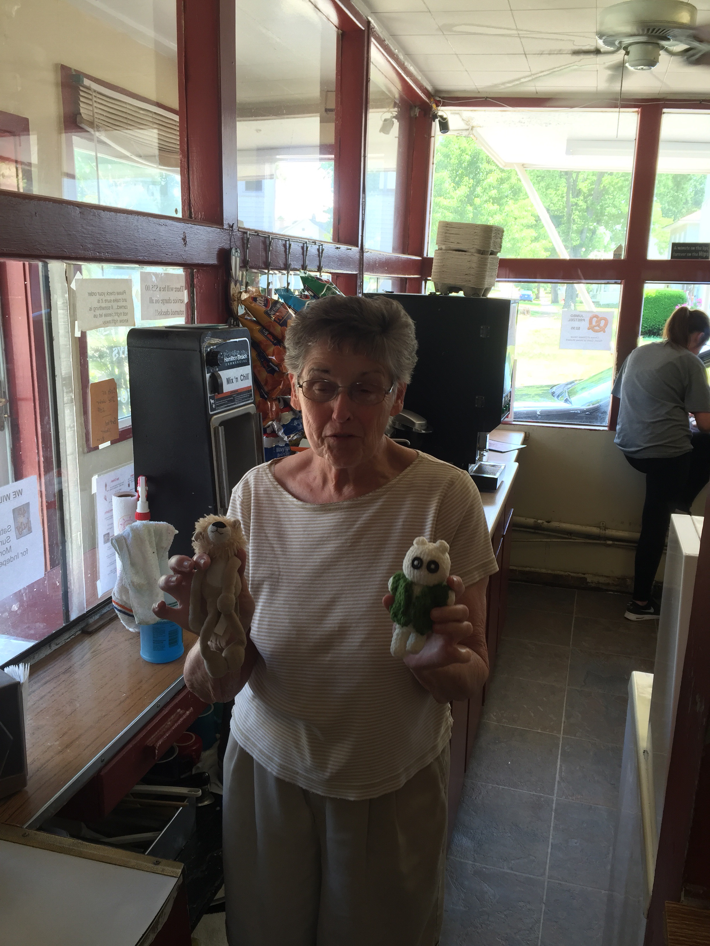
We stopped in Fredricksburg for lunch and to get some Gatorade. There was this awesome little store there. The people really friendly and made us feel at home.

Across the street was a pizza place. It looked like our best option for getting a decent meal. I’m not supposed to be eating wheat or dairy, but I ordered a pizza anyway. It was fairly tasty. We struck up a conversation with two gentlemen who were at the table next to us. They happened to both be named Ruben.

After finishing the pizza, we got out and found our way to the Holmes County Trail nearby. It was a nicely maintained trail. In this area, we saw far more Amish buggies on the trail than cyclists. By this time, the weather was becoming pretty warm. It wasn’t too bad in the shade, but the sun was hot. Around 4 miles later we arrived in the small town of Killbuck. We stopped for some ice cream, a cool place to sit, and to fill our water bottles back up. That turned out to be a good thing… We weren’t really mentally prepared for what was next.
Just outside of Killbuck, we had to again use some country roads to the next town. The maps we had said “there is a climb from SR520 to CR6” and that the next section had “significant hills”. Both were understatements. What followed was about 14 miles of the most difficult riding I have ever done. The first climb on CR6 didn’t look too bad at first. But it kept going and going. Every time you thought you saw the top, you’d turn a corner and see even more and steeper road ahead.
The CR6/CR25 stretch continued to challenge us over and over with one long steep descent/climb after another. It was mentally exhausting to climb up to the top and then see another even taller hill just up the road. We drank so much water trying to stay hydrated. I was very thankful we had topped off all the bottles before leaving Killbuck.
Little by little we chipped away at the miles and reached route 62 near Brinkhaven. Then it was nearly all downhill on a heavily trafficked road for a couple of miles. I was going much faster than I am comfortable with, especially on unfamiliar roads. Thanks for my guardian angel’s company on that stretch!
After the descent we continued another 2-3 miles and joined the Mohican Valley Trail. If you are going North to South like we are, watch carefully for the Ohio Bike Route 1 turn signs. We missed the sign, but my Garmin alerted me to being off route a few hundred yards later.
The Mohican Valley trail is mostly paved, although it did have some rough patches. The highlight of this trail is the “Bridge of Dreams”. This is the longest covered bridge in Ohio. We caught a few pictures before continuing on.


Once on the Mohican Valley trail, we only had about 4-5 miles to our dinner stop in Danville. We stopped at The Hangout. We each got a small(ish) steak and baked potato. It was really yummy. We had to kill some time before we could check into our AirBnB in Howard. The Hangout was a good choice for that.
Leaving Danville, we picked up the Kokosing Gap Trail. This is a really nicely paved trail that took us about a mile from our AirBnB stop.
Our accommodations here are really nice. Our host, Dave, has made us feel very at home in their restored farm house. So, our laundry is now drying, we have showered, and it is getting very close to being bed time.
Tomorrow looks to be pretty toasty and we need to get to the SW side of Colubus before mass at 4:30. So, it will be an early-to-bed and early rise tomorrow!
Peace.
