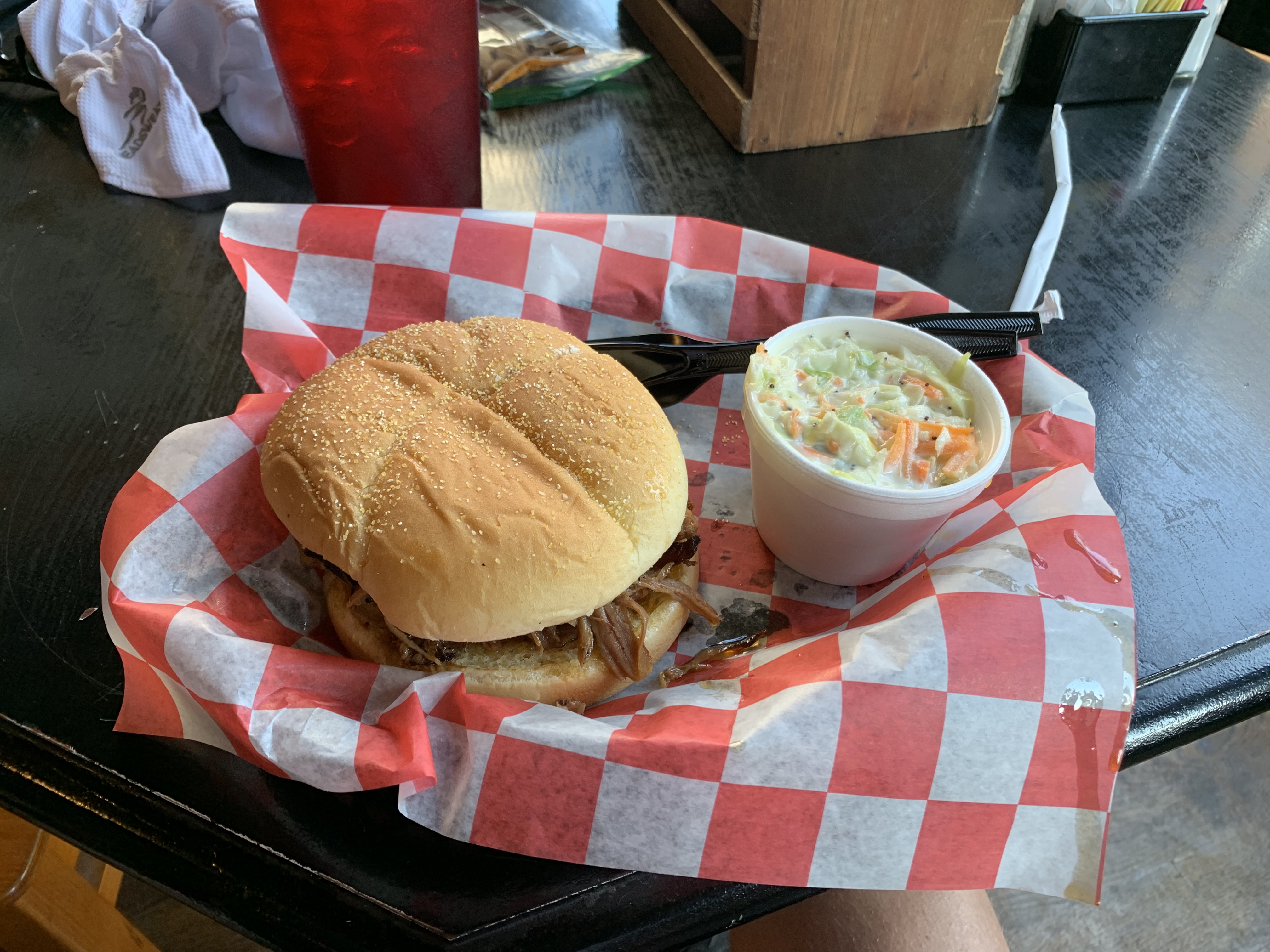
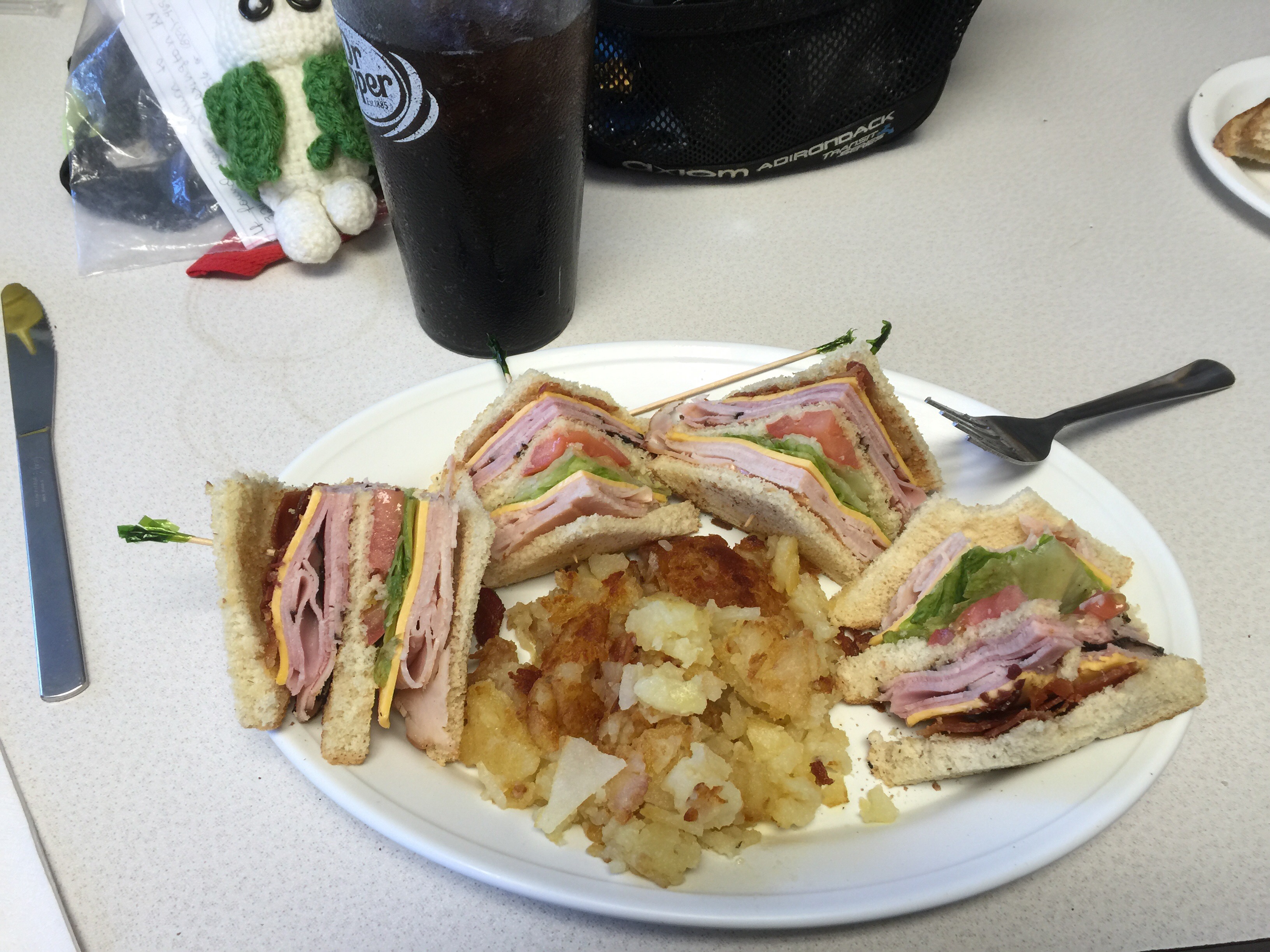
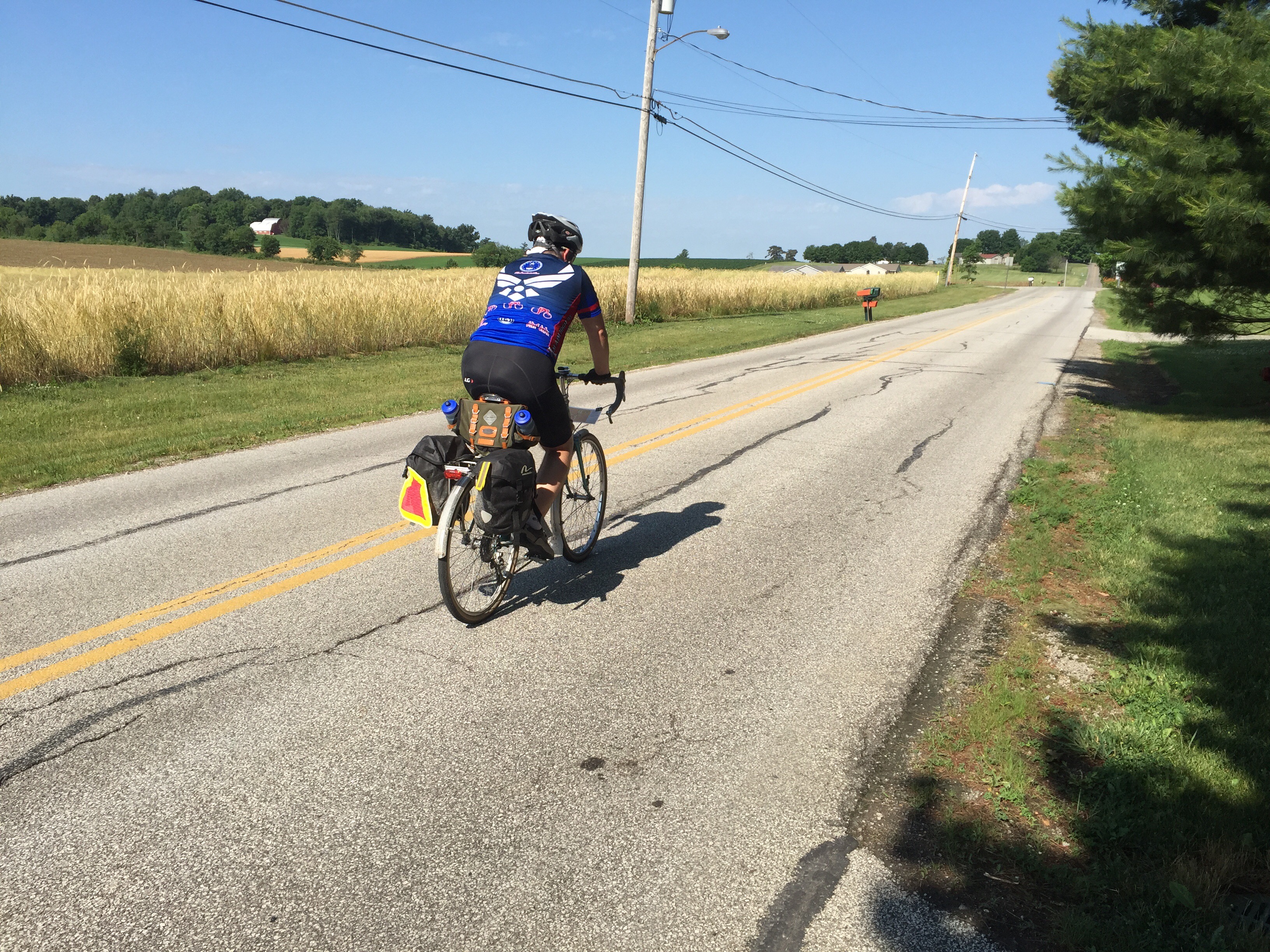
I anticipated some high temperatures today, so I left Falmouth right as the sun was rising. That meant that there were no open restaurants to get breakfast. I went to a mini-mart the night before to get a few snacks and bought a calorie-dense option to add to my breakfast: Pop Tarts. Not particularly a favorite, but lots of calories packed into two of them. I knew I would have a lot of miles before a real meal. There is *nothing* between Falmouth and Newport, basically.
So this was my breakfast. It turned out to not be enough, but I did survive:

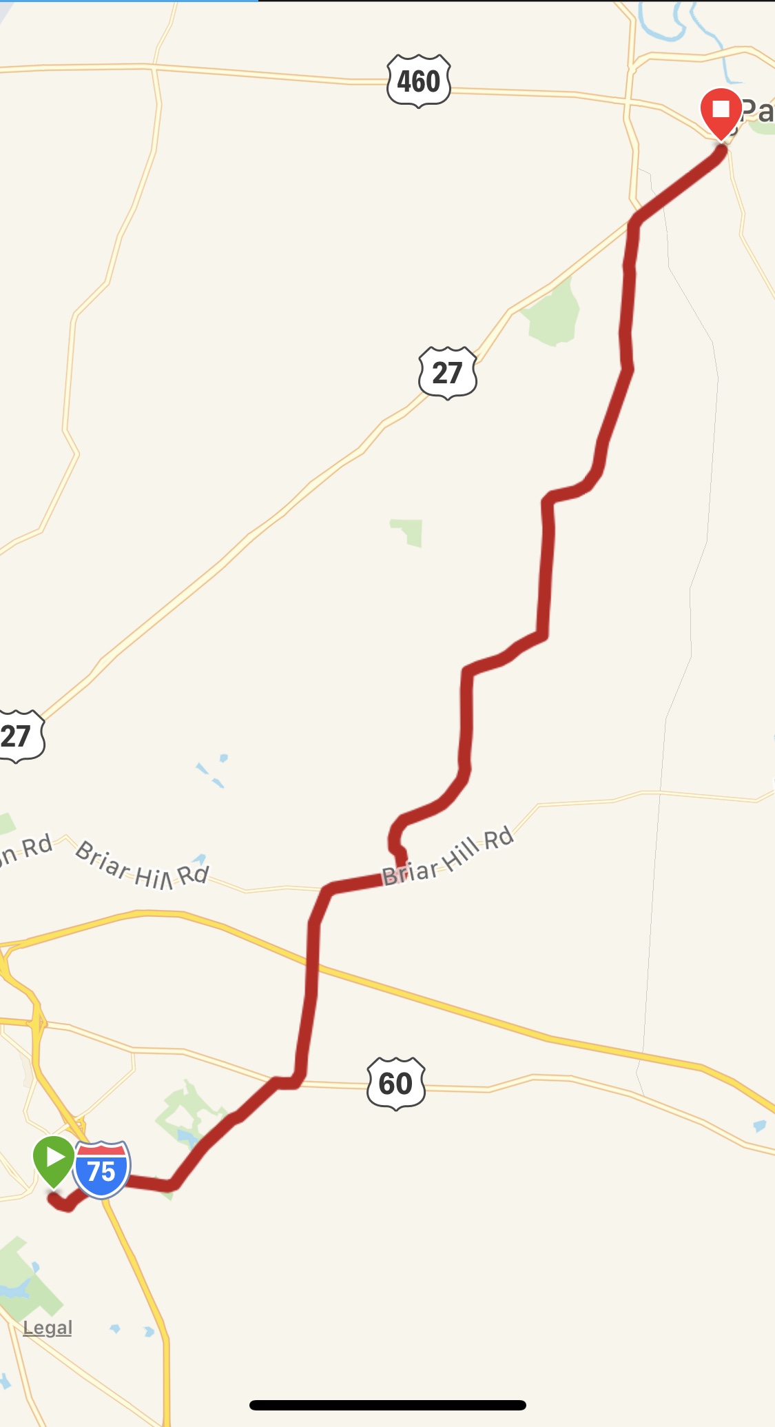
Falmouth is located right on the Licking river. Cincinnati is on the Ohio river. Between the two are some major hills that you have to get over in order to get to Cincy.
So, I knew that I’d be doing some serious climbing in the first 5-7 miles of the ride. Looking at the google map elevation was a bit intimidating. If you look at the elevation chart that my GPS logged, you’ll see that there are a handful of steep climbs. It turns out that the most aggressive percent-grade was within the first mile of today’s ride. It was the first hill I’ve done this season that just wiped me out. I got to the top and had to stop for air for a minute. I was treated to an awesome sunrise at the top for my efforts. The sun shown down on the valleys around me and reflected off of the morning mist. (The grey line on the right axis is the temperature. It hit mid 90s late in my ride)


I had originally intended to go up over a different route, but I realized that I could go right past Our Lady’s Farm on my way if I just stayed on Rt.159. Our Lady’s Farm was built on the sight of a Marian apparition. It is a fantastic area and the views are spectacular. I stopped there for about 30 minutes and walked around. Unfortunately the chapel was locked, but I certainly soaked up the breathtaking views around.
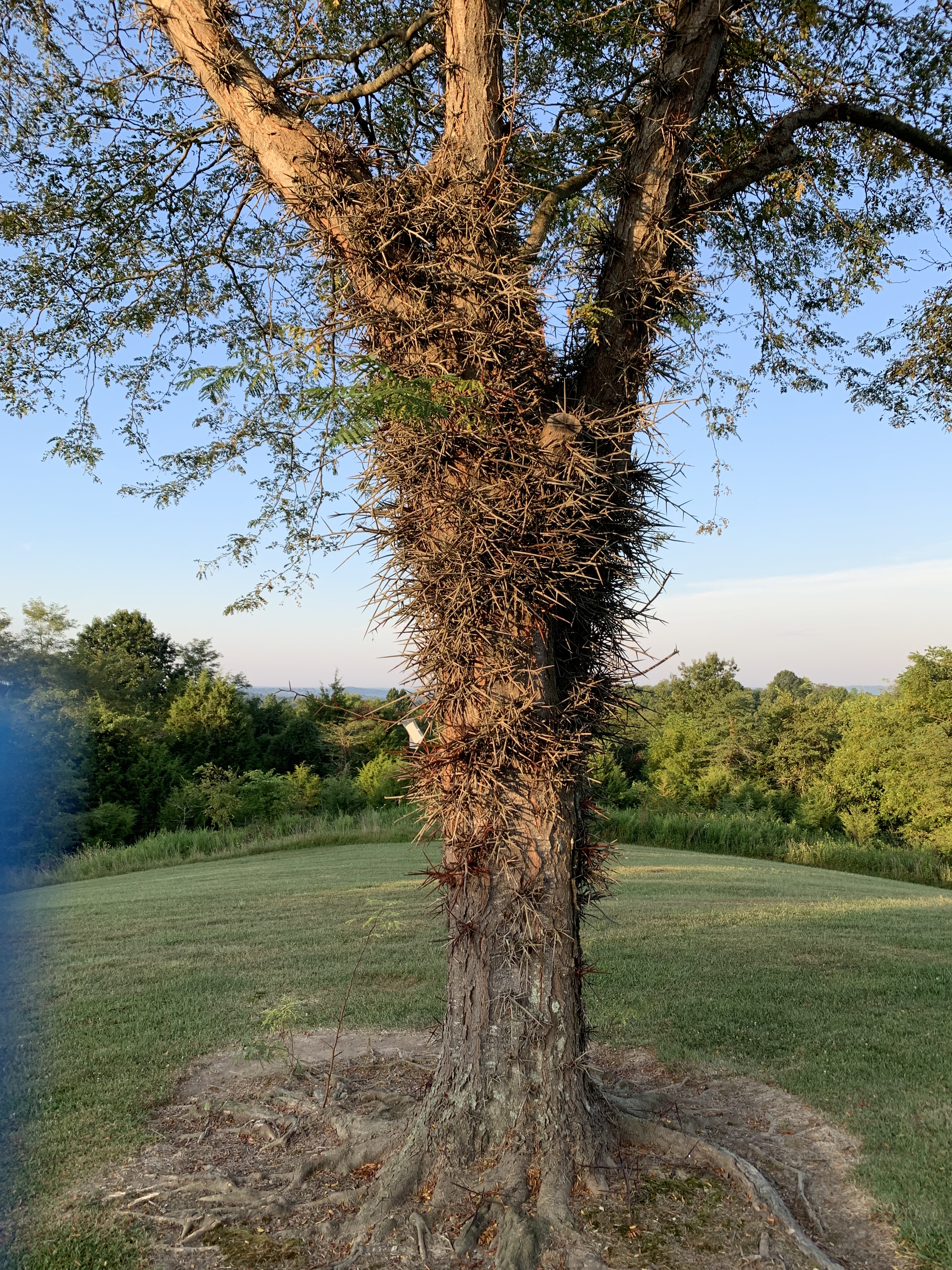
Behind the chapel is a very old thorn tree. I was told that if you look in the upper branches, you can see some branches that have self-woven into a crown of thorns. I was not able to see it – I’ll have to come back when someone can point it out to me.


One of the nice parts of reaching Our Lady’s Farm is that it was a nice waypoint – it was the top of all of my climbing over the hill. It stands at the top of the hills around it, so generally-speaking, I didn’t have any major climbing left. If you look at the stats, the elevation change is not very impressive for a typical 60+ mile ride, but when you take into account that all 2000+ feet was within the first 7 miles, it was a challenging start to the day. At least only the first hill really kicked my tail, the others weren’t quite so bad.
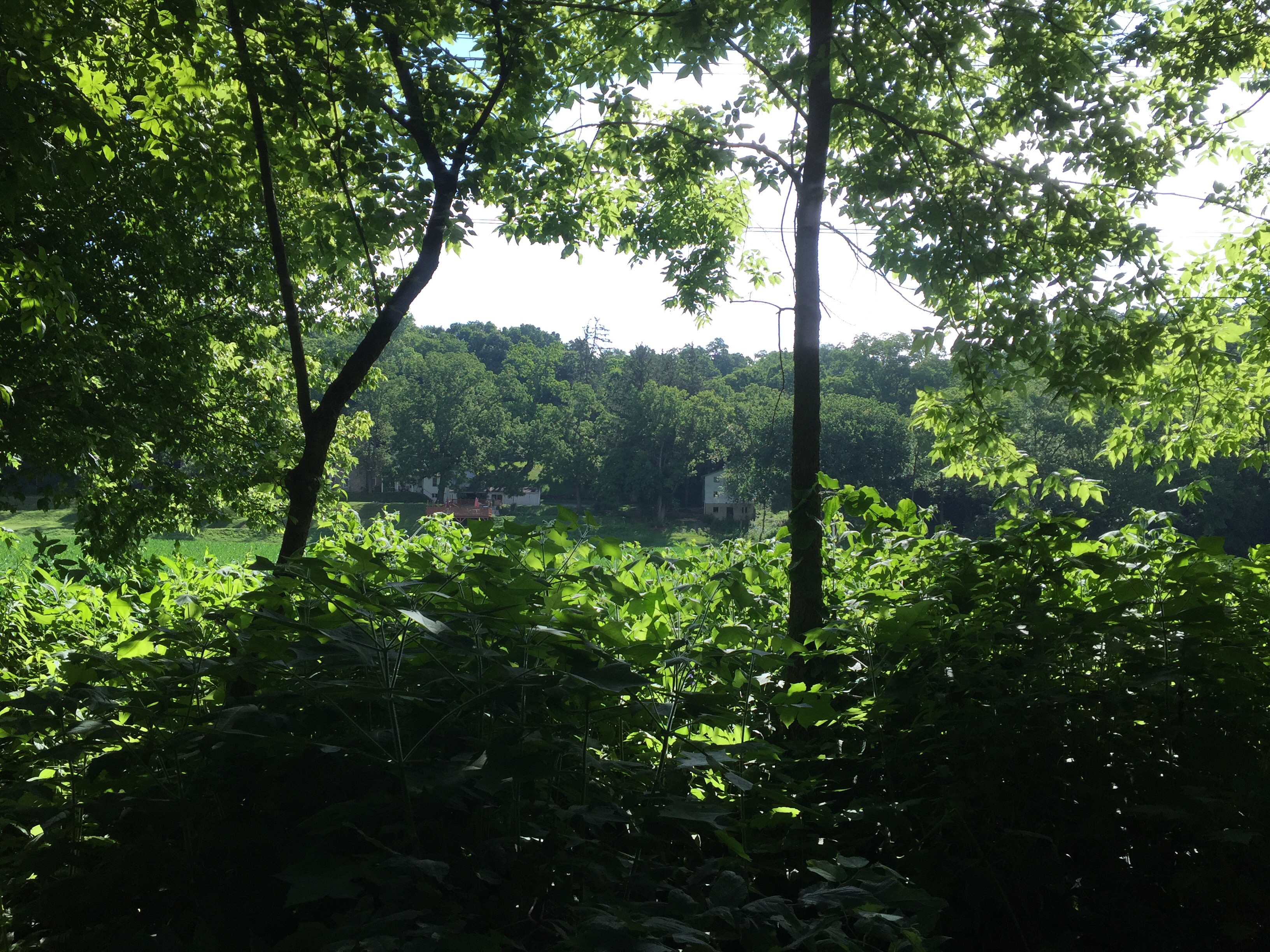
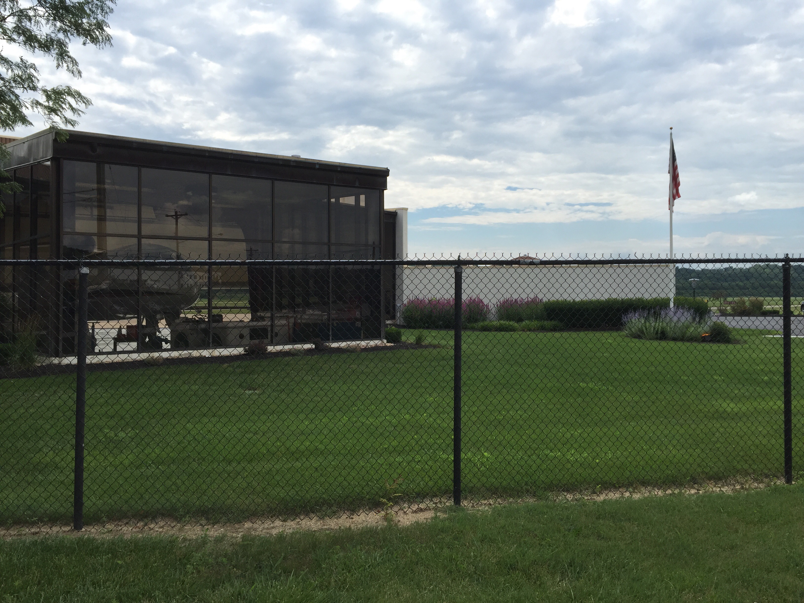
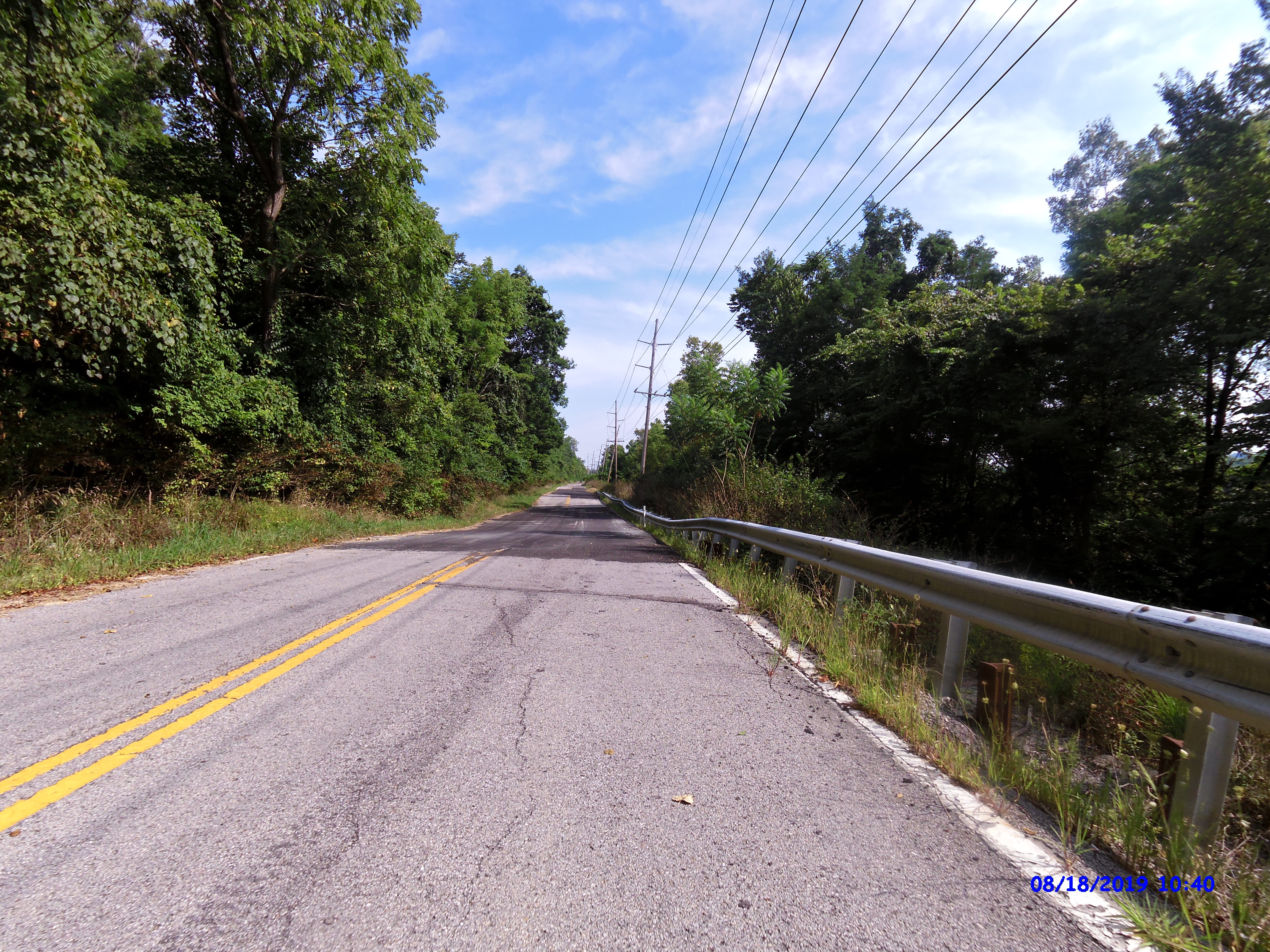
After leaving the farm, I went along the ridge line for several miles before descending down to the Ohio river valley and joining up on Route 8. This view was from up top. Great view … except for the nuke plant cooling tower.

After giving back all of my hard earned elevation on a fast and fun descent, I rode about 25-30 miles NW on Route 8. It is a pretty road, but after 25 miles, I was a ready for a change.
Route 8 has been replaced by AA highway, which parallels it and is much faster speeds. At one point about 20 miles from where I joined it, Route 8 is closed with concrete barriers. Cars can’t get through. I had driven Route 8 early this summer and could still get through at that time. It used to say “local traffic only”, but now it is really closed. I cautiously went around the concrete barriers because the only alternate route was definitely not bike friendly on a high speed highway.
Route 8 is in bad shape for cars in this section. The road is sliding off of the hillside with lots of potholes and ripped open pavement. Shortly after I went around the barriers, I saw another rider coming up behind me and I asked him if we could get through. He said yeah, but there was a mudslide we might have to walk around.
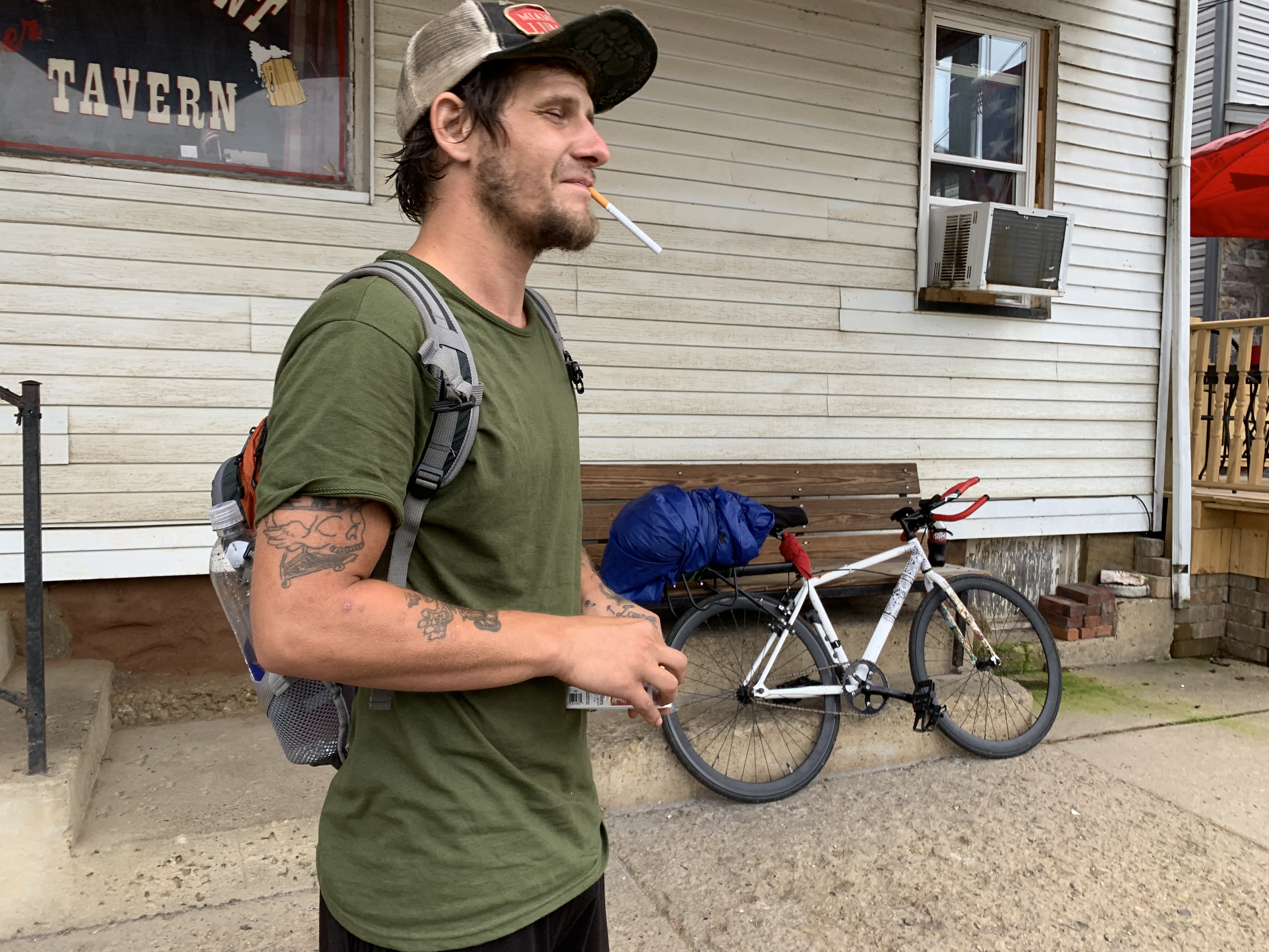
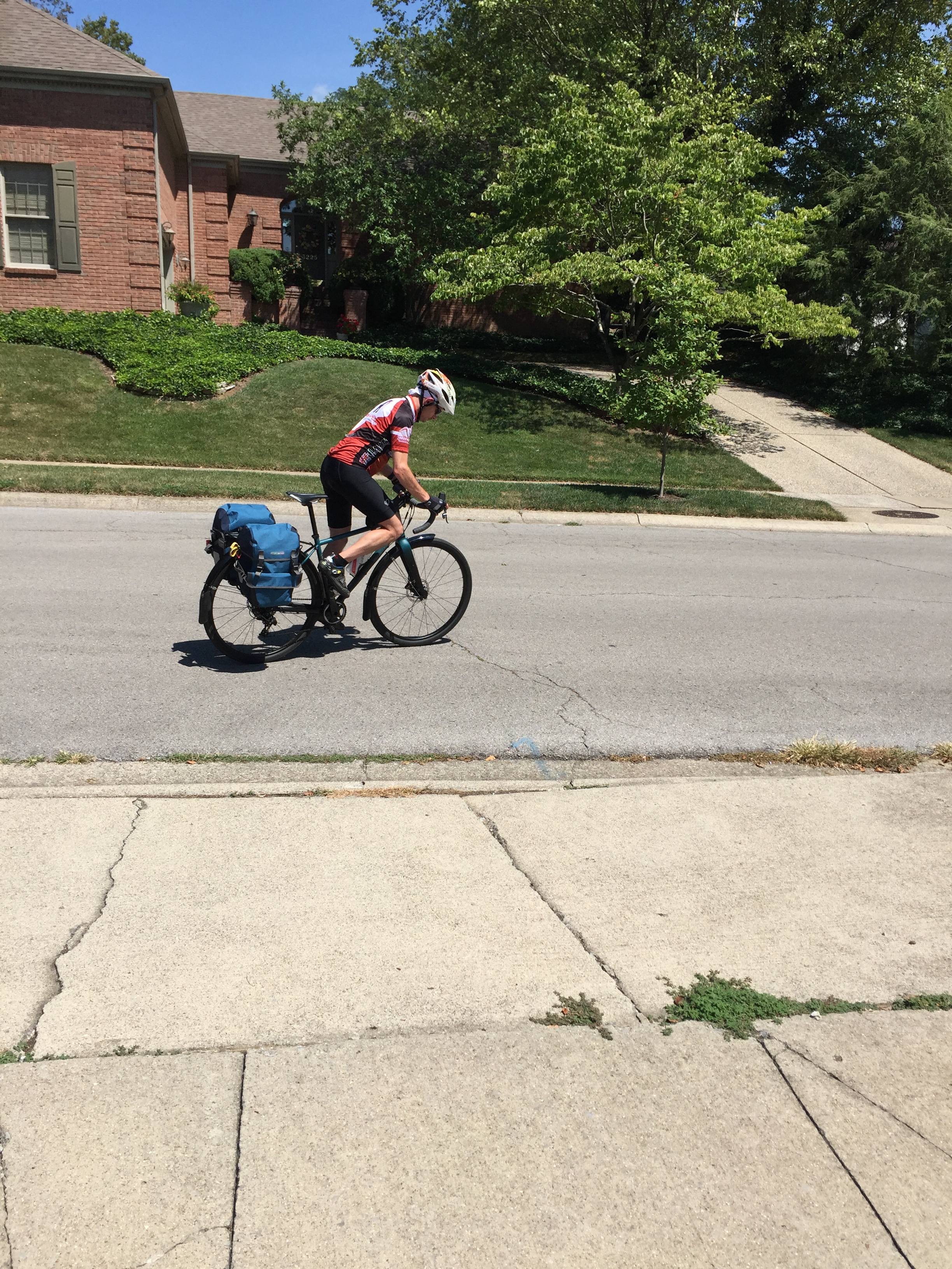
His name was Rex. Rex is a local rider and was out for his Sunday ride. He seemed happy to pace back to my touring speed and kept me good company all the way to Newport – about 8+ miles. We eventually found the mudslide and the trees that had come down with it. We walked our bikes around them without much difficulty and resumed our journey.
It was about this time that my lack of food was catching up to me. Badly. I had been drinking a lot of water, but probably needed even more. I tried to eat an energy bar, but it just did not want to be swallowed. I forced down about half of it and hoped for the best. I nursed myself along and knew I needed real food before I bonked.

Rex peeled off when we arrived in Newport. The temps were getting very hot. The wonderful cool temperatures of my morning climb had been replaced with heat and powerful sunbeams that seemed to be cooking me.
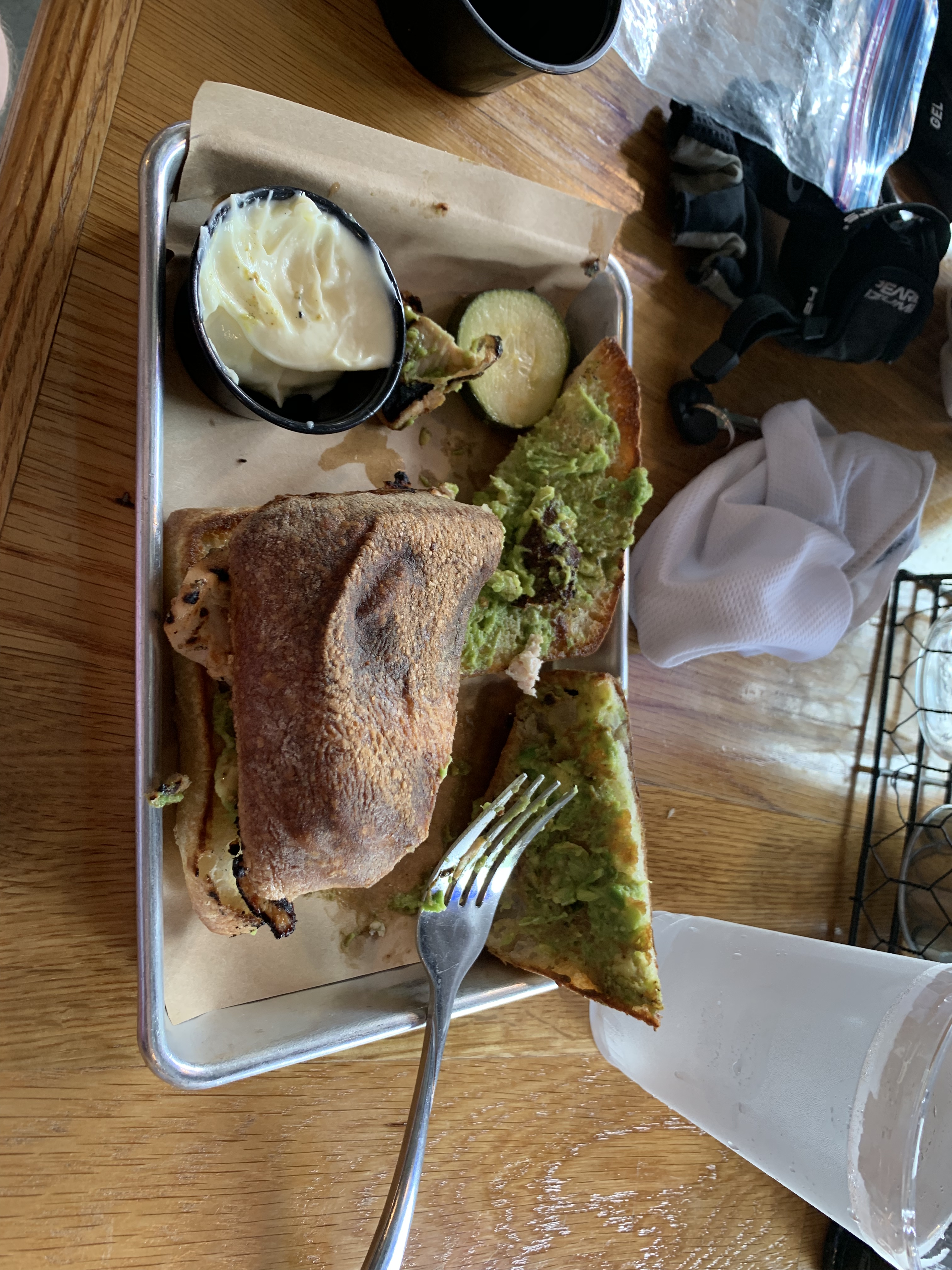
Once in Newport, I found some shade, soaked my head covering in cold water from a fountain, and pulled out my phone. There were not too many choices near by that were open yet, but I did find a fancy-schmancy sandwich and salad place two blocks away. Although I needed to eat, my stomach was very sour feeling, a bit nauseous, and nothing sounded good. I settled on a grilled chicken sandwich with avocado spread and a side of fruit. I slowly ate it, enjoying the air conditioning.
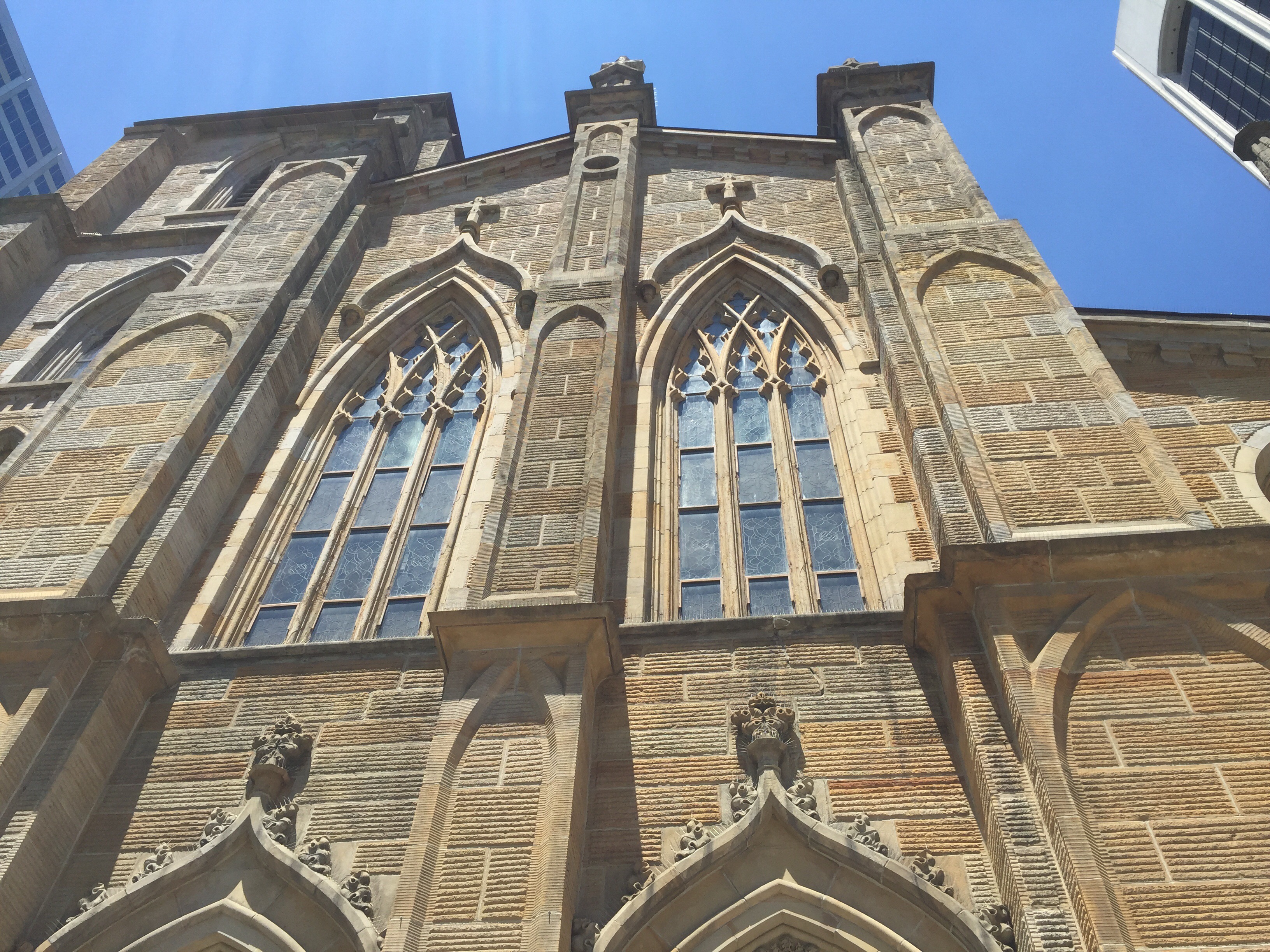
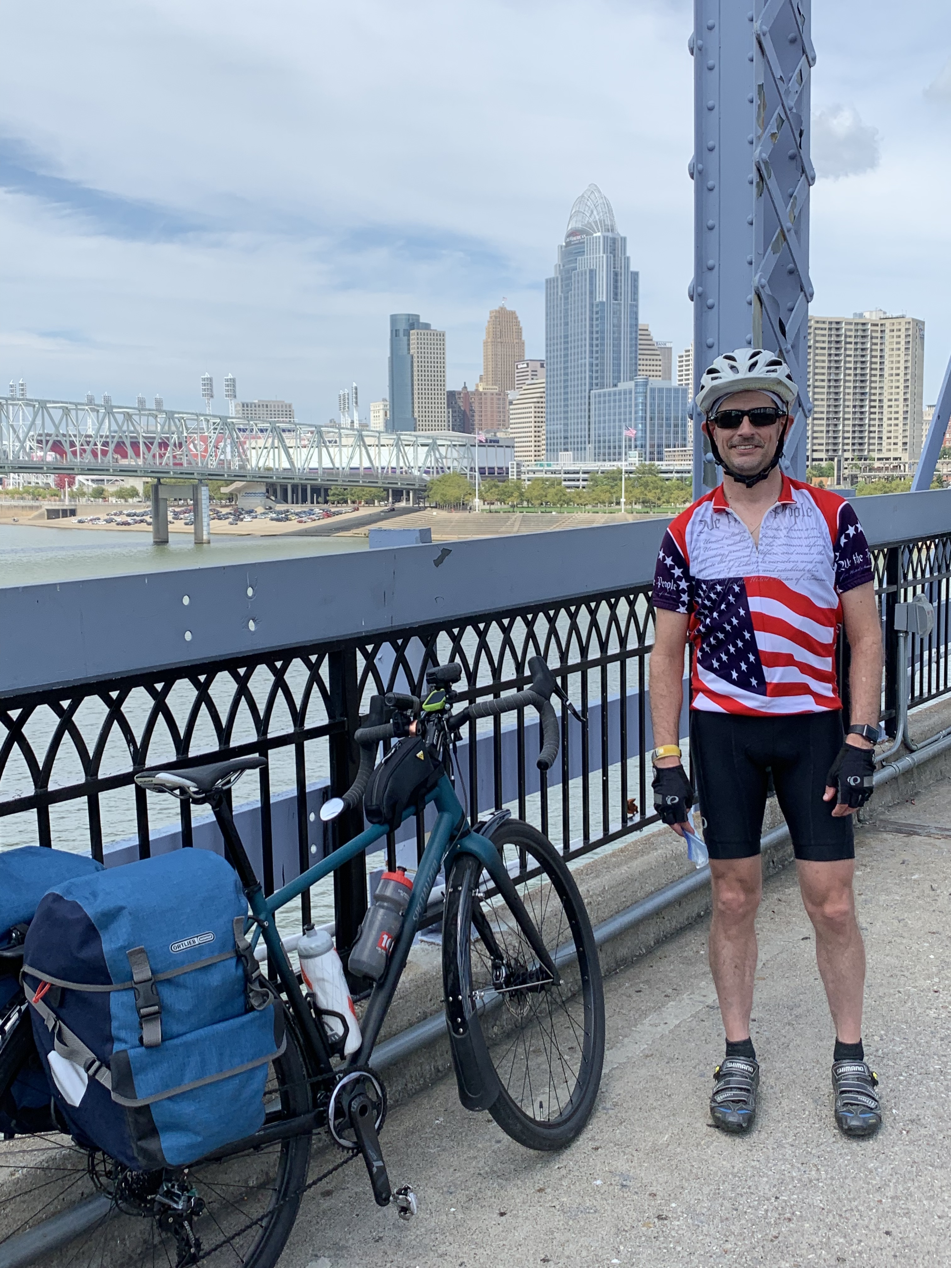
Newport is on the south edge of the Ohio river directly across from downtown Cincinnati. There is a pedestrian bridge called the “Purple People Bridge“. It is a very old bridge that used to carry public trolleys, cars, and pedestrians. In 2001 it was repurposed for just pedestrians and the public voted on the name.
I rode across the Purple People Bridge and stopped for a snapshot as I arrived into Ohio! That’s the Queen City behind me.
Once on the other side, I cruised along the river front until I found a place where I could dip my wheels into the Ohio River. I’m going to do the same when I get to Lake Erie.


There was a neat festival going on in Yeatman’s Cove park along the riverfront, but because it was so hot and I wasn’t feeling 100%, I decided to keep moving and get to my destination.
The first few miles of the #OTET are on River Drive in a bike lane. Sadly, the bike lane was a total disaster today. The city is doing some sort of sewer work and about every 100 yards, the bike lane is coned off so I would have to go out into the traffic lane and back. Generally that went without incident, but there was one doofus in a pickup who insisted that although I signaled and gave him plenty of room, he did not feel like returning the favor. I was able to very easily avoid danger, but … geez man, taking another five seconds to let me over is not really going to make you late. Don’t be a doofus!

My next picture opportunity was in front of Lunken Field. It opened in 1925 and was at one time the largest municipal airport. It is primarily used for private planes now. I love the Art Deco stying of this building. There is a cafe inside that I have really wanted to check out, but the heat was starting to get to me and I still had another fifteen miles to go. I’m going to make it a point to stop by next time if it is open.
Just north of Lunken Field, I deviated from the official Ohio To Erie / Route 1 route to save a couple of miles of hills up into Mariemont and back down to the other side of the Little Miami river. It took me onto a busy street for a mile with a wide shoulder. In hindsight, probably not the best choice. Much too busy and fast for my liking. Next time, I’ll just do the climb.
I finally joined up with the Little Miami bike trail at the very south end. This is a spectacular bike trail. I’ve ridden it end-to-end numerous times. It is about 65 miles long and stretches from near Lunken Field all the way to Xenia Station. Paved, mostly shaded, with neat little towns and rest stops along the way.
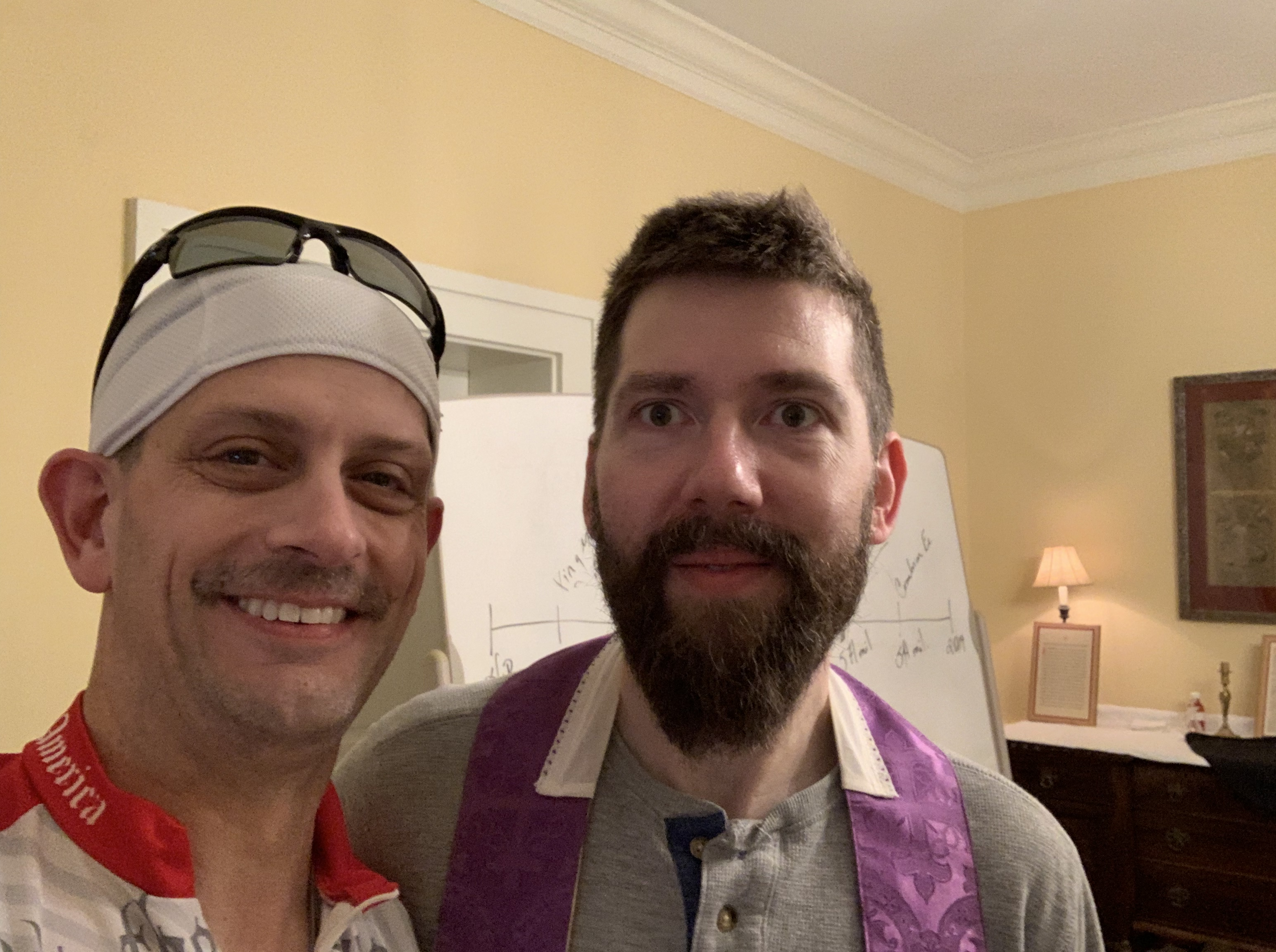
I made arrangements earlier to stay with a priest in Milford. My stomach was still a bit rocky and the sun was baking me, so I was glad the end was coming up soon. 10 miles on the Little Miami was just about enough. When I stopped at the Milford trailhead, the bike shop there had free frozen fruit bars. Divine intervention! Calories and coldness all in one. It tasted amazing for a simple Kroger brand treat.
I left my bike at the parish in Milford and Father Cordier picked me up to take me to his other parish – Saint Elizabeth Ann Seton about 6 miles away. It is their summer festival. He’s been a delightful host and the festival was fun. Very family oriented rides and games.
After a very thorough shower and a load of laundry, I wandered over to their school cafeteria where their traditional festival dinner was served: home made fried chicken, with fresh off-the-vine tomatoes (YUM!). My stomach was craving real food and it hit the spot. I finished it off with some cherry pie. This parish knows how to feed its people! For $12, it was a great fundraiser and probably the best fried chicken I have had in many years. On the up side, a good meal seems to have greatly improved how my stomach feels.


Here are the stats for today. The Temp says 70 degrees. That was the start. It was in the mid 90s when I finished.


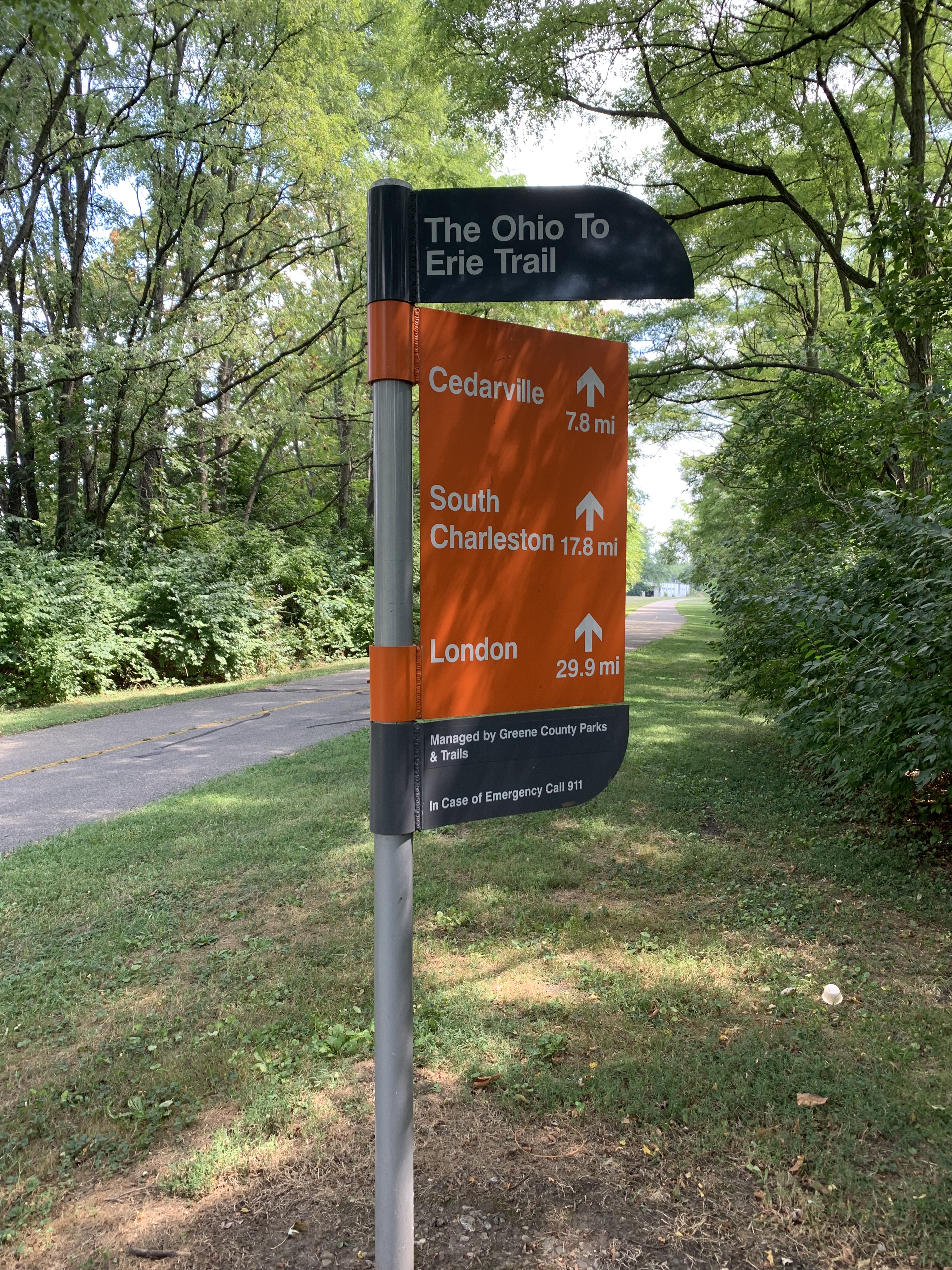
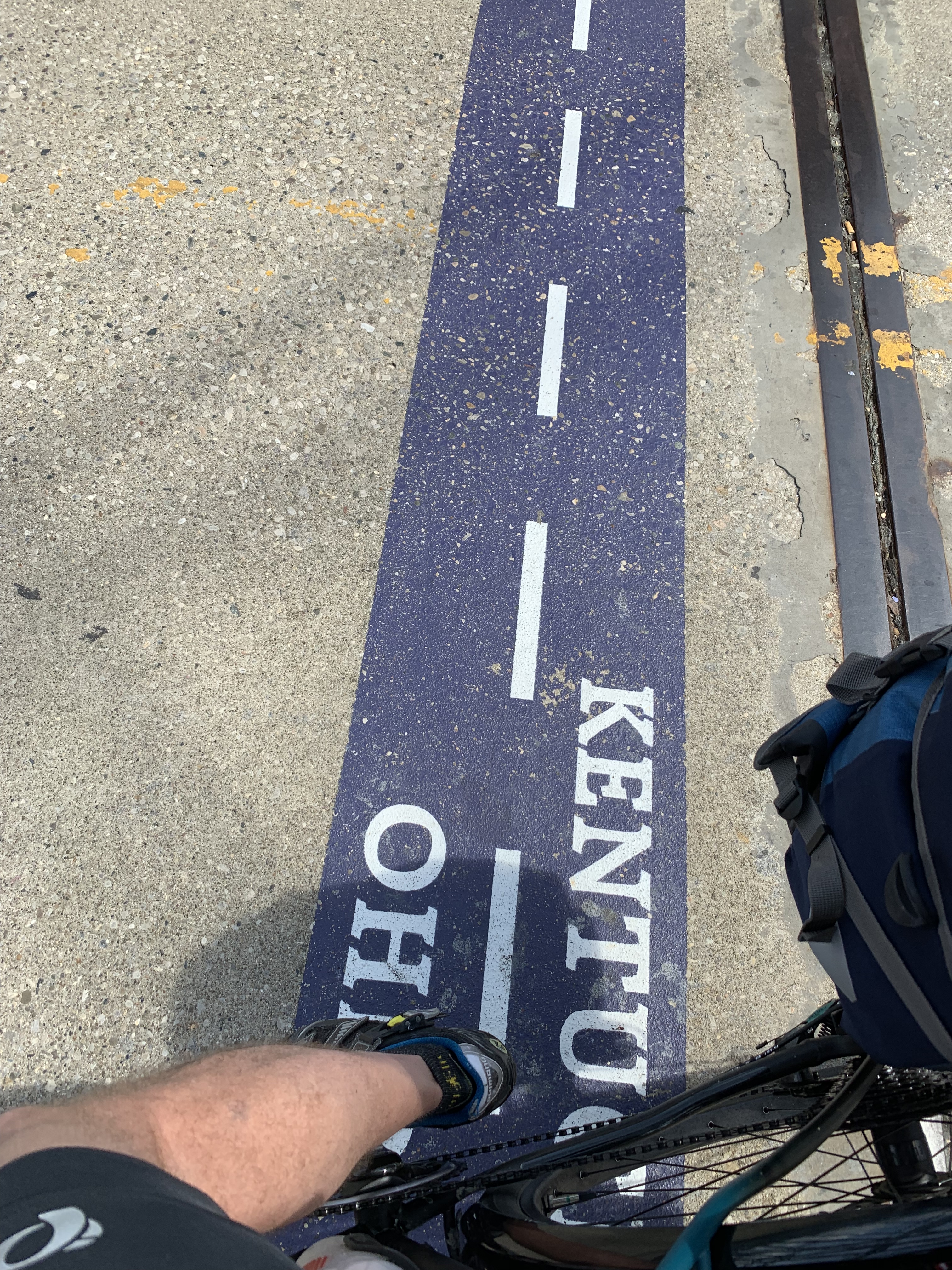
So I have officially finished the Kentucky part of the KY + #OTET route. From here forward, I’m going to be following the Ohio To Erie Trail with a couple of minor detours to do some sight seeing and lodging.
Tomorrow I will be on the Little Miami to Xenia, then NE from Xenia to Cedarville. It is supposed to be a very hot day again tomorrow, and I’m very familiar with this part of the route. So I won’t likely do much sight seeing. Instead, I’ll probably try to get my miles in early to avoid the heat. I might even arrive by lunch time and have time for a much needed resting afternoon.
The last three days of riding have been very hilly, especially the last two. My legs are a bit sore for the first time this entire riding season. The next two days are incredibly flat. That’s sounding nice for a little while. I enjoy a mix of flat and hills, but I’ll take little less climbing for a few miles.
I have received a few more names to pray for and carry to the shrine for St. Dymphna. As a reminder, if you have anyone you’d like me to be actively praying for along the route, please send them along and I’ll keep them anonymous, of course.
More to come tomorrow. I’m going to do some reading and hit the sack early today.
Peace!
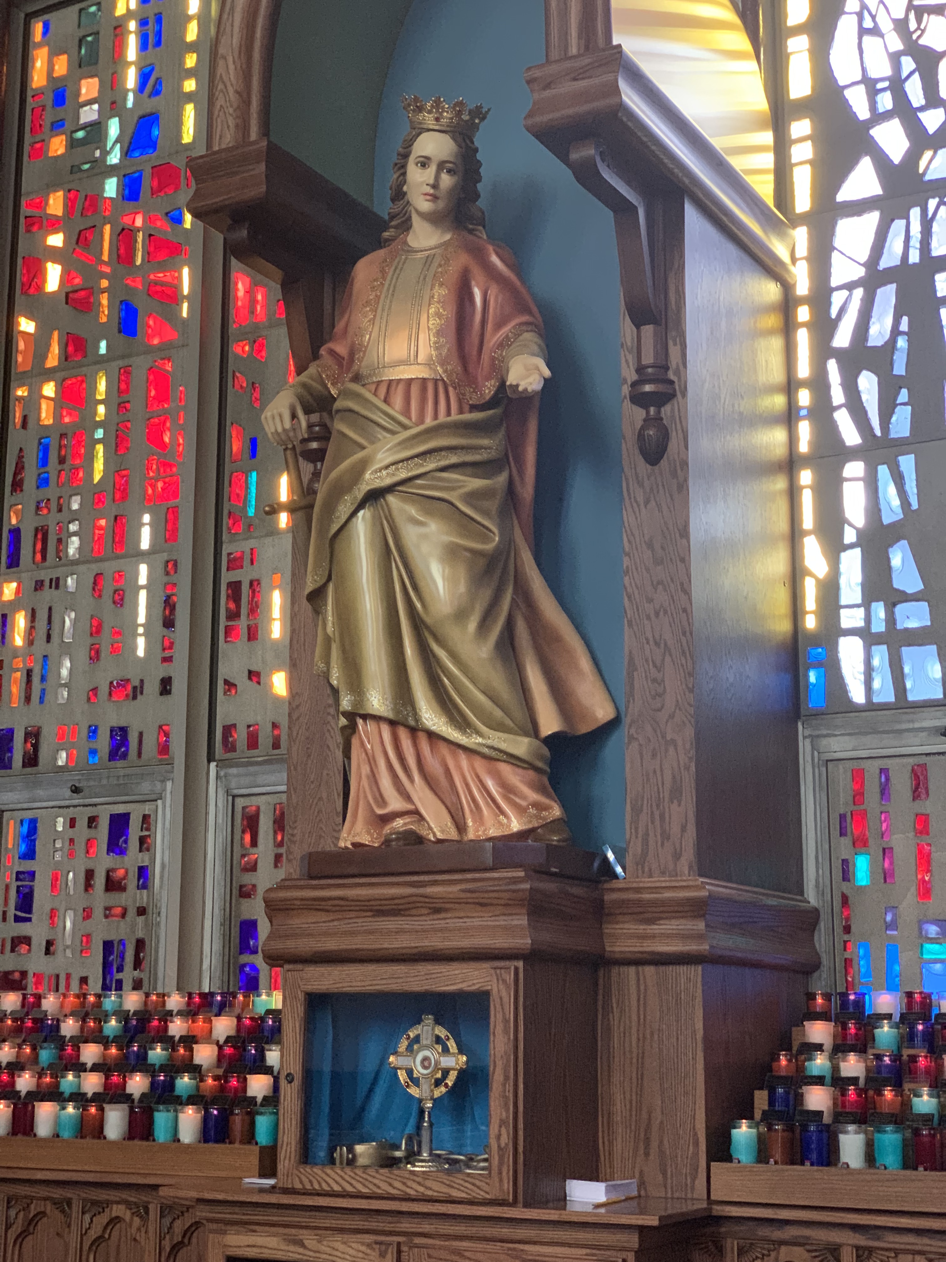
St. Dymphna, pray for us.